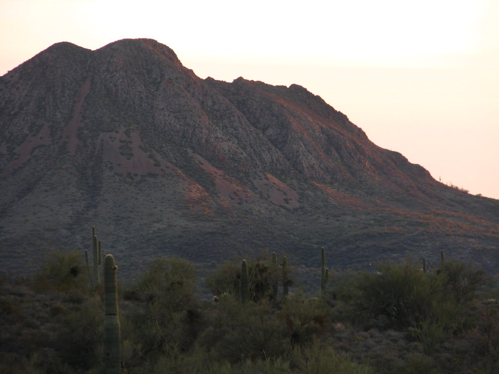
Gavilan Peak
 Photo: Phoenix500, CC BY-SA 3.0 (via Wikimedia Commons)
- 2,976 ft
- summit
- Nov–Apr
- best months
Gavilan Peak is a summit in Arizona, rising to 2,976 feet about 2.8 miles from the town of New River. It sits among a cluster of trails and waterways, making it an easy anchor for a day of hiking or paddling in the area. Spring and fall are the most comfortable times to visit. Typical averages from a nearby weather station in Carefree show March highs around 74°F and October highs around 86°F, while summer highs climb into the 100s. That station sits about 450 feet lower than the peak, so temperatures on top run a little cooler. Several trails lie within a few miles, including Daisy Mountain Trail at 2.3 miles and Black Canyon Trail Access at 2.5 miles. The New River, about 3.5 miles away, offers canoeing, and Shoemaker Spring Trail is roughly 3.9 miles off.
Conditions and forecast
Daily highs and lows, wind and the chance of precipitation at the summit for the next 7 days, from the Open-Meteo model.
- Summit elevation
- 2,976 ft
Elevation from USGS 3D Elevation Program terrain data (about 10 m resolution).
We don't know of a mapped trail or route to the summit of Gavilan Peak. Plan the approach with local maps, a guidebook or a local guide, and check conditions before you go.
Questions about Gavilan Peak
How tall is Gavilan Peak?
2,976 ft (907 m).
Is there a trail to the top of Gavilan Peak?
We don't know of a mapped trail or route to the summit. Plan the approach with local maps, a guidebook or a local guide.
 Daisy Mountain TrailHikingPhoto: dougegood, CC BY 2.0 (via Wikimedia Commons)2.3 mi
- Black Canyon Trail AccessHiking2.5 mi
 Old Fig Spring TrailHikingPhoto: Dave Hogg, CC BY 2.0 (via Flickr)2.5 mi
- New RiverCanoeing3.5 mi
- Shoemaker Spring TrailHiking3.9 mi
- Quail Springs TrailHiking3.9 mi
- Cline Creek TrailHiking5.3 mi
- Agua Fria RiverCanoeing9.8 mi
Source: Roamze catalog (indexable pages within 10 miles, PostGIS distance)
 North MountainSummit · ~38 min drivePhoto: Aznaturalist, CC BY-SA 3.0 (via Wikimedia Commons)
 Piestewa PeakSummit · ~44 min drivePhoto: Ted Eytan, CC BY-SA 2.0 (via Wikimedia Commons)
 Thompson PeakSummit · ~44 min drivePhoto: GreenGibbon, CC BY-SA 3.0 (via Wikimedia Commons)
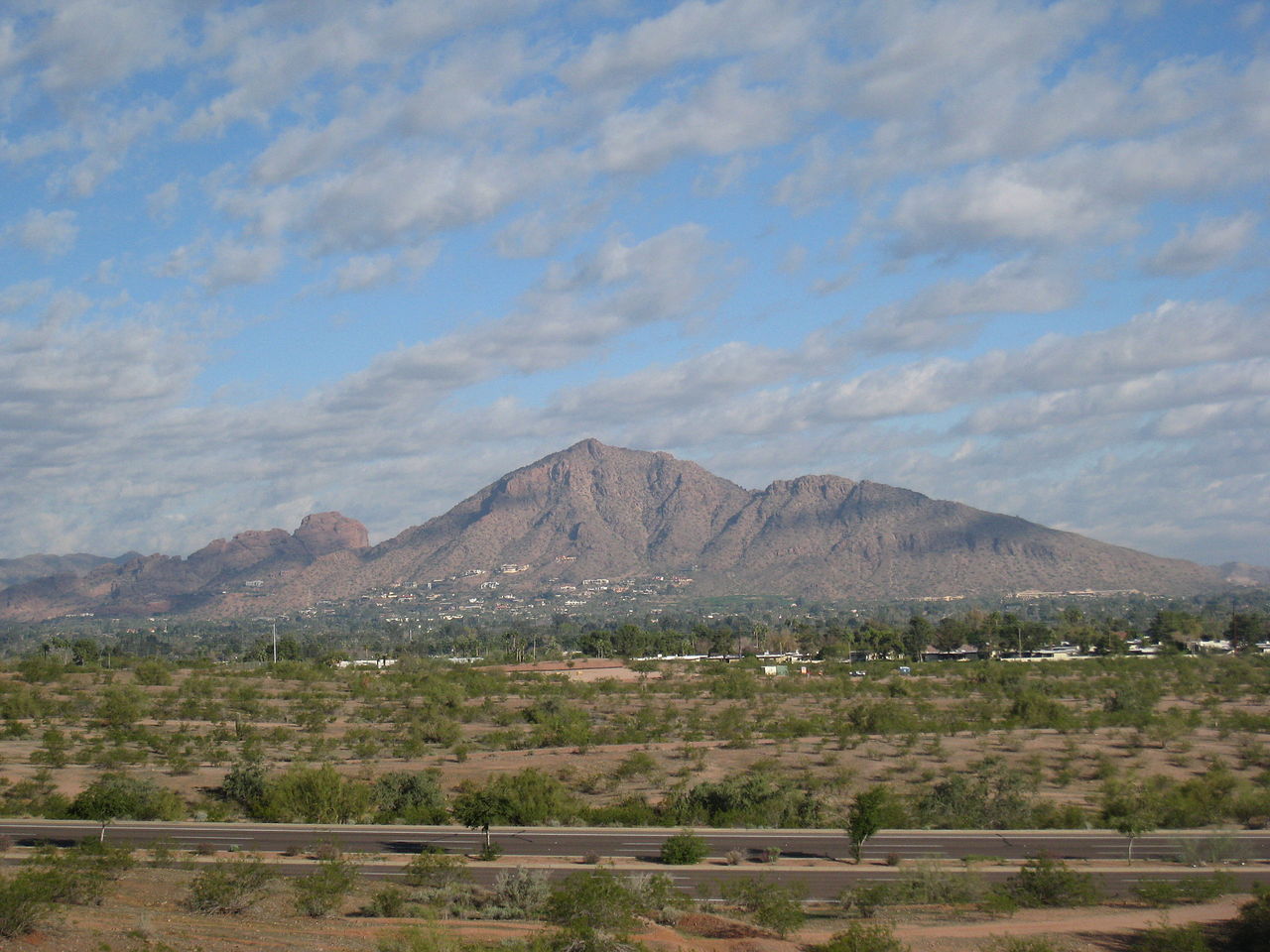 Camelback MountainSummit · ~49 min drivePhoto: Dru Bloomfield from Scottsdale, Arizona, USA, CC BY 2.0 (via Wikimedia Commons)
 Strawberry MountainSummit · ~1h 24m drivePhoto: Cogdog, CC BY-SA 3.0 (via Wikimedia Commons)
 Pass MountainSummit · ~1h 12m drivePhoto: Z Glyph, CC BY 3.0 (via Wikimedia Commons)
- Daisy MountainSummit · ~3 min drive
- Black MountainSummit · ~21 min drive
- Deem HillsSummit · ~21 min drive
- East Wing MountainSummit · ~21 min drive
Best time to visit Gavilan Peak
Best months: November–April. Best months have typical highs of 55–85 °F, lows of 30 °F or warmer (32 °F where the station doesn't record snow), at most one snowy day and no more than 12 wet days.
Jan
65° / 42°
4 wet
Feb
67° / 44°
4 wet
Mar
74° / 48°
4 wet
Apr
82° / 53°
2 wet
May
91° / 61°
1 wet
Jun
101° / 70°
1 wet
Jul
103° / 76°
3 wet
Aug
102° / 76°
5 wet
Sep
97° / 70°
3 wet
Oct
86° / 60°
3 wet
Nov
73° / 49°
3 wet
Dec
64° / 41°
4 wet
Typical high / low (°F) and days with rain or snow, 1991–2020. Measured at Carefree, AZ, 14.3 mi away at 2,530 ft. Source: NOAA NCEI U.S. Climate Normals 1991–2020.
