Loading…

Free — you'll pick up right here.
Watch this trail
Sign up to watch it — saving subscribes you to gate, closure and report changes.
Arizona
1.5 mi
Distance
524 ft
Gain
46 min
Time
We won't guess. Here is exactly what we do and don't know.
What we do know
Inside Coronado National Forest
3 managing-area boundaries mapped — agency alerts for them feed this page automatically.
Boundary data
What's missing
No access route mapped
We don't yet know which road reaches this trailhead, so we can't tell you if it's gated.
Nobody's filed a report here yet — be the first.
Why you'll love it
Fly
AI-suggested draft · review before you go
No permit or access details on file for this trail — check with the local land manager before you go.
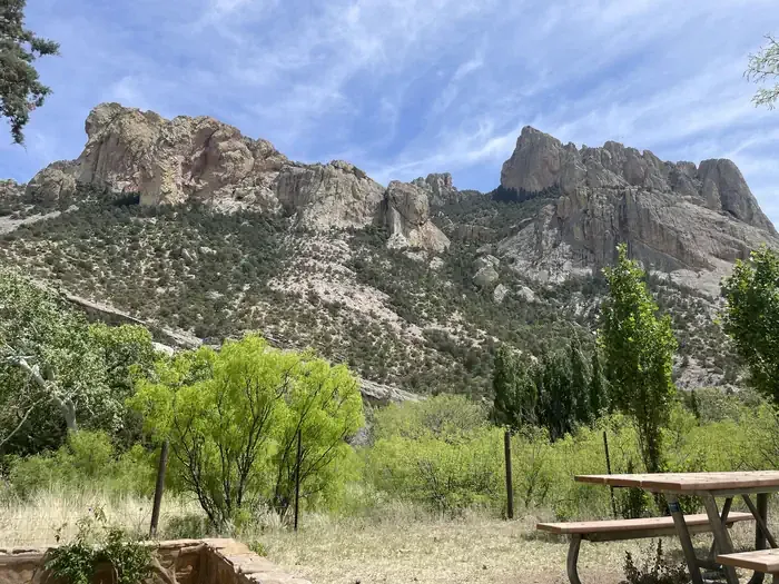
Fly Trail is a 1.5-mile out-and-back hike located in Arizona. The trail features 524 feet of elevation gain, making it a moderate effort for most hikers. The out-and-back format means you'll cover 3 miles total round trip distance. This Arizona trail is suited for hikers looking for a relatively short outing with some elevation change. The gain is concentrated across the route, providing a solid workout in a compact package. The trail's length makes it accessible for those with limited time but seeking a more challenging walk than a leisurely stroll. Being located in Arizona, hikers should prepare for desert conditions typical of the region, including exposure to sun and heat, particularly during warmer months. Adequate water and sun protection are essential considerations before heading out.
Bear Wallow
~1 min drive
1.6 mi · Easy
Green House
~2 min drive
6.5 mi · Hard
Herb Martyr
~5 min drive
5.6 mi · Moderate
Bootlegger Trail #257
~3 min drive
5.3 mi · Easy
Morse Canyon
~5 min drive
8.2 mi · Hard
Rattlesnake
~5 min drive
5.3 mi · Moderate
Ojo Agua Fria
~4 min drive
A 2-mile out-and-back singletrack in Arizona that connects to the Crest Trail and Chiricahua Peak Bypass Trail.
Mormon Canyon
~5 min drive
5.9 mi · Hard
Saulsbury
~6 min drive
10 mi · Moderate
Ash Spring
~5 min drive
2.0 mi · Easy