Barfoot Lookout Trail
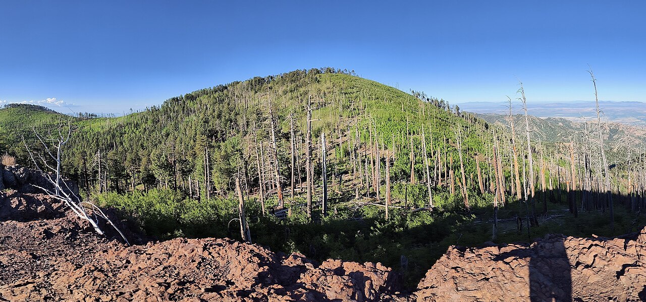
 Photo: treegrow, CC BY 2.0 (via Flickr)
- 0.8 mi
- round trip
- 768 ft
- climb
- 8,747 ft
- high point
- Out and back
- route
Is Barfoot Lookout Trail open right now?
Alert in the area
The Forest Service lists 3 alerts for Coronado National Forest.
Border Barrier Construction Closure
Agency alert covering Coronado National Forest · Order 03-05-00-26-011 · USFS · Coronado National Forest
No Fire Restrictions
Agency alert covering Coronado National Forest · USFS · Coronado National Forest
Barfoot Snake Closure Order 03-05-01-24-004
Agency alert covering Coronado National Forest · USFS · Coronado National Forest
As of · Source: USFS · Coronado National Forest. Agencies don't list every closure — check before you go.
Barfoot Lookout Trail is a short out-and-back hike in Arizona's Coronado National Forest, within the Douglas Ranger District, about 0.8 miles from the Rustler Park campground. It covers roughly 1.6 miles round trip, with an elevation gain of about 768 feet from the trailhead at 8,267 feet to a high point of 8,747 feet. The climb is front-loaded, with the steepest stretch at about 0.36 miles, where the grade reaches 29 percent. That makes the first third of the trail the most challenging part, and it works best for a quick outing rather than a full-day adventure. The estimated time for the round trip is about an hour. The trail is an easy addition to a stay at Rustler Park. Bootlegger Trail #257 lies about 1.1 miles away, and the Bootlegger mountain biking route is about 1.6 miles off. Telephone Line Trail is about 1.9 miles away.
Conditions and forecast on Buena Vista Peak
Daily highs and lows, wind and the chance of precipitation at the summit and route start for the next 7 days, from the Open-Meteo model.
- Rustler ParkCamping0.8 mi
- Bootlegger Trail #257Hiking1.1 mi
- BootleggerMountain biking1.6 mi
- Telephone Line TrailHiking1.9 mi
- RattlesnakeHiking2 mi
- Herb MartyrCamping4.1 mi
- SycamoreCamping5.1 mi
- Sunny FlatCamping6.6 mi
Source: Roamze catalog (indexable pages within 10 miles, PostGIS distance)
 Long Park Trail #42DHiking · ~4 min drivePhoto: Jon Roanhaus, CC BY-SA 4.0 (via Wikimedia Commons)
- Crest Trail #270DHiking · ~9 min drivePhoto: Jon Roanhaus, CC BY-SA 4.0 (via Wikimedia Commons)
- Bootlegger Trail #257Hiking · ~2 min drive
- SaulsburyHiking · ~8 min drive
- CentellaHiking · ~4 min drive
 Mushroom RockHiking · ~10 min drivePhoto: Caddymob at English Wikipedia, CC BY 3.0 (via Wikimedia Commons)
- BasinHiking · ~5 min drive
- FlyHiking · ~4 min drive
- Telephone Line TrailHiking · ~3 min drive
- Turkey PenHiking · ~6 min drive

Route details
- Distance
- 0.8 mi round trip
- Climbing
- About 768 ft
- Summit
- 8,819 ft
- Difficulty
- Easy
- Time
- About 0.5 hours
Questions about this route
How long is the Barfoot Lookout Trail on Buena Vista Peak?
About 0.8 mi round trip.
How much elevation gain is on the Barfoot Lookout Trail?
About 768 ft of climbing round trip.
How hard is the Barfoot Lookout Trail?
It is rated easy.
How long does the Barfoot Lookout Trail take?
About 0.5 hours round trip.
Map and trail data © OpenStreetMap contributors
