Mormon Canyon
- 5.9 mi
- round trip
- 2,521 ft
- climb
- 8,766 ft
- high point
- Out and back
- route
Is Mormon Canyon open right now?
Alert in the area
The Forest Service lists 3 alerts for Coronado National Forest.
Border Barrier Construction Closure
Agency alert covering Coronado National Forest · Order 03-05-00-26-011 · USFS · Coronado National Forest
No Fire Restrictions
Agency alert covering Coronado National Forest · USFS · Coronado National Forest
Barfoot Snake Closure Order 03-05-01-24-004
Agency alert covering Coronado National Forest · USFS · Coronado National Forest
As of · Source: USFS · Coronado National Forest. Agencies don't list every closure — check before you go.
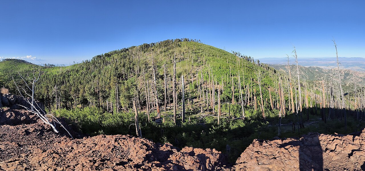
Mormon Canyon is a hard hike in the Douglas Ranger District of Coronado National Forest in Arizona, about 5.9 miles long with a one-way elevation gain of 2,521 feet. The trail starts at the Morse Canyon trailhead, which is open year-round, and it rises from a low point of about 6,245 feet to a high of about 8,766 feet. The route is an out-and-back on natural surface, and it is not accessible. Horses are allowed, but bikes are not. Sycamore campground sits just 0.1 mile away, and the Pole Bridge and Mormon Ridge hikes are within half a mile. For a longer stay, Rustler Park campground is about 4.5 miles off, and Herb Martyr campground is about 6 miles away.
- SycamoreCamping0.1 mi
- Pole BridgeHiking0.3 mi
- Mormon RidgeHiking0.4 mi
- SaulsburyHiking0.5 mi
- Morse CanyonHiking0.8 mi
- Rustler ParkCamping4.5 mi
- Herb MartyrCamping6 mi
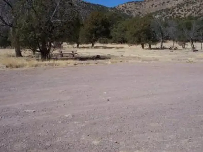 Camp Rucker Group SiteCampingPhoto: Recreation.gov (RIDB) / public domain7.4 mi
Source: Roamze catalog (indexable pages within 10 miles, PostGIS distance)
 Crest Trail #270DHiking · ~5 min drivePhoto: Jon Roanhaus, CC BY-SA 4.0 (via Wikimedia Commons)
- Long Park Trail #42DHiking · ~5 min drivePhoto: Jon Roanhaus, CC BY-SA 4.0 (via Wikimedia Commons)
 Rasberry Ridge Trail #228Hiking · ~9 min drivePhoto: Clay Gilliland, CC BY-SA 2.0 (via Flickr)
- Green HouseHiking · ~5 min drive
- Ojo Agua FriaHiking · ~5 min drive
 Barfoot Lookout TrailHiking · ~9 min drivePhoto: treegrow, CC BY 2.0 (via Flickr)
- SaulsburyHiking · Next door
- Rock Creek Trail #259Hiking · ~6 min drive
- Cottonwood–John Long Trail #353Hiking · ~5 min drive
- Turkey SpurHiking · ~4 min drive