Loading…

Free — you'll pick up right here.
Watch this trail
Sign up to watch it — saving subscribes you to gate, closure and report changes.
Arizona
1.6 mi
Distance
129 ft
Gain
35 min
Time
We won't guess. Here is exactly what we do and don't know.
What we do know
Inside Coronado National Forest
3 managing-area boundaries mapped — agency alerts for them feed this page automatically.
Boundary data
What's missing
No access route mapped
We don't yet know which road reaches this trailhead, so we can't tell you if it's gated.
Nobody's filed a report here yet — be the first.
Why you'll love it
Bear Wallow
AI-suggested draft · review before you go
No permit or access details on file for this trail — check with the local land manager before you go.
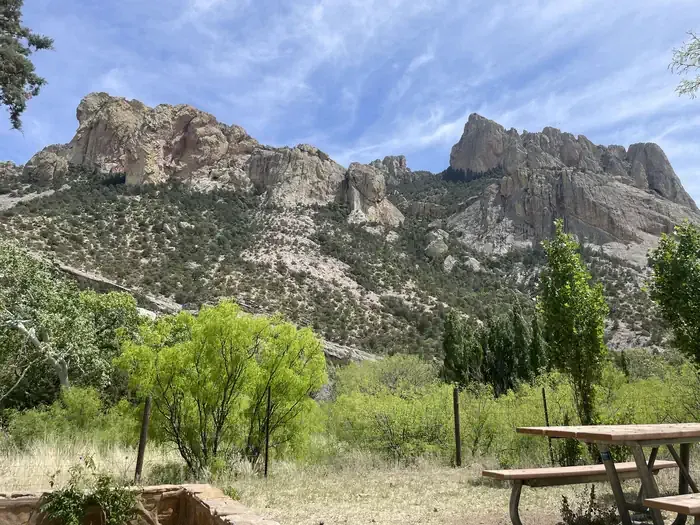
Bear Wallow is a 1.6-mile out-and-back trail located in Arizona. The route features a modest elevation gain of 129 feet, making it accessible for hikers of various experience levels. The trail's relatively short distance and gentle terrain make it suitable for a quick morning or afternoon hike. As an out-and-back trail, hikers will retrace their route on the return journey, allowing for flexibility in how far they want to venture before turning around. The total round-trip distance is approximately 3.2 miles when hiked to the turnaround point and back. The trail's name suggests the presence of natural wildlife viewing opportunities or geological features of interest, though the area's specific attractions and conditions should be confirmed before visiting. Given the minimal elevation change, this trail is well-suited for families, beginners, or anyone seeking a low-impact outdoor experience in the Arizona landscape.
Green House
~1 min drive
6.5 mi · Hard
Fly
~1 min drive
1.5 mi · Easy
Herb Martyr
~5 min drive
5.6 mi · Moderate
Snowshed Trail #246
~4 min drive
17 mi · Hard
Centella
~1 min drive
2.7 mi · Easy
Saulsbury
~5 min drive
10 mi · Moderate
Morse Canyon
~5 min drive
8.2 mi · Hard
Ojo Agua Fria
~3 min drive
A 2-mile out-and-back singletrack in Arizona that connects to the Crest Trail and Chiricahua Peak Bypass Trail.
Rattlesnake
~7 min drive
5.3 mi · Moderate
Mormon Canyon
~5 min drive
5.9 mi · Hard