Winn Falls
- 7,421 ft
- elevation
- Forest Service
- managed by
Is Winn Falls open right now?
Alert in the area
The Forest Service lists 3 alerts for Coronado National Forest.
Border Barrier Construction Closure
Agency alert covering Coronado National Forest · Order 03-05-00-26-011 · USFS · Coronado National Forest
No Fire Restrictions
Agency alert covering Coronado National Forest · USFS · Coronado National Forest
Barfoot Snake Closure Order 03-05-01-24-004
Agency alert covering Coronado National Forest · USFS · Coronado National Forest
As of · Source: USFS · Coronado National Forest. Agencies don't list every closure — check before you go.
Winn Falls is a waterfall in Cochise County, Arizona, set at about 7,421 feet inside the Chiricahua Wilderness. The surrounding land is part of the Douglas Ranger District of Coronado National Forest, managed by the Forest Service, and the nearest town is Rodeo, New Mexico, about 14 miles away. The falls sit close to several other destinations. The Crest and Green House mountain biking routes are each under a mile away, and the Snowshed Peak Trail #364 hike is about 1.5 miles off. For an overnight base, Herb Martyr campground is about 2 miles away.
- Elevation
- 7,421 ft
- Land manager
- Forest Service
Elevation from USGS 3D Elevation Program terrain data (about 10 m resolution).
- CrestMountain biking0.7 mi
- Green HouseMountain biking0.8 mi
- SnowshedMountain biking1.2 mi
- Snowshed Peak Trail #364Hiking1.5 mi
- Herb MartyrCamping2 mi
- Rustler ParkCamping3.6 mi
- SycamoreCamping4.4 mi
- Sunny FlatCamping5.4 mi
Source: Roamze catalog (indexable pages within 10 miles, PostGIS distance)
Also worth it near here
 Crest Trail #270DHiking · ~3 min drivePhoto: Jon Roanhaus, CC BY-SA 4.0 (via Wikimedia Commons)
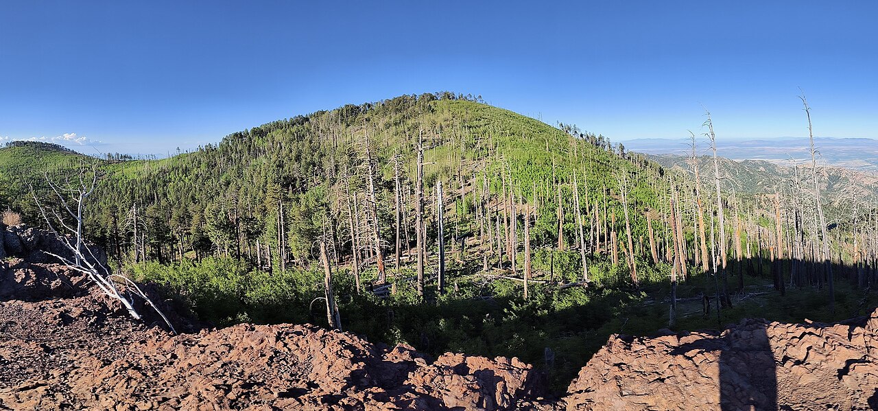 Chiricahua PeakSummit · ~3 min drivePhoto: BubbaJuice, CC0 (via Wikimedia Commons)
 SaulsburyMountain biking · ~6 min drivePhoto: jacobogre, CC BY-SA 4.0 (via Wikimedia Commons)
- The PortalNatural arch · ~9 min drive
