Rock Creek
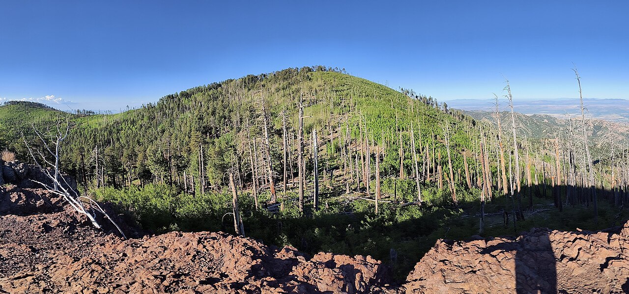
 Photo: jacobogre, CC BY-SA 4.0 (via Wikimedia Commons)
- 6.1 mi
- distance
- 2,264 ft
- climb
Is Rock Creek open right now?
Alert in the area
The Forest Service lists 3 alerts for Coronado National Forest.
Border Barrier Construction Closure
Agency alert covering Coronado National Forest · Order 03-05-00-26-011 · USFS · Coronado National Forest
No Fire Restrictions
Agency alert covering Coronado National Forest · USFS · Coronado National Forest
Barfoot Snake Closure Order 03-05-01-24-004
Agency alert covering Coronado National Forest · USFS · Coronado National Forest
As of · Source: USFS · Coronado National Forest. Agencies don't list every closure — check before you go.
Rock Creek is a mountain biking route in the Douglas Ranger District of Coronado National Forest in Arizona, managed by the Forest Service. The ride covers about 6 miles, rising from roughly 5,900 feet to about 8,200 feet, with a total elevation gain of 2,264 feet. The steepest stretch comes at about 5.4 miles in, where the grade reaches 32 percent. The route starts near Hughes Tank, a hike just 0.1 mile away, and Rock Creek Trail #259 lies about 0.7 mile off. For more riding, Witch Ridge and Turkey Pen are both within about a mile and a half. Sycamore campground is about 3 miles away.
- Hughes TankHiking0.1 mi
- Rock Creek Trail #259Hiking0.7 mi
- Witch RidgeMountain biking1.2 mi
- Turkey PenMountain biking1.4 mi
- SycamoreCamping3 mi
- Rustler ParkCamping5.1 mi
- Herb MartyrCamping7.9 mi
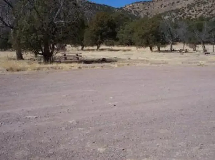 Camp Rucker Group SiteCampingPhoto: Recreation.gov (RIDB) / public domain9.8 mi
Source: Roamze catalog (indexable pages within 10 miles, PostGIS distance)
- SaulsburyMountain biking · ~2 min drivePhoto: jacobogre, CC BY-SA 4.0 (via Wikimedia Commons)
- Hughes TankMountain biking · ~4 min drivePhoto: jacobogre, CC BY-SA 4.0 (via Wikimedia Commons)
- Turkey SpurMountain biking · ~6 min drivePhoto: jacobogre, CC BY-SA 4.0 (via Wikimedia Commons)
- Saulsbury Saddle Trail #263AMountain biking · Next door
- RattlesnakeMountain biking · ~1 min drive
- Saulsbury Trail #263Mountain biking · ~2 min drive
- BootleggerMountain biking · ~2 min drive
- Fitch CorralMountain biking · ~3 min drive
- Turkey PenMountain biking · ~4 min drive
- FlyMountain biking · ~4 min drive

Map and trail data © OpenStreetMap contributors
