

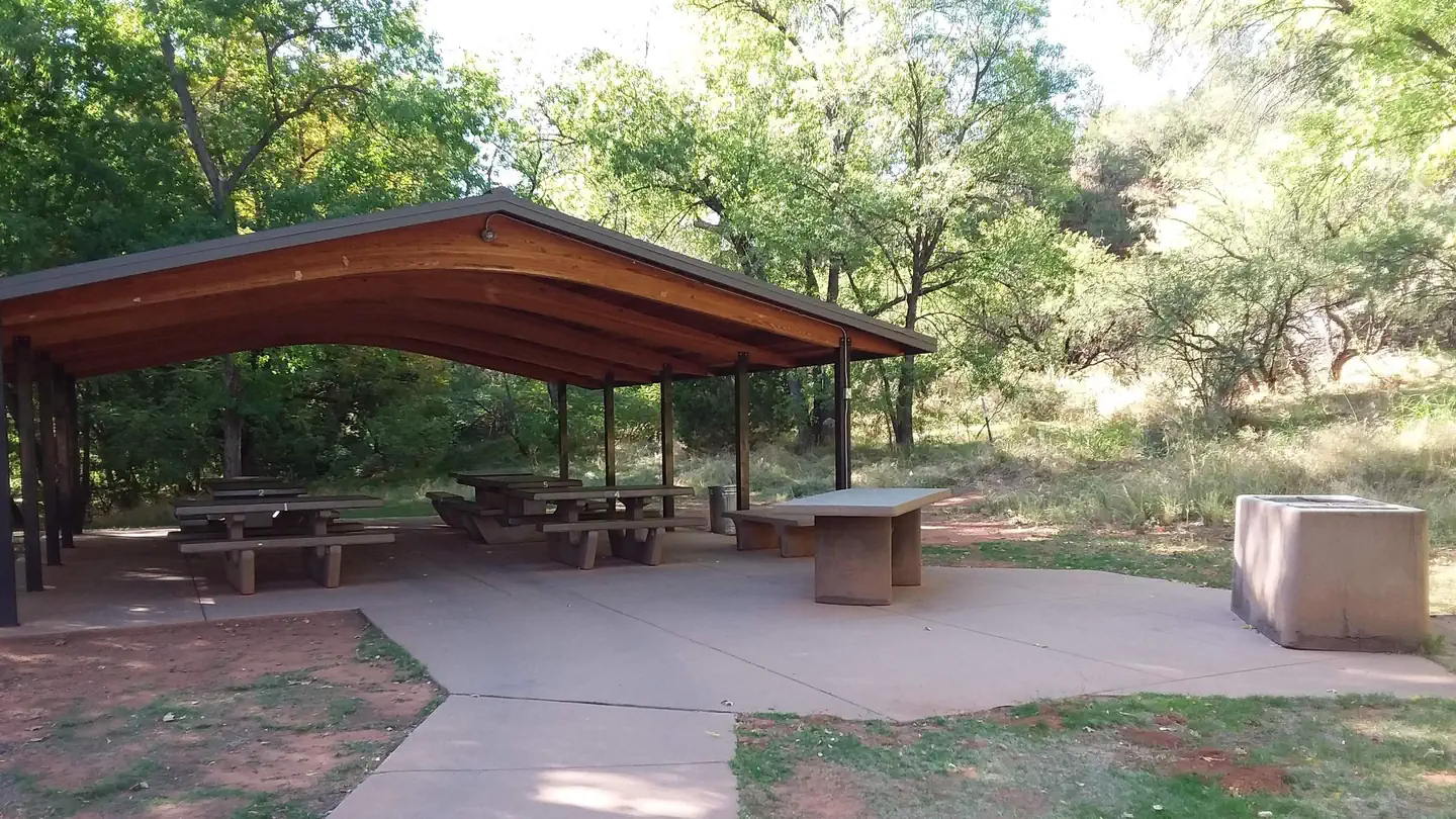
Canyon Outfitters Sedona
Hiking business nearby (~3 mi away) — hasn't claimed their Roamze page yet
Free — you'll pick up right here.
Watch this trail
Sign up to watch it — saving subscribes you to gate, closure and report changes.
Arizona
6.5 mi
Distance
429 ft
Gain
2h 23m
Time
We won't guess. Here is exactly what we do and don't know.
What we do know
Inside Coconino National Forest
2 managing-area boundaries mapped — agency alerts for them feed this page automatically.
Boundary data
What's missing
No access route mapped
We don't yet know which road reaches this trailhead, so we can't tell you if it's gated.
Nobody's filed a report here yet — be the first.
Why you'll love it
Axis
AI-suggested draft · review before you go
No permit or access details on file for this trail — check with the local land manager before you go.
The Axis Trail is a 6.5-mile out-and-back hike located in Arizona. This moderate route features 429 feet of elevation gain, making it accessible for hikers of various skill levels. The trail offers a balanced experience with gradual climbing and descent, ideal for those seeking a half-day adventure without extreme physical demands. The out-and-back format allows hikers to turn back at any point, providing flexibility for different fitness levels and time constraints. This trail is well-suited for morning or afternoon excursions in the Arizona landscape. Whether you're looking for a straightforward workout or a casual nature walk, the Axis Trail delivers a manageable distance with modest elevation change that won't leave you exhausted but will still get your heart rate up.
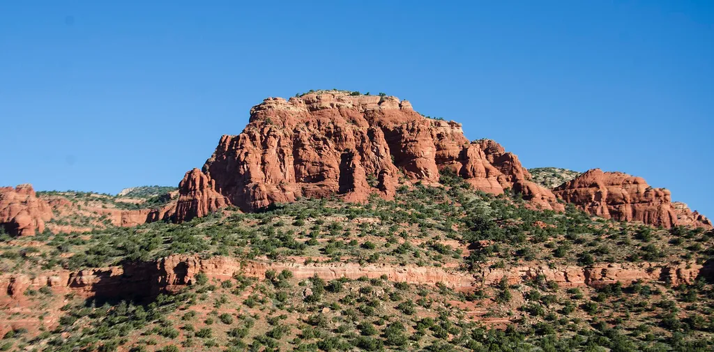
Bear Mountain #54
~2 min drive
4.6 mi · Easy
Cockscomb #167
~1 min drive
7.0 mi · Moderate
Roundabout
~4 min drive
6.1 mi · Hard
Rover
~0 min drive
1.2 mi · Easy
Last Frontier
~3 min drive
5.7 mi · Moderate
Outer Limits
~4 min drive
12 mi · Hard
Aerie #168
~1 min drive
5.6 mi · Easy
Girdner #162
~3 min drive
10 mi · Moderate
Rupp #204
~2 min drive
2.3 mi · Easy
Chuckwagon #196
~3 min drive
10 mi · Moderate
Local operatorsoffering guided trips. You book directly with them — Roamze doesn’t take a cut.
Canyon Outfitters Sedona
Hiking business nearby (~3 mi away) — hasn't claimed their Roamze page yet
Camp Avalon Spiritual Nature Retreat
Hiking business nearby (~5 mi away) — hasn't claimed their Roamze page yet
Rancho Sedona RV Park
Hiking business nearby (~6 mi away) — hasn't claimed their Roamze page yet