Panther Creek
At a glance
Panther Creek is a hard hike in the Cohutta Wilderness, part of the Conasauga Ranger District of the Chattahoochee-Oconee National Forests in north Georgia. The State Department of Natural Resources manages the land, and the nearest town is Oasis, about 5.6 miles away. The trail is an out-and-back that climbs from about 1,900 feet to roughly 3,770 feet, with a total gain of about 4,122 feet. The steepest stretch comes at about 1.8 miles in, where the grade reaches 38 percent. The route is natural-surface and does not allow bikes or horses. For timing, plan on a full day. The climb is steep and long, and the high point sits well above the low point. Nearby, Rough Ridge and Hickory Ridge are both within about 2 miles. The Jacks River offers river fishing about 2.5 miles away, and Jacks River Fields Campground is about 4.6 miles off.
- round trip
- 6.1 mi
- climb
- 4,122 ft
- high point
- 3,769 ft
- route
- Out and back
- time
- About 2.5 hours
Where it is: Cohutta Wilderness · Conasauga Ranger District
Near: Cleveland
Been here? Tell people how it was.
 Tear BritchesHikingPhoto: ChattOconeeNF, CC BY 2.0 (via Flickr)~8 min drive
- Emery Creek TrailHikingPhoto: ChattOconeeNF, CC BY 2.0 (via Flickr)~8 min drive
- Lake ConasaugaHikingPhoto: ChattOconeeNF, CC BY 2.0 (via Flickr)~9 min drive
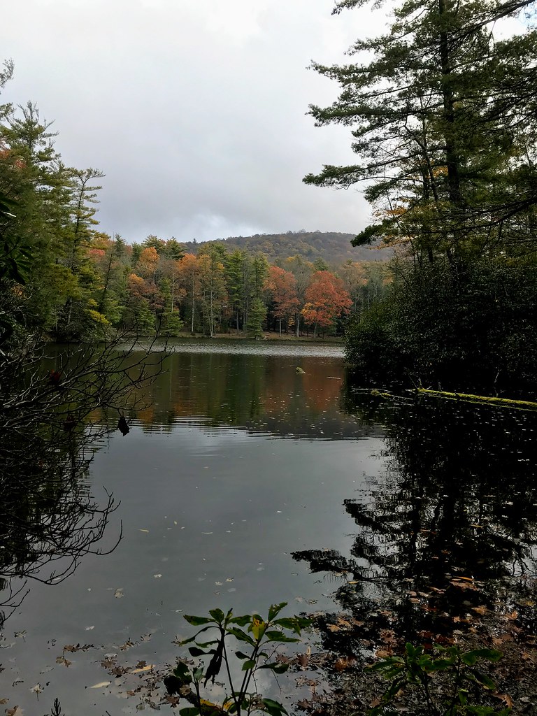 Grassy Mtn TowerHikingPhoto: ChattOconeeNF, CC BY 2.0 (via Flickr)~10 min drive
- Hickory RidgeHiking~3 min drive
- SYLCO LOOPHiking~15 min drive
- SongbirdHikingPhoto: ChattOconeeNF, CC BY 2.0 (via Flickr)~10 min drive
- Chestnut LeadHiking~5 min drive
- Hickory CreekHiking~5 min drive
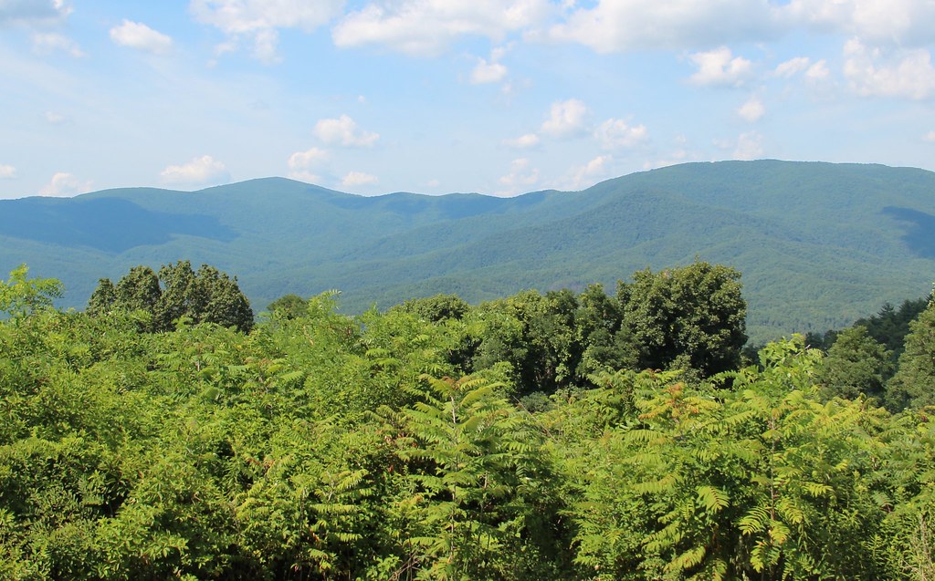 Cohutta OverlookHikingPhoto: Thomson20192, Public Domain Dedication (CC0) (via Flickr)~15 min drive
Conditions and forecast
Caution todayAgency alerts are in effect for this areaUSFS · checked 17 min agoDaily highs and lows, wind and the chance of precipitation at Start for the next 7 days, from the Open-Meteo model.


Ask about this place
Questions about Panther Creek: conditions, access, timing. Answers say when something isn't known.
