Rough Ridge
- 4.6 mi
- round trip
- 1,924 ft
- climb
- 3,803 ft
- high point
- Out and back
- route
Is Rough Ridge open right now?
Closure in the area
There's a closure order in Chattahoochee-Oconee National Forests. It doesn't name Rough Ridge, so check the source for the area it covers (5 listed).
West Cowpen, FS Road 17, Road Maintenance
Agency closure covering Chattahoochee-Oconee National Forests · USFS · Chattahoochee-Oconee National Forests
Bear Creek Road, FS 241, Temporarily Closed
Agency closure covering Chattahoochee-Oconee National Forests · USFS · Chattahoochee-Oconee National Forests
Prescribed fire on Oconee Ranger District at Jasper County
Agency closure covering Chattahoochee-Oconee National Forests · USFS · Chattahoochee-Oconee National Forests
Muskrat Road, FS 218, Temporarily Closed
Agency closure covering Chattahoochee-Oconee National Forests · USFS · Chattahoochee-Oconee National Forests
Flash Flood Awareness
Agency closure covering Chattahoochee-Oconee National Forests · USFS · Chattahoochee-Oconee National Forests
As of · Source: USFS · Chattahoochee-Oconee National Forests. Agencies don't list every closure — check before you go.
Rough Ridge is a moderate out-and-back hike in the Cohutta Wilderness of northern Georgia, set within the Conasauga Ranger District of the Chattahoochee-Oconee National Forests. The State Department of Natural Resources manages the land, and the Cohutta Wildlife Management Area also falls within the area. The route is 9.2 miles long, with a total elevation gain of 1,924 feet. The climb is steady, and the steepest stretch comes at about 3.3 miles, where the grade reaches 16%. The high point is 3,803 feet, and the trail starts at 3,790 feet, so the round trip involves about 1,900 feet of climbing and descending. The hike takes about four hours to complete. Panther Creek and Sugar Cove are both within about a mile and a half, and the Jacks River offers river fishing at a similar distance. For an overnight stay, Jacks River Fields Campground is about 4.6 miles away.
- Panther CreekHiking1.2 mi
- Jacks RiverRiver fishing1.3 mi
- Sugar CoveHiking1.4 mi
- Hickory RidgeHiking1.4 mi
- HemptopHiking2.8 mi
- Jacks River Fields CampgroundCamping4.6 mi
- Cottonwood Patch CampgroundCamping6 mi
- Big Frog AreaRiver fishing9.6 mi
Source: Roamze catalog (indexable pages within 10 miles, PostGIS distance)
 Tear BritchesHiking · ~10 min drivePhoto: ChattOconeeNF, CC BY 2.0 (via Flickr)
- Lake ConasaugaHiking · ~11 min drivePhoto: ChattOconeeNF, CC BY 2.0 (via Flickr)
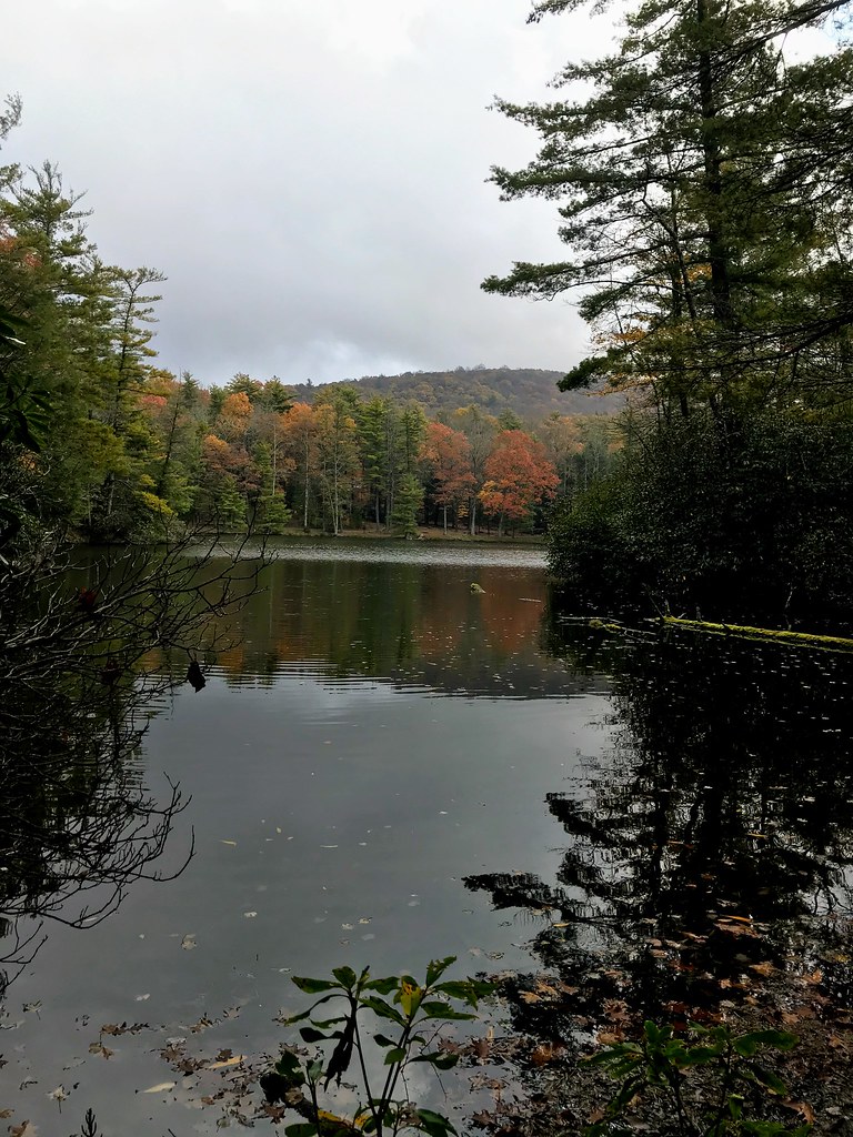 Grassy Mtn TowerHiking · ~12 min drivePhoto: ChattOconeeNF, CC BY 2.0 (via Flickr)
- Emery Creek TrailHiking · ~10 min drivePhoto: ChattOconeeNF, CC BY 2.0 (via Flickr)
- Panther CreekHiking · ~2 min drive
- SongbirdHiking · ~12 min drivePhoto: ChattOconeeNF, CC BY 2.0 (via Flickr)
- Sugar CoveHiking · ~2 min drive
- SYLCO LOOPHiking · ~14 min drive
- Hickory RidgeHiking · ~2 min drive
- Murrays LakeHiking · ~10 min drive


Map and trail data © OpenStreetMap contributors
