Bald Mountain
 Photo: Thomson M, CC BY 3.0 (via Wikimedia Commons)
- 4,004 ft
- summit
- 1
- way up
Is Bald Mountain open right now?
Closure in the area
There's a closure order in Chattahoochee-Oconee National Forests. It doesn't name Bald Mountain, so check the source for the area it covers (5 listed).
West Cowpen, FS Road 17, Road Maintenance
Agency closure covering Chattahoochee-Oconee National Forests · USFS · Chattahoochee-Oconee National Forests
Bear Creek Road, FS 241, Temporarily Closed
Agency closure covering Chattahoochee-Oconee National Forests · USFS · Chattahoochee-Oconee National Forests
Prescribed fire on Oconee Ranger District at Jasper County
Agency closure covering Chattahoochee-Oconee National Forests · USFS · Chattahoochee-Oconee National Forests
Muskrat Road, FS 218, Temporarily Closed
Agency closure covering Chattahoochee-Oconee National Forests · USFS · Chattahoochee-Oconee National Forests
Flash Flood Awareness
Agency closure covering Chattahoochee-Oconee National Forests · USFS · Chattahoochee-Oconee National Forests
As of · Source: USFS · Chattahoochee-Oconee National Forests. Agencies don't list every closure — check before you go.
Bald Mountain is a summit in the Cohutta Wilderness, part of the Conasauga Ranger District of the Chattahoochee-Oconee National Forests in north Georgia. The nearest town is Eton, about 8 miles away. Several trails sit close by. Tear Britches is half a mile off, Emery Creek Trail is about 0.6 miles away, and Lake Conasauga is roughly 1.5 miles away. For an overnight base, Jacks River Fields Campground lies about 6 miles from the summit.
Conditions and forecast
Daily highs and lows, wind and the chance of precipitation at the summit and route start for the next 7 days, from the Open-Meteo model.
- Summit elevation
- 4,004 ft
Elevation from USGS 3D Elevation Program terrain data (about 10 m resolution).
Map © Mapbox © OpenStreetMap contributors Questions about Bald Mountain
How tall is Bald Mountain?
4,004 ft (1,220 m).
How many routes go to the summit of Bald Mountain?
One: Tear Britches.
When is the best time to climb Bald Mountain?
Year-round.
 Grassy Mountain3,693 ft · Georgia1 route2.4 mi awayPhoto: Thomson200, CC0 (via Wikimedia Commons)
- Fort Mountain2,851 ft · Georgia2 routes7.3 mi away
- Hemp Top3,576 ft · Georgia1 route9.6 mi away
- Chestnut Mountain3,027 ft · Tennessee2 routes11 mi away
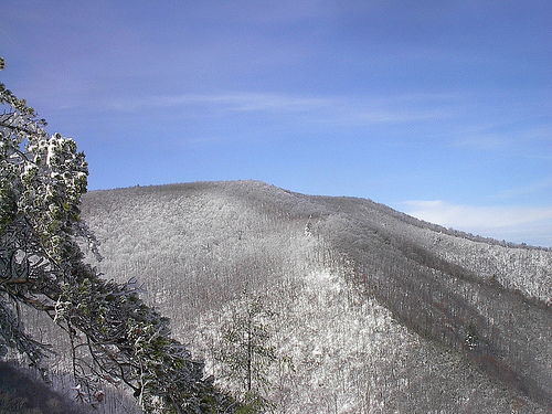 Big Frog Mountain4,219 ft · Tennessee1 route11 mi awayPhoto: Kevin Eldon, CC BY 2.0 (via Wikimedia Commons)
- Bearpen Hill2,646 ft · Tennessee1 route11 mi away
 Tear BritchesHikingPhoto: ChattOconeeNF, CC BY 2.0 (via Flickr)0.5 mi
- Emery Creek TrailHikingPhoto: ChattOconeeNF, CC BY 2.0 (via Flickr)0.6 mi
- Lake ConasaugaHikingPhoto: ChattOconeeNF, CC BY 2.0 (via Flickr)1.5 mi
- Conasauga River TrailHiking1.6 mi
- Jacks River Fields CampgroundCamping6.1 mi
- Jacks RiverRiver fishing6.5 mi
- Cottonwood Patch CampgroundCamping8 mi
- Conasauga CreekCanoeing8.1 mi
Source: Roamze catalog (indexable pages within 10 miles, PostGIS distance)
- Grassy MountainSummit · ~4 min drivePhoto: Thomson200, CC0 (via Wikimedia Commons)
- Big Frog MountainSummit · ~19 min drivePhoto: Kevin Eldon, CC BY 2.0 (via Wikimedia Commons)
 Talona MountainSummit · ~31 min drivePhoto: Thomson20192, CC0 (via Wikimedia Commons)
 Sharptop MountainSummit · ~49 min drivePhoto: Thomson M, CC BY 3.0 (via Wikimedia Commons)
 Springer MountainSummit · ~51 min drivePhoto: Mark Larson, CC BY-SA 2.0 (via Wikimedia Commons)
 Sharp MountainSummit · ~52 min drivePhoto: Thomson200, CC0 (via Wikimedia Commons)
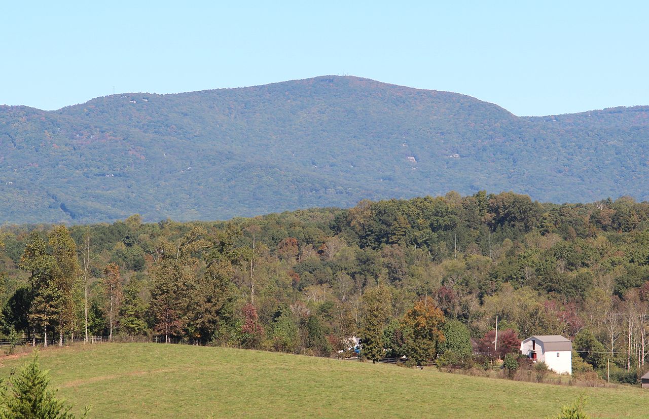 Mount OglethorpeSummit · ~53 min drivePhoto: Thomson200, CC0 (via Wikimedia Commons)
 Baugh MountainSummit · ~54 min drivePhoto: Thomson200, CC0 (via Wikimedia Commons)
 Pine Log MountainSummit · ~1h 4m drivePhoto: Thomson200, CC0 (via Wikimedia Commons)
 Bear MountainSummit · ~1h 5m drivePhoto: Thomson200, CC0 (via Wikimedia Commons)

