Emery Creek Trail
 Photo: ChattOconeeNF, CC BY 2.0 (via Flickr)
- 6.0 mi
- round trip
- 5,784 ft
- climb
- 3,641 ft
- high point
- Out and back
- route
Is Emery Creek Trail open right now?
Closure in the area
There's a closure order in Chattahoochee-Oconee National Forests. It doesn't name Emery Creek Trail, so check the source for the area it covers (4 listed).
Road Maintenance: West Cowpen Road (FSR 17)
Agency closure covering Chattahoochee-Oconee National Forests · USFS · Chattahoochee-Oconee National Forests
Prescribed fire on Oconee Ranger District at Jasper County
Agency closure covering Chattahoochee-Oconee National Forests · USFS · Chattahoochee-Oconee National Forests
Muskrat Road, FS 218, Temporarily Closed
Agency closure covering Chattahoochee-Oconee National Forests · USFS · Chattahoochee-Oconee National Forests
Flash Flood Awareness
Agency closure covering Chattahoochee-Oconee National Forests · USFS · Chattahoochee-Oconee National Forests
Lake Winfield Scott closed except fishing pier
Agency alert covering Chattahoochee-Oconee National Forests · USFS · Chattahoochee-Oconee National Forests
As of · Source: USFS · Chattahoochee-Oconee National Forests. Agencies don't list every closure — check before you go.
Emery Creek Trail is a 12-mile out-and-back hike in the Cohutta Wildlife Management Area, part of the Conasauga Ranger District of the Chattahoochee-Oconee National Forests in north Georgia. The State Department of Natural Resources manages the land, and the route rises from about 980 feet to a high point of 3,641 feet, with a total elevation gain of 5,784 feet over the round trip. The climb is steep, with the steepest stretch at about a mile in, where the grade reaches 29 percent. The trail is rated expert, and the trip is estimated to take about seven hours. Tear Britches lies just 0.1 mile away, and Lake Conasauga and Songbird are both within about a mile and a quarter. For an overnight stay, Jacks River Fields Campground is about 6.6 miles off.
Keep exploring — more trails worth the drive
Photo: ChattOconeeNF, CC BY 2.0 (via Flickr)Tear Britches
Next door
6.44-mile out-and-back trail in Georgia with 473 ft gain and 2,161 ft loss.
Photo: ChattOconeeNF, CC BY 2.0 (via Flickr)Lake Conasauga
~2 min drive
0.99-mile loop trail around Lake Conasauga in Georgia.
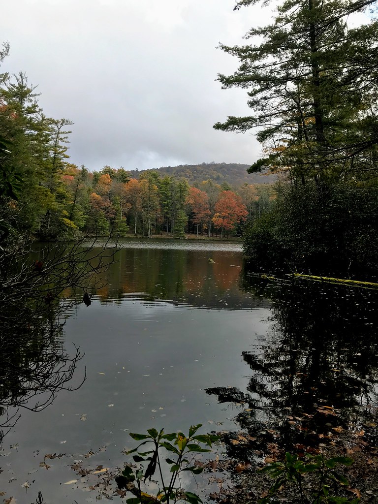 Photo: ChattOconeeNF, CC BY 2.0 (via Flickr)
Grassy Mtn Tower
~3 min drive
3.90-mile out-and-back trail to Grassy Mtn Tower in Georgia, 283 ft gain.
HIKE
Conasauga River Trail
~4 min drive
5.13-mile out-and-back hike along the Conasauga River in Georgia.
Photo: ChattOconeeNF, CC BY 2.0 (via Flickr)Songbird
~2 min drive
2.74-mile out-and-back trail in Georgia with 389 ft gain
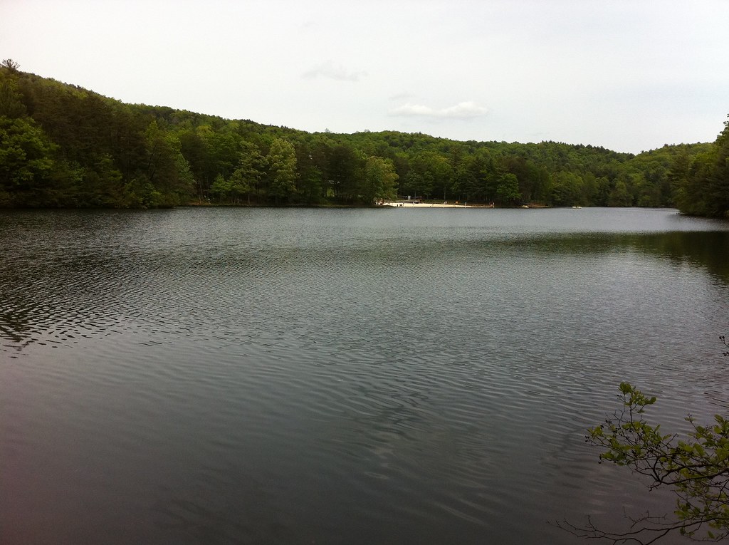 Photo: TranceMist, CC BY 2.0 (via Flickr)
Gahuti
~14 min drive
7.87-mile loop in Georgia with 1,614 ft gain
HIKE
Milma Creek
~5 min drive
7.34-mile out-and-back trail in Georgia with 2,636 ft elevation gain and loss.
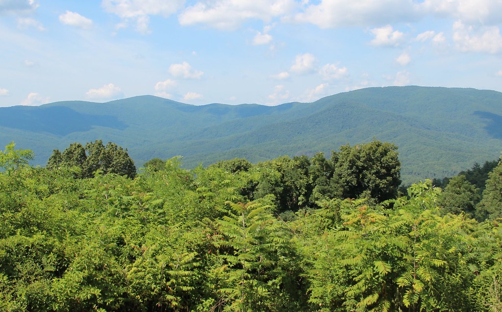 Photo: Thomson20192, Public Domain Dedication (CC0) (via Flickr)
Cohutta Overlook
~9 min drive
0.09-mile lollipop trail with 49 ft gain at Cohutta Overlook in Georgia
HIKE
Bear Creek Spur
~6 min drive
3.34-mile out-and-back trail in Georgia with 1,435 ft gain/loss
HIKE
Hickory Creek
~5 min drive
Hickory Creek is a 17.18-mile out-and-back trail in Georgia with 1,824 feet of elevation gain.


Map and trail data © OpenStreetMap contributors
