Sugar Cove
- 2.1 mi
- round trip
- 2,316 ft
- climb
- 3,580 ft
- high point
- Out and back
- route
- Mar–May, Aug–Nov
- best months
Is Sugar Cove open right now?
Closure in the area
There's a closure order in Chattahoochee-Oconee National Forests. It doesn't name Sugar Cove, so check the source for the area it covers (4 listed).
Road Maintenance: West Cowpen Road (FSR 17)
Agency closure covering Chattahoochee-Oconee National Forests · USFS · Chattahoochee-Oconee National Forests
Prescribed fire on Oconee Ranger District at Jasper County
Agency closure covering Chattahoochee-Oconee National Forests · USFS · Chattahoochee-Oconee National Forests
Muskrat Road, FS 218, Temporarily Closed
Agency closure covering Chattahoochee-Oconee National Forests · USFS · Chattahoochee-Oconee National Forests
Flash Flood Awareness
Agency closure covering Chattahoochee-Oconee National Forests · USFS · Chattahoochee-Oconee National Forests
Lake Winfield Scott closed except fishing pier
Agency alert covering Chattahoochee-Oconee National Forests · USFS · Chattahoochee-Oconee National Forests
As of · Source: USFS · Chattahoochee-Oconee National Forests. Agencies don't list every closure — check before you go.
Sugar Cove is a moderate out-and-back hike in the Cohutta Wilderness, part of the Chattahoochee-Oconee National Forests in north Georgia. The route starts at about 2,059 feet and climbs to a high point of 3,580 feet, with a total elevation gain of 2,316 feet over the course of the 4.2-mile round trip. The steepest stretch comes at about 1.9 miles in, where the grade reaches 30 percent. The trail lies within the Cohutta Wilderness and the Conasauga Ranger District, and it also passes through the Cohutta Wildlife Management Area. The State Department of Natural Resources manages the land. For comfortable weather, aim for late spring or early fall. Typical averages from a nearby weather station in Blairsville show May highs around 76°F and October highs around 70°F, though that station sits well below the trail, so temperatures on the ridge run cooler. The Jacks River, a fishing spot, is just 0.2 miles away, and the Rough Ridge and Hemptop hikes are within about 2 miles. For an overnight stay, Jacks River Fields Campground is about 5 miles off.
Best time to go · Mar–May, Aug–Nov
Best time to visit Sugar Cove
Best months: March–May and August–November. Best months have typical highs of 55–85 °F, lows of 30 °F or warmer (32 °F where the station doesn't record snow), at most one snowy day and no more than 12 wet days.
Jan
49° / 25°
12 wet
Feb
53° / 28°
12 wet
Mar
60° / 34°
12 wet
Apr
69° / 41°
11 wet
May
76° / 50°
12 wet
Jun
82° / 58°
13 wet
Jul
85° / 62°
13 wet
Aug
84° / 61°
12 wet
Sep
80° / 55°
9 wet
Oct
70° / 43°
10 wet
Nov
61° / 33°
10 wet
Dec
52° / 29°
12 wet
Typical high / low (°F) and days with rain or snow, 1991–2020. Measured at Blairsville Exp Stn, GA, 34.7 mi away at 1,949 ft. The station sits about 1,600 ft lower than this place, so expect it a little cooler here. This station doesn't record snowfall. Source: NOAA NCEI U.S. Climate Normals 1991–2020.
Closures we've recorded since August 2026
Spring 2026 Forest-wide Fire Restrictions
Chattahoochee-Oconee National Forests · Order dated April 23, 2026; seen Aug 23, 2026 → lifted Oct 13, 2026 · Forest Service
Keep exploring — more trails worth the drive
 Photo: ChattOconeeNF, CC BY 2.0 (via Flickr)
Tear Britches
~12 min drive
6.44-mile out-and-back trail in Georgia with 473 ft gain and 2,161 ft loss.
Photo: ChattOconeeNF, CC BY 2.0 (via Flickr)Emery Creek Trail
~12 min drive
6.01-mile out-and-back trail in Georgia with 468 ft gain and 3,069 ft loss.
Photo: ChattOconeeNF, CC BY 2.0 (via Flickr)Lake Conasauga
~14 min drive
0.99-mile loop trail around Lake Conasauga in Georgia.
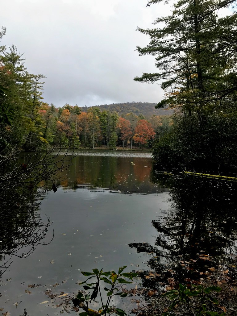 Photo: ChattOconeeNF, CC BY 2.0 (via Flickr)
Grassy Mtn Tower
~15 min drive
3.90-mile out-and-back trail to Grassy Mtn Tower in Georgia, 283 ft gain.
HIKE
Hemptop
~3 min drive
9.64-mile out-and-back trail in Georgia with 1,711 ft elevation gain
HIKE
SYLCO LOOP
~13 min drive
23.02-mile out-and-back trail in Tennessee with 3,605 ft elevation gain
Photo: ChattOconeeNF, CC BY 2.0 (via Flickr)Songbird
~14 min drive
2.74-mile out-and-back trail in Georgia with 389 ft gain
HIKE
Rough Ridge
~2 min drive
4.76-mile out-and-back trail in Georgia with 444 ft elevation gain.
HIKE
Penitentiary Branch
~3 min drive
6.76-mile out-and-back trail in Georgia with 726 ft gain and 2,017 ft loss.
HIKE
Licklog Ridge
~13 min drive
5.16-mile out-and-back trail in Tennessee with 6,517 ft elevation gain.

Map and trail data © OpenStreetMap contributors
