Ainsworth Campground
Campground
Campground · 4.2 mi from the trail
Closure in the area
There's a closure order in Columbia River Gorge National Scenic Area. It doesn't name Devils Rest, so check the source for the area it covers.
Eagle Creek Area and Trail Closure
Agency closure covering Columbia River Gorge National Scenic Area · Order 06-22-01-26-04 · USFS · Columbia River Gorge National Scenic Area
Eagle Creek Fire Area Closure - CRGNSA and Mt. Hood
Agency alert covering Columbia River Gorge National Scenic Area · Order 06-22-01-26-04 · USFS · Columbia River Gorge National Scenic Area
As of · Source: USFS · Columbia River Gorge National Scenic Area. Agencies don't list every closure — check before you go.
Devils Rest is a summit in Oregon within the Columbia River Gorge National Scenic Area. The nearest town is North Bonneville, Washington, about 9 miles away across the state line. The closest trails are Devil's, about 0.2 miles away, and Primrose Path and Lily's Lane, each about 0.4 miles off. Rat Cave, a climbing area roughly a mile away, rounds out the nearby options.
Ainsworth Campground
Campground
 If it rainsIan Poellet, CC BY-SA 4.0 · Wikimedia Commons
Places © OpenStreetMap contributors · Photos: Ian Poellet, CC BY-SA 4.0 (commons)
More in Mount Hood VillagesDaily highs and lows, wind and the chance of precipitation at the summit and route start for the next 7 days, from the Open-Meteo model.
Elevation from USGS 3D Elevation Program terrain data (about 10 m resolution).
| Devils Rest | Primrose Path | Red Shorts Cut Route | |
|---|---|---|---|
| Climbing | About 1,264 ft | About 882 ft | About 593 ft |
| Round trip | 3.2 mi | 1.2 mi | 1.6 mi |
| Difficulty | Moderate | Easy | Easy |
| Terrain | Hike | Hike | Hike |
2,431 ft (741 m).
3: Devils Rest, Primrose Path and Red Shorts Cut Route.
Primrose Path, about 1.2 mi round trip.
 Devil'sHikingPhoto: inkknife_2000 (7.5 million views +), CC BY-SA 2.0 (via Wikimedia Commons)0.2 miPrimrose PathHikingPhoto: inkknife_2000 (7.5 million views +), CC BY-SA 2.0 (via Wikimedia Commons)0.4 mi
 Lily's LaneHikingPhoto: BFS Man from Webster, TX, USA, CC BY 2.0 (via Wikimedia Commons)0.4 mi
Source: Roamze catalog (indexable pages within 10 miles, PostGIS distance)
 Chanticleer PointSummit · ~12 min drivePhoto: Unknown authorUnknown author or not provided, Public domain (via Wikimedia Commons)
 Greenleaf PeakSummit · ~22 min drivePhoto: Walter Siegmund (talk), CC BY-SA 3.0 (via Wikimedia Commons)
 Powell ButteSummit · ~33 min drivePhoto: Ennetws, Public domain (via Wikimedia Commons)
 Zigzag MountainSummit · ~35 min drivePhoto: U.S. Forest Service- Pacific Northwest Region, Public domain (via Wikimedia Commons)
 Mount DefianceSummit · ~35 min drivePhoto: Mehmet Emre Yavuz Meyavuz, CC BY-SA 3.0 (via Wikimedia Commons)
 Rocky ButteSummit · ~36 min drivePhoto: Lyn Topinka of USGS, Public domain (via Wikimedia Commons)
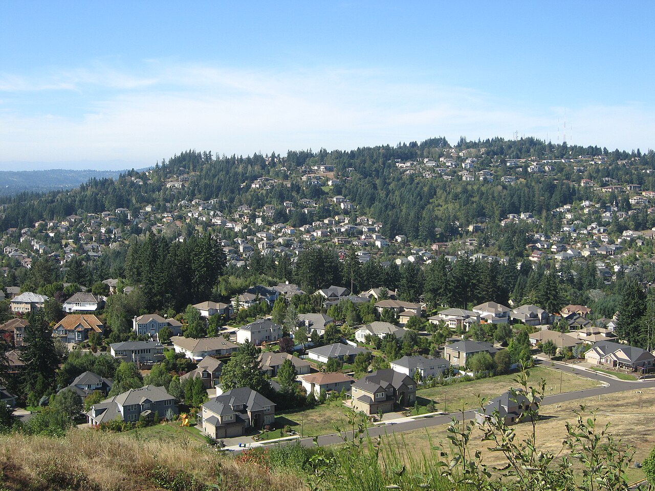 Mount ScottSummit · ~37 min drivePhoto: Esprqii, CC BY-SA 3.0 (via Wikimedia Commons)
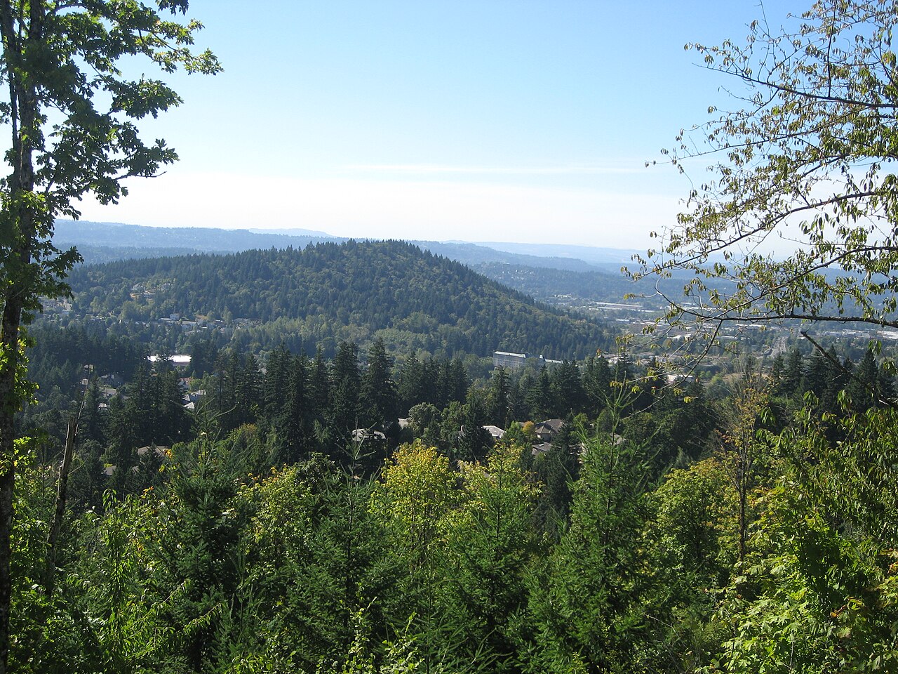 Mount TalbertSummit · ~39 min drivePhoto: Esprqii, CC BY-SA 3.0 (via Wikimedia Commons)
 Table MountainSummit · ~20 min drivePhoto: Walter Siegmund (talk), CC BY-SA 3.0 (via Wikimedia Commons)
Also worth it near here
Devil'sHiking · Next doorPhoto: inkknife_2000 (7.5 million views +), CC BY-SA 2.0 (via Wikimedia Commons)Vista PointMountain biking · ~1 min drivePhoto: BFS Man from Webster, TX, USA, CC BY 2.0 (via Wikimedia Commons) Wahkeena FallsWaterfall · ~1 min drivePhoto: Wahkeenah at English Wikipedia, Public domain (via Wikimedia Commons)
