Greenleaf Peak
 Photo: Walter Siegmund (talk), CC BY-SA 3.0 (via Wikimedia Commons)
- 3,422 ft
- summit
- State Department of Natural Resources
- managed by
Is Greenleaf Peak open right now?
Closure in the area
There's a closure order in Columbia River Gorge National Scenic Area. It doesn't name Greenleaf Peak, so check the source for the area it covers.
Eagle Creek Area and Trail Closure
Agency closure covering Columbia River Gorge National Scenic Area · Order 06-22-01-26-04 · USFS · Columbia River Gorge National Scenic Area
Eagle Creek Fire Area Closure - CRGNSA and Mt. Hood
Agency alert covering Columbia River Gorge National Scenic Area · Order 06-22-01-26-04 · USFS · Columbia River Gorge National Scenic Area
As of · Source: USFS · Columbia River Gorge National Scenic Area. Agencies don't list every closure — check before you go.
Greenleaf Peak is a summit of about 3,422 feet in Skamania County, Washington, within the Columbia River Gorge National Scenic Area. It sits inside the Table Mountain/Greenleaf Peak Natural Resources Conservation Area, managed by the State Department of Natural Resources, and the nearest town is Stevenson, about 3.7 miles away. The peak makes a natural anchor for exploring the surrounding trails and climbing areas. The North Table Mountain Trail and Table Mountain Trail both lie about 1.7 miles away, and the Dome climbing area is about 2.5 miles off. Paddlers can head to Rock Creek, also about 2.5 miles away.
Conditions and forecast
Daily highs and lows, wind and the chance of precipitation at the summit for the next 7 days, from the Open-Meteo model.
- Summit elevation
- 3,422 ft
- Land manager
- State Department of Natural Resources
Elevation from USGS 3D Elevation Program terrain data (about 10 m resolution).
We don't know of a mapped trail or route to the summit of Greenleaf Peak. Plan the approach with local maps, a guidebook or a local guide, and check conditions before you go.
Questions about Greenleaf Peak
How tall is Greenleaf Peak?
3,422 ft (1,043 m).
Is there a trail to the top of Greenleaf Peak?
We don't know of a mapped trail or route to the summit. Plan the approach with local maps, a guidebook or a local guide.
 Table Mountain3,416 ft · Washington4 routes1.7 mi awayPhoto: Walter Siegmund (talk), CC BY-SA 3.0 (via Wikimedia Commons)
- Aldrich Butte1,139 ft · Washington1 route4.2 mi away
- Hamilton Mountain2,410 ft · Washington1 route4.7 mi away
- Green Knob3,100 ft · Washington1 route5.2 mi away
- Bunker Hill2,392 ft · Washington1 route7.3 mi away
- Archer Mountain2,033 ft · Washington2 routes9.1 mi away
 North Table Mountain TrailHikingPhoto: Ryan Snyder, CC BY 2.0 (via Wikimedia Commons)1.7 mi
- Table Mountain TrailHikingPhoto: Ryan Snyder, CC BY 2.0 (via Wikimedia Commons)1.7 mi
- The DomeRock climbing2.5 mi
- Rock CreekCanoeing2.5 mi
- Spring CreekCanoeing2.6 mi
- Bridge of the Gods BouldersRock climbing3.3 mi
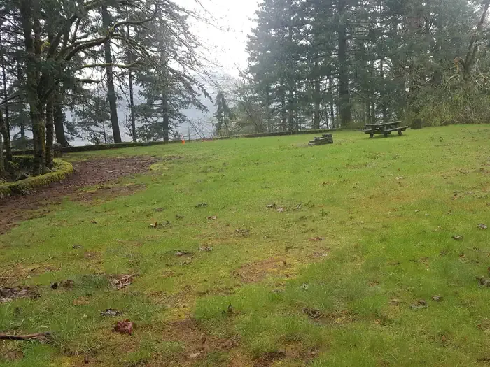 Eagle Creek Overlook Grp SiteCampingPhoto: Recreation.gov (RIDB) / public domain5.3 mi
- Eagle Creek OverlookCamping5.3 mi
Source: Roamze catalog (indexable pages within 10 miles, PostGIS distance)
 Mount DefianceSummit · ~22 min drivePhoto: Mehmet Emre Yavuz Meyavuz, CC BY-SA 3.0 (via Wikimedia Commons)
 Chanticleer PointSummit · ~32 min drivePhoto: Unknown authorUnknown author or not provided, Public domain (via Wikimedia Commons)
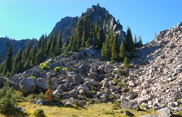 Lemei RockSummit · ~40 min drivePhoto: FizzyUnicorn, CC BY-SA 3.0 (via Wikimedia Commons)
- Table MountainSummit · ~3 min drivePhoto: Walter Siegmund (talk), CC BY-SA 3.0 (via Wikimedia Commons)
 Tumtum MountainSummit · ~40 min drivePhoto: Seattle Skier, CC BY-SA 4.0 (via Wikimedia Commons)
- Green KnobSummit · ~9 min drive
- Bunker HillSummit · ~13 min drive
- Archer MountainSummit · ~16 min drive
- Tanner ButteSummit · ~18 min drive
- Tomlike MountainSummit · ~19 min drive
