Powell Butte
 Photo: Ennetws, Public domain (via Wikimedia Commons)
- 632 ft
- summit
- 3
- ways up
- Jun–Sep
- best months
Powell Butte is a summit in Oregon, about 3 miles from Gresham. It sits at 632 feet, and its low elevation makes it an easy addition to a day spent exploring the trails and climbing areas close by. Summer is the most comfortable time to visit. Typical averages from a nearby weather station in Portland show July and August highs around 82°F with only about four wet days a month, while winter months bring highs in the mid-40s and rain on roughly 20 days. The Hawthorn Trail and the Orchard Trail both start about 0.1 mile away, and the Forest Edge Trail is about 0.3 mile off. For climbing, m. Joseph Wood Hill Park is about 5 miles away.
Conditions and forecast
Daily highs and lows, wind and the chance of precipitation at the summit and route start for the next 7 days, from the Open-Meteo model.
- Summit elevation
- 632 ft
Elevation from USGS 3D Elevation Program terrain data (about 10 m resolution).
- Wildhorse TrailEasyabout 212 ft of climbing1.0 mi round trip
- Douglas Fir TrailEasyabout 275 ft of climbing1.2 mi round trip
- Hawthorn TrailEasyabout 401 ft of climbing1.6 mi round trip
Compare the routes Wildhorse Trail Douglas Fir Trail Hawthorn Trail Climbing About 212 ft About 275 ft About 401 ft Round trip 1.0 mi 1.2 mi 1.6 mi Difficulty Easy Easy Easy Terrain Hike Hike Hike Map © Mapbox © OpenStreetMap contributors Questions about Powell Butte
How tall is Powell Butte?
632 ft (193 m).
How many routes go to the summit of Powell Butte?
3: Wildhorse Trail, Douglas Fir Trail and Hawthorn Trail.
What is the shortest route up Powell Butte?
Wildhorse Trail, about 1.0 mi round trip.
- Jenne Butte617 ft · Oregon1 route1.2 mi away
- Scouters Mountain944 ft · Oregon1 route2.9 mi away
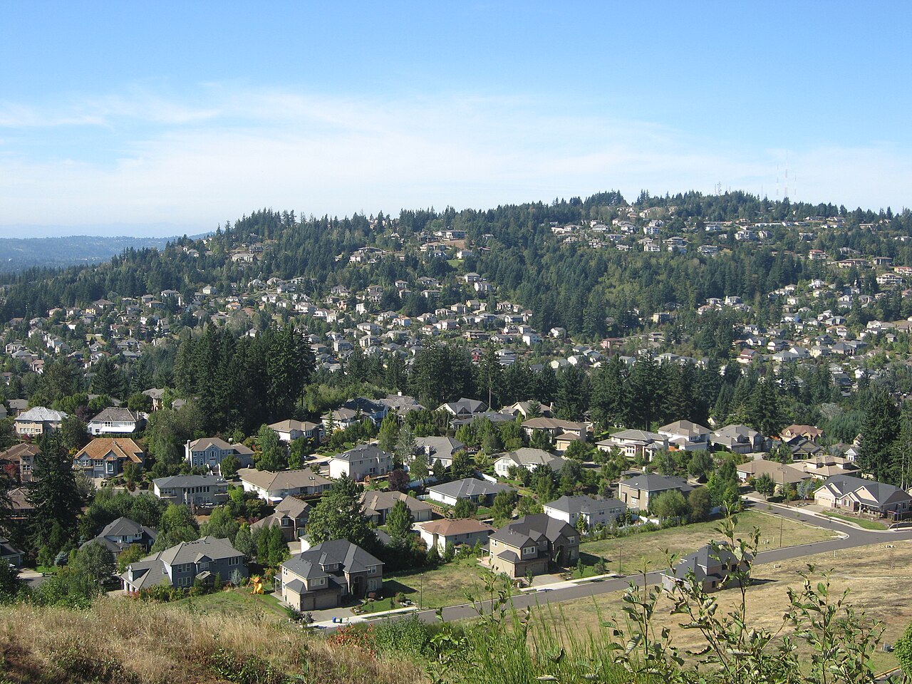 Mount Scott1,095 ft · Oregon1 route3.2 mi awayPhoto: Esprqii, CC BY-SA 3.0 (via Wikimedia Commons)
- Mount Tabor643 ft · Oregon2 routes4.7 mi away
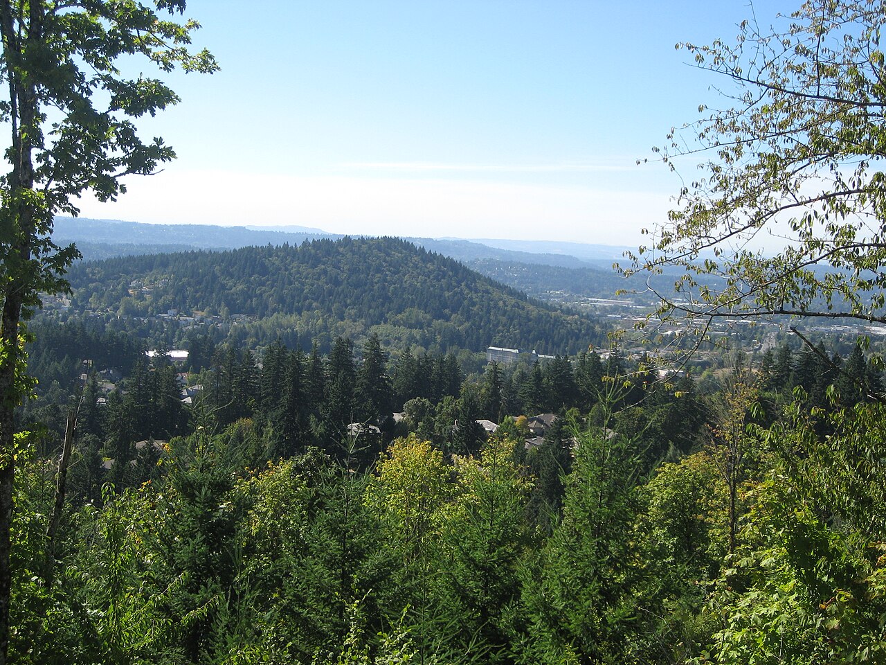 Mount Talbert746 ft · Oregon2 routes4.8 mi awayPhoto: Esprqii, CC BY-SA 3.0 (via Wikimedia Commons)
- Green Mountain797 ft · Washington2 routes12 mi away
- Orchard TrailMountain biking0.1 mi
 Hawthorn TrailHikingPhoto: mjfmjfmjf, CC BY 2.0 (via Flickr)0.1 mi
- Forest Edge TrailHikingPhoto: mjfmjfmjf, CC BY 2.0 (via Flickr)0.3 mi
- Pipeline LaneMountain biking0.3 mi
- m. Joseph Wood Hill ParkRock climbing5.1 mi
- Highball wallRock climbing5.1 mi
- c. Silver Bullet BluffRock climbing5.2 mi
- Beaver CreekCanoeing6.2 mi
Source: Roamze catalog (indexable pages within 10 miles, PostGIS distance)
- Mount ScottSummit · ~6 min drivePhoto: Esprqii, CC BY-SA 3.0 (via Wikimedia Commons)
- Mount TalbertSummit · ~8 min drivePhoto: Esprqii, CC BY-SA 3.0 (via Wikimedia Commons)
 Rocky ButteSummit · ~9 min drivePhoto: Lyn Topinka of USGS, Public domain (via Wikimedia Commons)
 Mount SylvaniaSummit · ~19 min drivePhoto: M.O. Stevens, Public domain (via Wikimedia Commons)
 Chanticleer PointSummit · ~21 min drivePhoto: Unknown authorUnknown author or not provided, Public domain (via Wikimedia Commons)
 Cooper MountainSummit · ~30 min drivePhoto: M.O. Stevens, CC BY-SA 3.0 (via Wikimedia Commons)
 Bald PeakSummit · ~47 min drivePhoto: M.O. Stevens, CC BY-SA 3.0 (via Wikimedia Commons)
 Greenleaf PeakSummit · ~52 min drivePhoto: Walter Siegmund (talk), CC BY-SA 3.0 (via Wikimedia Commons)
 Table MountainSummit · ~50 min drivePhoto: Walter Siegmund (talk), CC BY-SA 3.0 (via Wikimedia Commons)
 Tumtum MountainSummit · ~55 min drivePhoto: Seattle Skier, CC BY-SA 4.0 (via Wikimedia Commons)
Best time to visit Powell Butte
Best months: June–September. Best months have typical highs of 55–85 °F, lows of 30 °F or warmer (32 °F where the station doesn't record snow), at most one snowy day and no more than 12 wet days.
Jan
46° / 36°
20 wet
Feb
51° / 37°
17 wet
Mar
56° / 40°
19 wet
Apr
62° / 43°
17 wet
May
69° / 48°
14 wet
Jun
74° / 53°
9 wet
Jul
82° / 57°
4 wet
Aug
82° / 57°
4 wet
Sep
76° / 53°
8 wet
Oct
64° / 46°
14 wet
Nov
52° / 41°
18 wet
Dec
46° / 36°
20 wet
Typical high / low (°F) and days with rain or snow, 1991–2020. Measured at Portland Wfo, OR, 5.3 mi away at 21 ft. The station sits about 600 ft lower than this place, so expect it a little cooler here. This station doesn't record snowfall. Source: NOAA NCEI U.S. Climate Normals 1991–2020.
