Bolt Mountain
- 2,235 ft
- summit
- 1
- way up
- May–Jun, Sep–Oct
- best months
Bolt Mountain is a summit of 2,235 feet in southern Oregon, on Bureau of Land Management land in the Medford District. The nearest town is New Hope, about 2.7 miles away. Late spring and early fall are the most comfortable times to go. Typical averages from the nearby Grants Pass weather station show May highs around 74°F and September highs around 84°F, with only a few wet days in each. That station sits well below the summit, so temperatures up high run cooler. The Bolt Mountain Trail starts less than a mile away, and the Stringer Gap Trail is about 1.1 miles off. Ponderosa Pine and Bowl are both roughly 4 miles away.
Conditions and forecast
Daily highs and lows, wind and the chance of precipitation at the summit and route start for the next 7 days, from the Open-Meteo model.
- Summit elevation
- 2,235 ft
Elevation from USGS 3D Elevation Program terrain data (about 10 m resolution).
Map © Mapbox © OpenStreetMap contributors Questions about Bolt Mountain
How tall is Bolt Mountain?
2,235 ft (681 m).
How many routes go to the summit of Bolt Mountain?
One: Bolt Mountain Trail.
- Kerby Peak5,550 ft · Oregon1 route11 mi away
- Mount Elijah6,392 ft · Oregon2 routes20 mi away
- York Butte4,237 ft · Oregon1 route21 mi away
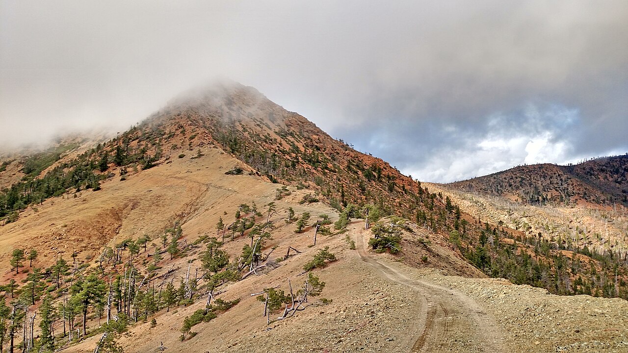 Pearsoll Peak5,095 ft · Oregon1 route23 mi awayPhoto: Forest Service, Public domain (via Wikimedia Commons)
- Canyon Peak4,901 ft · Oregon1 route24 mi away
- Whisky Peak6,488 ft · Oregon1 route25 mi away
- Bolt Mountain TrailHiking0.8 mi
- Stringer Gap TrailHiking1.1 mi
- Ponderosa PineHiking4 mi
- BowlHiking4.1 mi
- ShortcutHiking4.2 mi
- Slate CreekCanoeing5.1 mi
- Rogue RiverRiver fishing5.7 mi
- South Fork Deer CreekCanoeing9.6 mi
Source: Roamze catalog (indexable pages within 10 miles, PostGIS distance)
- Pearsoll PeakSummit · ~39 min drivePhoto: Forest Service, Public domain (via Wikimedia Commons)
 Roxy Ann PeakSummit · ~55 min drivePhoto: ZabMilenko at English Wikipedia, CC BY-SA 3.0 (via Wikimedia Commons)
 Preston PeakSummit · ~1h 6m drivePhoto: U.S. Forest Service- Pacific Northwest Region, Public domain (via Wikimedia Commons)
 Mount AshlandSummit · ~1h 10m drivePhoto: Alex Lockhart, Public domain (via Wikimedia Commons)
 Mount EmilySummit · ~1h 13m drivePhoto: Visitor7, CC BY-SA 3.0 (via Wikimedia Commons)
 Bear MountainSummit · ~1h 12m drivePhoto: Miguel Vieira from Walnut Creek, CA, USA, CC BY 2.0 (via Wikimedia Commons)
- Kerby PeakSummit · ~18 min drive
- Mount ElijahSummit · ~34 min drive
- Canyon PeakSummit · ~42 min drive
- Whisky PeakSummit · ~44 min drive
Best time to visit Bolt Mountain
Best months: May–June and September–October. Best months have typical highs of 55–85 °F, lows of 30 °F or warmer (32 °F where the station doesn't record snow), at most one snowy day and no more than 12 wet days.
Jan
48° / 35°
17 wet
Feb
54° / 36°
15 wet
Mar
60° / 37°
15 wet
Apr
65° / 40°
13 wet
May
74° / 46°
9 wet
Jun
81° / 51°
5 wet
Jul
91° / 56°
2 wet
Aug
91° / 55°
2 wet
Sep
84° / 48°
4 wet
Oct
70° / 41°
8 wet
Nov
54° / 39°
15 wet
Dec
46° / 35°
17 wet
Typical high / low (°F) and days with rain or snow, 1991–2020. Measured at Grants Pass, OR, 5.8 mi away at 932 ft. The station sits about 1,300 ft lower than this place, so expect it a little cooler here. Source: NOAA NCEI U.S. Climate Normals 1991–2020.

