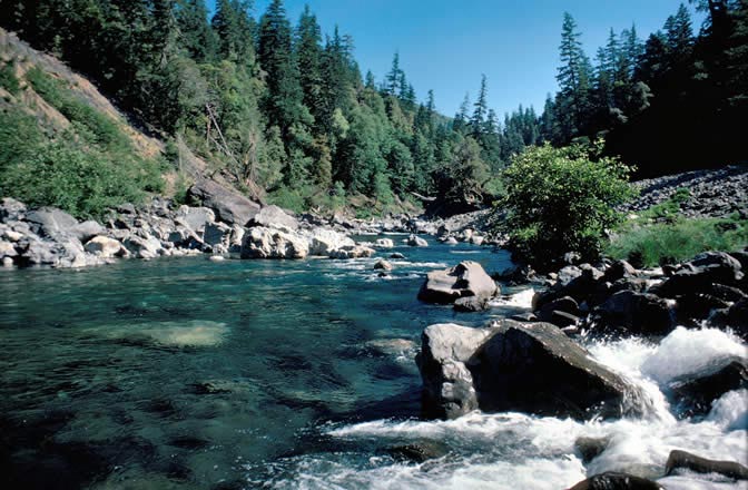
Pearsoll Peak
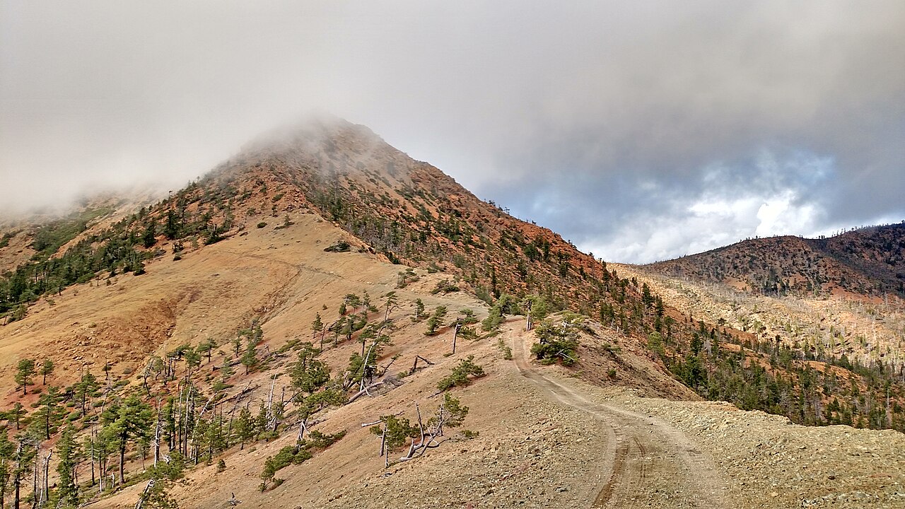 Photo: Forest Service, Public domain (via Wikimedia Commons)
- 5,095 ft
- summit
- 1
- way up
- May–Oct
- best months
Is Pearsoll Peak open right now?
Closure in the area
There's a closure order in Wild Rivers Ranger District. It doesn't name Pearsoll Peak, so check the source for the area it covers.
Illinois Falls Trail Bridge Closure
Agency closure covering Wild Rivers Ranger District · Order 06-10-22-25-02 · USFS · Wild Rivers Ranger District
Illinois River Road Seasonal Restrictions
Agency alert covering Wild Rivers Ranger District · Order 06-10-22-26-01 · USFS · Wild Rivers Ranger District
As of · Source: USFS · Wild Rivers Ranger District. Agencies don't list every closure — check before you go.
Pearsoll Peak is a summit of 5,095 feet in the Wild Rivers Ranger District of the Rogue River-Siskiyou National Forests in southern Oregon. The nearest town is Selma, about 12 miles away. Summer is the most comfortable time to go. Typical averages from a nearby weather station at Sexton Summit show July and August highs around 77°F with only about two wet days a month, while winter months bring highs in the low 40s and rain on roughly half the days. The Kalmiopsis Rim Trail lies about 2 miles away, and the Illinois River offers canoeing about 2.5 miles off. For an overnight base, Echo Beach Campground is about 4.4 miles away, and Bailey Mountain is about 3 miles away.
Conditions and forecast
Daily highs and lows, wind and the chance of precipitation at the summit and route start for the next 7 days, from the Open-Meteo model.
- Summit elevation
- 5,095 ft
Elevation from USGS 3D Elevation Program terrain data (about 10 m resolution).
Map © Mapbox © OpenStreetMap contributors Questions about Pearsoll Peak
How tall is Pearsoll Peak?
5,095 ft (1,553 m).
How many routes go to the summit of Pearsoll Peak?
One: Pearsoll Peak.
When is the best time to climb Pearsoll Peak?
June 1 – October 31.
- Kalmiopsis Rim TrailHiking1.9 mi
- Illinois RiverCanoeing2.5 mi
- Upper ChetcoHiking2.8 mi
- Bailey MountainHiking3 mi
- Echo Beach CampgroundCamping4.4 mi
- Klondike CreekCanoeing4.4 mi
- Store GulchCamping5.1 mi
- River Bench CampgroundCamping5.4 mi
Source: Roamze catalog (indexable pages within 10 miles, PostGIS distance)
 Mount EmilySummit · ~36 min drivePhoto: Visitor7, CC BY-SA 3.0 (via Wikimedia Commons)
 Preston PeakSummit · ~59 min drivePhoto: U.S. Forest Service- Pacific Northwest Region, Public domain (via Wikimedia Commons)
 Bear MountainSummit · ~1h 1m drivePhoto: Miguel Vieira from Walnut Creek, CA, USA, CC BY 2.0 (via Wikimedia Commons)
- York ButteSummit · ~12 min drive
- Canyon PeakSummit · ~13 min drive
- South Bend MountainSummit · ~16 min drive
- Mislatnah PeakSummit · ~18 min drive
- Vulcan PeakSummit · ~19 min drive
- Fish Hook PeakSummit · ~28 min drive
- Snow Camp MountainSummit · ~29 min drive
Best time to visit Pearsoll Peak
Best months: May–October. Best months have typical highs of 55–85 °F, lows of 30 °F or warmer (32 °F where the station doesn't record snow), at most one snowy day and no more than 12 wet days.
Jan
43° / 33°
16 wet
Feb
44° / 33°
15 wet
Mar
46° / 33°
16 wet
Apr
52° / 35°
14 wet
May
61° / 41°
10 wet
Jun
68° / 46°
6 wet
Jul
77° / 53°
2 wet
Aug
77° / 54°
2 wet
Sep
70° / 51°
4 wet
Oct
58° / 43°
9 wet
Nov
47° / 36°
15 wet
Dec
41° / 32°
16 wet
Typical high / low (°F) and days with rain or snow, 1991–2020. Measured at Sexton Summit, OR, 32.2 mi away at 3,832 ft. The station sits about 1,300 ft lower than this place, so expect it a little cooler here. This station doesn't record snowfall. Source: NOAA NCEI U.S. Climate Normals 1991–2020.
Closures we've recorded since August 2026
Stage 2 Public Use Fire Restrictions (Forest-wide)
Rogue River-Siskiyou National Forests · Order dated September 4, 2026; seen Sep 3, 2026 → lifted Oct 28, 2026 · Forest Service
Stage 3 Public Use Fire Restrictions (Forest-wide)
Rogue River-Siskiyou National Forests · Order dated July 17, 2026; seen Aug 23, 2026 → lifted Sep 3, 2026 · Forest Service