Roxy Ann Peak
 Photo: ZabMilenko at English Wikipedia, CC BY-SA 3.0 (via Wikimedia Commons)
- 3,575 ft
- summit
- 2
- ways up
- May–Oct
- best months
Roxy Ann Peak is a summit of 3,575 feet in Prescott Park, about 3.6 miles from Medford, Oregon. It sits among a cluster of short trails, with the Ponderosa Trail starting just 0.1 mile away and the Lithic and Manzanita trails each about 0.3 mile off. Summer is the most comfortable time to go. Typical averages from a nearby weather station show July and August highs around 79°F with only two or three wet days a month, while winter brings highs in the mid-30s and regular snow from December through February. Paddlers can find Antelope Creek about 3.9 miles away and Bear Creek about 7 miles away.
Conditions and forecast
Daily highs and lows, wind and the chance of precipitation at the summit and route start for the next 7 days, from the Open-Meteo model.
- Summit elevation
- 3,575 ft
Elevation from USGS 3D Elevation Program terrain data (about 10 m resolution).
- Manzanita TrailEasyabout 997 ft of climbing1.2 mi round trip
- Ponderosa TrailModerateabout 1,377 ft of climbing2.2 mi round trip
Compare the routes Manzanita Trail Ponderosa Trail Climbing About 997 ft About 1,377 ft Round trip 1.2 mi 2.2 mi Difficulty Easy Moderate Terrain Hike Hike Map © Mapbox © OpenStreetMap contributors Questions about Roxy Ann Peak
How tall is Roxy Ann Peak?
3,575 ft (1,090 m).
How many routes go to the summit of Roxy Ann Peak?
2: Manzanita Trail and Ponderosa Trail.
What is the shortest route up Roxy Ann Peak?
Manzanita Trail, about 1.2 mi round trip.
- Grizzly Peak5,917 ft · Oregon1 route10 mi away
- Anderson Butte5,179 ft · Oregon1 route12 mi away
- McDonald Peak7,223 ft · Oregon1 route19 mi away
 Mount Ashland7,493 ft · Oregon2 routes19 mi awayPhoto: Alex Lockhart, Public domain (via Wikimedia Commons)
 Mount McLoughlin9,497 ft · Oregon1 route25 mi awayPhoto: Lyn Topinka, USGS, Public domain (via Wikimedia Commons)
 Boccard Point5,894 ft · Oregon1 route26 mi awayPhoto: Bureau of Land Management, Public domain (via Wikimedia Commons)
 Ponderosa TrailHikingPhoto: sloalan, Public Domain Dedication (CC0) (via Flickr)0.1 mi
 Lithic TrailHikingPhoto: sloalan, Public Domain Dedication (CC0) (via Flickr)0.3 mi
- Manzanita TrailHikingPhoto: sloalan, Public Domain Dedication (CC0) (via Flickr)0.3 mi
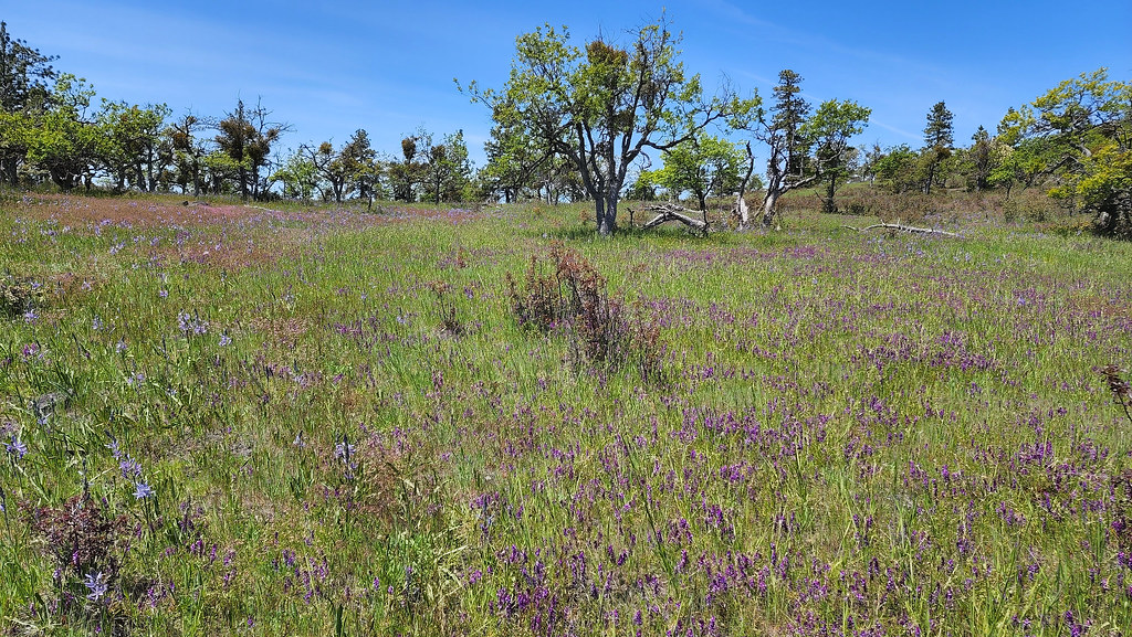 Oak TrailHikingPhoto: sloalan, Public Domain Dedication (CC0) (via Flickr)0.4 mi
- Equestrian LoopHikingPhoto: sloalan, Public Domain Dedication (CC0) (via Flickr)0.4 mi
- Antelope CreekCanoeing3.9 mi
 Bear CreekCanoeingPhoto: ZabMilenko at English Wikipedia, Public domain (via Wikimedia Commons)7 mi
 Little Butte CreekCanoeingPhoto: An employee of the USDA Forest Service, Public domain (via Wikimedia Commons)8.5 mi
Source: Roamze catalog (indexable pages within 10 miles, PostGIS distance)
- Mount AshlandSummit · ~33 min drivePhoto: Alex Lockhart, Public domain (via Wikimedia Commons)
- Mount McLoughlinSummit · ~43 min drivePhoto: Lyn Topinka, USGS, Public domain (via Wikimedia Commons)
- Boccard PointSummit · ~44 min drivePhoto: Bureau of Land Management, Public domain (via Wikimedia Commons)
 Brown MountainSummit · ~45 min drivePhoto: Little Mountain 5, CC BY-SA 3.0 (via Wikimedia Commons)
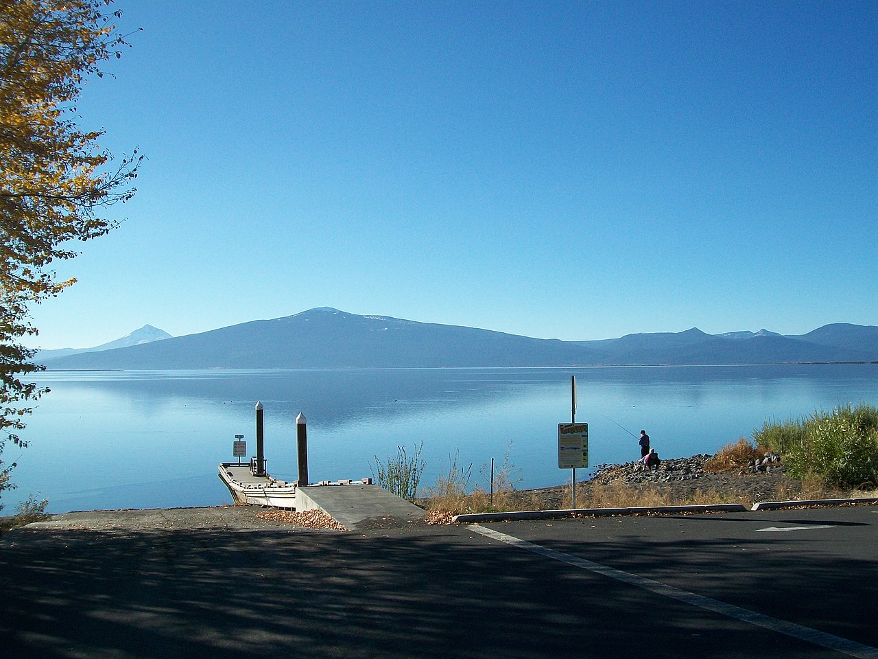 Pelican ButteSummit · ~59 min drivePhoto: Bobjgalindo, CC BY-SA 4.0 (via Wikimedia Commons)
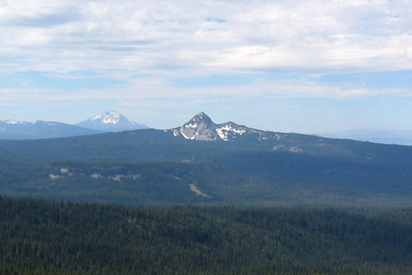 Union PeakSummit · ~1h 15m drivePhoto: Jude Giampaolo Burntnickel at en.wikipedia, Public domain (via Wikimedia Commons)
- Grizzly PeakSummit · ~18 min drive
- Anderson ButteSummit · ~21 min drive
- McDonald PeakSummit · ~32 min drive
- Cat HillSummit · ~47 min drive
Also worth it near here
Best time to visit Roxy Ann Peak
Best months: May–October. Best months have typical highs of 55–85 °F, lows of 30 °F or warmer (32 °F where the station doesn't record snow), at most one snowy day and no more than 12 wet days.
Jan
36° / 23°
15 wet · 9 snow
Feb
40° / 23°
14 wet · 8 snow
Mar
45° / 26°
16 wet · 8 snow
Apr
50° / 29°
13 wet · 4 snow
May
60° / 36°
11 wet · 1 snow
Jun
68° / 40°
5 wet
Jul
79° / 47°
3 wet
Aug
79° / 46°
2 wet
Sep
72° / 40°
4 wet
Oct
58° / 33°
8 wet · 1 snow
Nov
42° / 28°
13 wet · 5 snow
Dec
35° / 23°
15 wet · 9 snow
Typical high / low (°F) and days with rain or snow, 1991–2020. Measured at Howard Prairie Dam, OR, 22.5 mi away at 4,567 ft. The station sits about 1,000 ft higher than this place, so expect it a little warmer here. Source: NOAA NCEI U.S. Climate Normals 1991–2020.
