Mountain · 1 route
Canyon Peak
4,901 ft · Oregon
- Summit
- 4,901 ft
- Routes
- 1 way up
Route up Canyon Peak
About Canyon Peak
Canyon Peak is a summit in the Wild Rivers Ranger District of the Rogue River-Siskiyou National Forests in southwest Oregon, about 9 miles from the town of Kerby. The closest outing is Emily Cabin, half a mile away. Babyfoot Lake Rim and Bailey Cabin are both about 1.4 miles off. For paddling, the Chetco River is about 4 miles away, and Echo Beach Campground is just under 8 miles away.
Forecast on Canyon Peak
Daily highs and lows, wind and the chance of precipitation at the summit and route start for the next 7 days, from the Open-Meteo model.
Questions about Canyon Peak
How tall is Canyon Peak?
4,901 ft (1,494 m).
How many routes go to the summit of Canyon Peak?
One: Kalmiopsis Rim Trail.
Mountains nearby
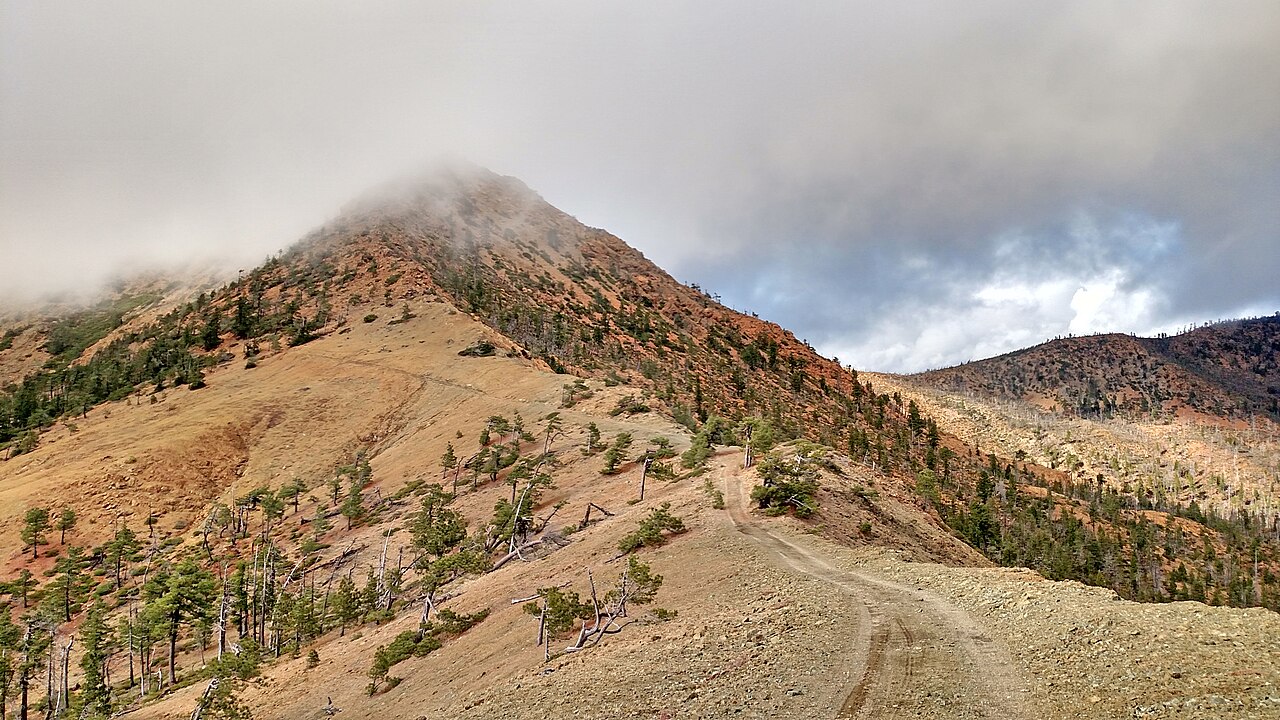 Pearsoll Peak5,095 ft · Oregon1 route7.3 mi awayPhoto: Forest Service, Public domain (via Wikimedia Commons)
- Vulcan Peak4,648 ft · Oregon1 route8.5 mi away
- York Butte4,237 ft · Oregon1 route14 mi away
- Mislatnah Peak3,127 ft · Oregon1 route14 mi away
- Kerby Peak5,550 ft · Oregon1 route19 mi away
- Snow Camp Mountain4,224 ft · Oregon1 route20 mi away
Facts about this place
Where it is
- Wild Rivers Ranger District · Ranger district
- Rogue River-Siskiyou National Forests · National forest
- Nearest town
- Kerby, Oregon · 9 mi
Conditions
Active alerts for Wild Rivers Ranger District as of Oct 9, 2026:
Illinois Falls Trail Bridge Closure
critical · posted Aug 24, 2026
Illinois River Road Seasonal Restrictions
fire-restriction · posted Aug 24, 2026
Source: USFS forest alerts
Nearby
 Emily CabinHikingPhoto: U.S. Forest Service- Pacific Northwest Region, Public domain (via Wikimedia Commons)0.5 mi
- Babyfoot Lake RimHikingPhoto: U.S. Forest Service- Pacific Northwest Region, Public domain (via Wikimedia Commons)1.4 mi
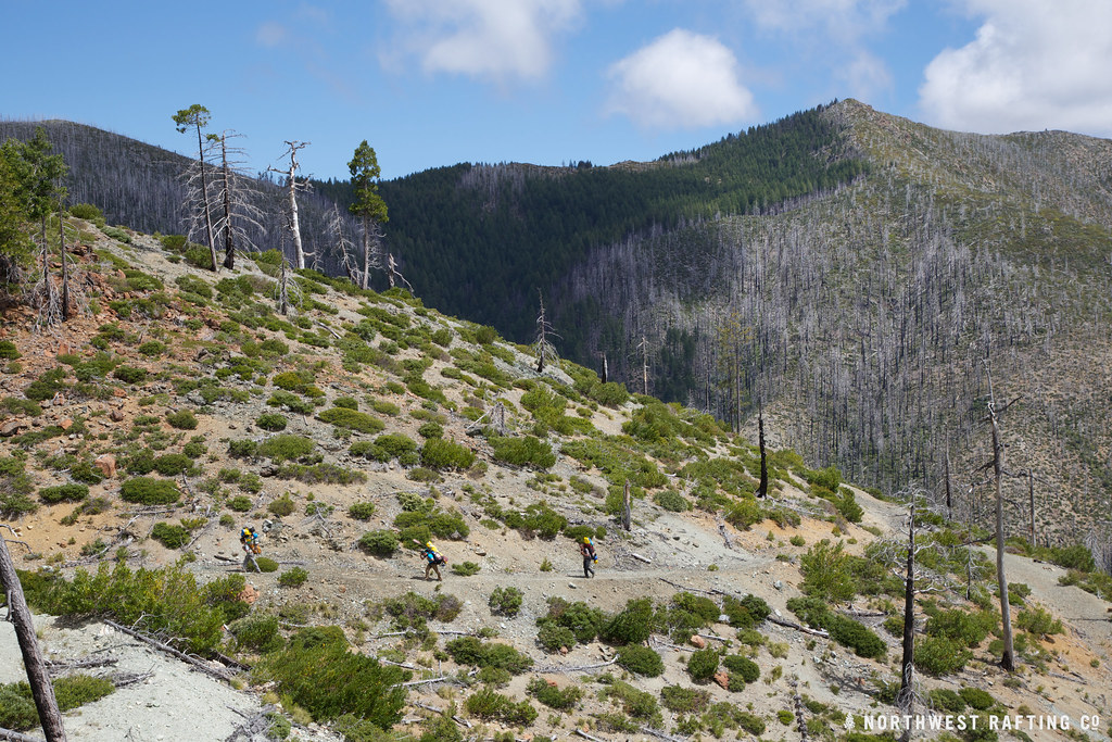 Bailey CabinHikingPhoto: Northwest Rafting Company, CC BY 2.0 (via Flickr)1.4 mi
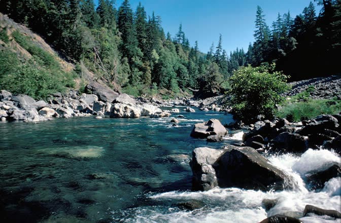 Chetco RiverCanoeingPhoto: Lee Webb, Public domain (via Wikimedia Commons)4.1 mi
- Josephine CreekCanoeing5.3 mi
- Echo Beach CampgroundCamping7.9 mi
- Store GulchCamping8 mi
- River Bench CampgroundCamping8.1 mi
Source: Roamze catalog (indexable pages within 10 miles, PostGIS distance)
Is Canyon Peak open right now?
Closure in the area
There's a closure order in Wild Rivers Ranger District. It doesn't name Canyon Peak, so check the source for the area it covers.
Illinois Falls Trail Bridge Closure
Agency closure covering Wild Rivers Ranger District · Order 06-10-22-25-02 · USFS · Wild Rivers Ranger District
Stage 2 Public Use Fire Restrictions (Wild and Scenic Lower Rogue River)
Agency alert covering Rogue River-Siskiyou National Forests · Order 06-10-01-26-06 · USFS · Rogue River-Siskiyou National Forests
Stage 2 Public Use Fire Restrictions (Forest-wide)
Agency alert covering Rogue River-Siskiyou National Forests · Order 06-10-01-26-03 · USFS · Rogue River-Siskiyou National Forests
Illinois River Road Seasonal Restrictions
Agency alert covering Wild Rivers Ranger District · Order 06-10-22-26-01 · USFS · Wild Rivers Ranger District
As of · Source: USFS · Wild Rivers Ranger District. Agencies don't list every closure — check before you go.
