Mount Ashland
 Photo: Alex Lockhart, Public domain (via Wikimedia Commons)
- 7,493 ft
- summit
- 2
- ways up
Is Mount Ashland open right now?
Alert in the area
The Forest Service lists 2 alerts for Klamath National Forest.
Temporarily closure of approximately 3.5 miles of National Forest System Roads 47N01
Agency alert covering Klamath National Forest · Order 05-05-00-26-08 · USFS · Klamath National Forest
Grayback Road Repairs
Agency alert covering Klamath National Forest · USFS · Klamath National Forest
As of · Source: USFS · Klamath National Forest. Agencies don't list every closure — check before you go.
Mount Ashland is a summit in southern Oregon, about 7.7 miles from the town of Ashland. It sits within the Oak Knoll Ranger District of the Klamath National Forest. Several spots sit right around the mountain. Mt Ashland campground and Mt. Ashland's Dream Boulder are each about 0.4 miles away, along with the Grouse Creek Nordic trail, and Summit Nordic is about 0.5 miles off. A bit farther out, Wrangle Campground lies about 7.4 miles away.
Conditions and forecast
Daily highs and lows, wind and the chance of precipitation at the summit and route start for the next 7 days, from the Open-Meteo model.
- Summit elevation
- 7,493 ft
Elevation from USGS 3D Elevation Program terrain data (about 10 m resolution).
- SUMMIT NORDICModerateabout 1,173 ft of climbing2.8 mi round trip
- SummitModerateabout 1,206 ft of climbing1.7 mi round trip
Compare the routes SUMMIT NORDIC Summit Climbing About 1,173 ft About 1,206 ft Round trip 2.8 mi 1.7 mi Difficulty Moderate Moderate Terrain Hike Hike Season — June 1 – October 31 Map © Mapbox © OpenStreetMap contributors Questions about Mount Ashland
How tall is Mount Ashland?
7,493 ft (2,284 m).
How many routes go to the summit of Mount Ashland?
2: SUMMIT NORDIC and Summit.
What is the shortest route up Mount Ashland?
Summit, about 1.7 mi round trip.
When is the best time to climb Mount Ashland?
June 1 – October 31.
- McDonald Peak7,223 ft · Oregon1 route1.9 mi away
 Boccard Point5,894 ft · Oregon1 route12 mi awayPhoto: Bureau of Land Management, Public domain (via Wikimedia Commons)
- Anderson Butte5,179 ft · Oregon1 route12 mi away
- Grizzly Peak5,917 ft · Oregon1 route14 mi away
 Roxy Ann Peak3,575 ft · Oregon2 routes19 mi awayPhoto: ZabMilenko at English Wikipedia, CC BY-SA 3.0 (via Wikimedia Commons)
- Stein Butte4,400 ft · Oregon1 route20 mi away
- Mt AshlandCamping0.4 mi
 Mt. Ashland's Dream BoulderRock climbingPhoto: james shaw, CC BY-SA 3.0 (via Wikimedia Commons)0.4 mi
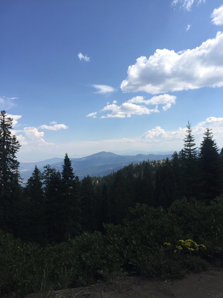 GROUSE CREEK NORDICHikingPhoto: zappowbang, CC BY-SA 2.0 (via Flickr)0.4 mi
- Summit NordicCross-country skiing0.5 mi
- Cow CreekCanoeing6.9 mi
- Wrangle CampgroundCamping7.4 mi
- Emigrant CreekCanoeing7.8 mi
- Ren WallRock climbing8 mi
Source: Roamze catalog (indexable pages within 10 miles, PostGIS distance)
- Boccard PointSummit · ~21 min drivePhoto: Bureau of Land Management, Public domain (via Wikimedia Commons)
- Roxy Ann PeakSummit · ~33 min drivePhoto: ZabMilenko at English Wikipedia, CC BY-SA 3.0 (via Wikimedia Commons)
 Brown MountainSummit · ~52 min drivePhoto: Little Mountain 5, CC BY-SA 3.0 (via Wikimedia Commons)
 Mount McLoughlinSummit · ~56 min drivePhoto: Lyn Topinka, USGS, Public domain (via Wikimedia Commons)
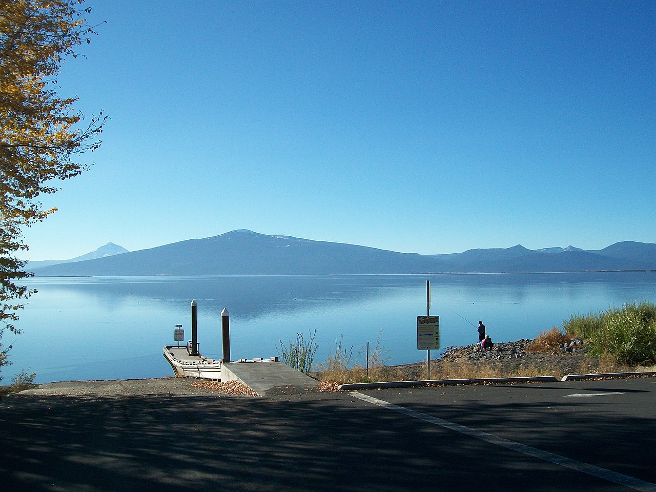 Pelican ButteSummit · ~1h 12m drivePhoto: Bobjgalindo, CC BY-SA 4.0 (via Wikimedia Commons)
 Preston PeakSummit · ~1h 24m drivePhoto: U.S. Forest Service- Pacific Northwest Region, Public domain (via Wikimedia Commons)
- Grizzly PeakSummit · ~24 min drive
- Whisky PeakSummit · ~49 min drive
- Lower Devils PeakSummit · ~49 min drive
- Buck PeakSummit · ~57 min drive
