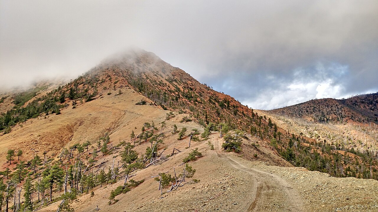
Preston Peak
 Photo: U.S. Forest Service- Pacific Northwest Region, Public domain (via Wikimedia Commons)
- 7,306 ft
- summit
- Forest Service
- managed by
Is Preston Peak open right now?
Alert in the area
The Forest Service lists 2 alerts for Klamath National Forest.
Temporarily closure of approximately 3.5 miles of National Forest System Roads 47N01
Agency alert covering Klamath National Forest · Order 05-05-00-26-08 · USFS · Klamath National Forest
Grayback Road Repairs
Agency alert covering Klamath National Forest · USFS · Klamath National Forest
As of · Source: USFS · Klamath National Forest. Agencies don't list every closure — check before you go.
Preston Peak is a summit of about 7,306 feet in Siskiyou County, California, inside the Siskiyou Wilderness. It lies within the Happy Camp Ranger District of Klamath National Forest, which the Forest Service manages, and the nearest town is Happy Camp, about 11 miles away. The peak sits in designated wilderness, so plan around the rules that apply there. Several trails start close by. Rattlesnake Meadows is about 2 miles away, and the Siskiyou Wilderness Preston Loop and Devil's Punchbowl are each about 2.5 miles off. For an overnight base, Bear Basin Lookout and Cabin is roughly 7 miles away.
Conditions and forecast
Daily highs and lows, wind and the chance of precipitation at the summit for the next 7 days, from the Open-Meteo model.
- Summit elevation
- 7,306 ft
- Land manager
- Forest Service
Elevation from USGS 3D Elevation Program terrain data (about 10 m resolution).
We don't know of a mapped trail or route to the summit of Preston Peak. Plan the approach with local maps, a guidebook or a local guide, and check conditions before you go.
Questions about Preston Peak
How tall is Preston Peak?
7,306 ft (2,227 m).
Is there a trail to the top of Preston Peak?
We don't know of a mapped trail or route to the summit. Plan the approach with local maps, a guidebook or a local guide.
- Rattlesnake MeadowsHiking2.1 mi
- Siskiyou Wilderness Preston LoopHiking2.5 mi
 Devil's PunchbowlHikingPhoto: Miguel Vieira from Walnut Creek, CA, USA, CC BY 2.0 (via Wikimedia Commons)2.5 mi
- Sanger LakeLake fishing5 mi
- Twin Valley CreekCanoeing5 mi
- Clear CreekCanoeing5.1 mi
- Bear Basin Lookout and CabinCamping6.8 mi
- West BranchCamping9.7 mi
Source: Roamze catalog (indexable pages within 10 miles, PostGIS distance)
 Mount EmilySummit · ~57 min drivePhoto: Visitor7, CC BY-SA 3.0 (via Wikimedia Commons)
 Pearsoll PeakSummit · ~59 min drivePhoto: Forest Service, Public domain (via Wikimedia Commons)
 Salmon MountainSummit · ~1h 19m drivePhoto: Mkauffmann, CC BY 3.0 (via Wikimedia Commons)
 Mount AshlandSummit · ~1h 24m drivePhoto: Alex Lockhart, Public domain (via Wikimedia Commons)
 Bear MountainSummit · ~7 min drivePhoto: Miguel Vieira from Walnut Creek, CA, USA, CC BY 2.0 (via Wikimedia Commons)
- Sanger PeakSummit · ~11 min drive
- Baldy PeakSummit · ~21 min drive
- Cold Spring MountainSummit · ~26 min drive
- Mount ElijahSummit · ~36 min drive
- Lower Devils PeakSummit · ~37 min drive
