Mount Emily
 Photo: Visitor7, CC BY-SA 3.0 (via Wikimedia Commons)
- 2,928 ft
- summit
- Apr–Jun, Oct
- best months
Is Mount Emily open right now?
Closure in the area
There's a closure order in Gold Beach Ranger District. It doesn't name Mount Emily, so check the source for the area it covers.
Moon Complex Fire Closure
Agency closure covering Gold Beach Ranger District · Order 06-10-28-26-05 · USFS · Gold Beach Ranger District
As of · Source: USFS · Gold Beach Ranger District. Agencies don't list every closure — check before you go.
Mount Emily is a summit of 2,928 feet in the Gold Beach Ranger District of the Rogue River-Siskiyou National Forests in Oregon, about 7 miles from the town of Harbor. Late spring and early fall are the most comfortable times to go. Typical averages from a nearby weather station show May highs around 76°F and September highs around 87°F, while July and August average about 94°F. That station sits well below the summit, so temperatures up high run cooler. Several other outings lie within a few miles. The Riverview Nature Trail is about 2 miles away, and the Japanese Bombing Site hike is about 2.3 miles off. For camping, Miller Bar is about 2.2 miles away and Nook Bar is about 3 miles away.
Conditions and forecast
Daily highs and lows, wind and the chance of precipitation at the summit for the next 7 days, from the Open-Meteo model.
- Summit elevation
- 2,928 ft
Elevation from USGS 3D Elevation Program terrain data (about 10 m resolution).
We don't know of a mapped trail or route to the summit of Mount Emily. Plan the approach with local maps, a guidebook or a local guide, and check conditions before you go.
Questions about Mount Emily
How tall is Mount Emily?
2,928 ft (892 m).
Is there a trail to the top of Mount Emily?
We don't know of a mapped trail or route to the summit. Plan the approach with local maps, a guidebook or a local guide.
- Vulcan Peak4,648 ft · Oregon1 route10 mi away
- Mislatnah Peak3,127 ft · Oregon1 route15 mi away
- Snow Camp Mountain4,224 ft · Oregon1 route17 mi away
- Canyon Peak4,901 ft · Oregon1 route18 mi away
- Cold Spring Mountain3,729 ft · California1 route20 mi away
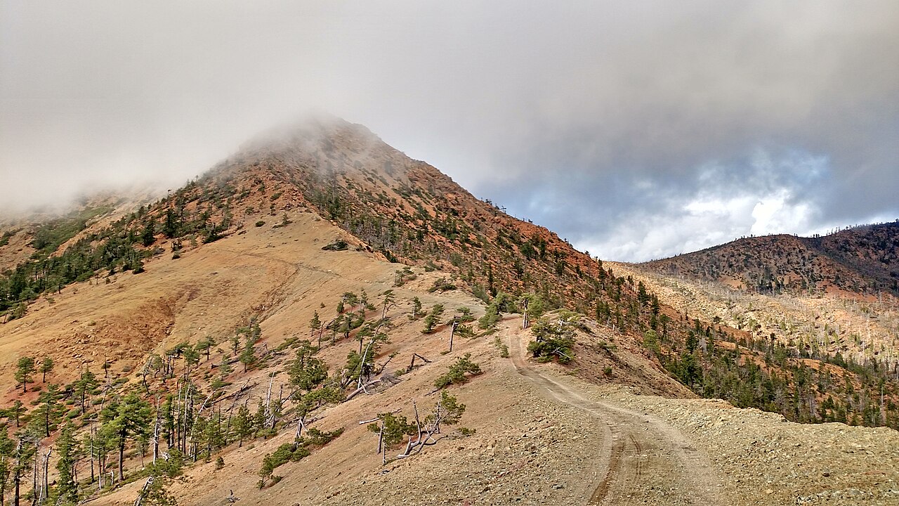 Pearsoll Peak5,095 ft · Oregon1 route21 mi awayPhoto: Forest Service, Public domain (via Wikimedia Commons)
 Riverview Nature TrailHikingPhoto: Rick Obst, CC BY 2.0 (via Flickr)1.9 mi
- Miller BarCamping2.2 mi
- Japanese Bombing SiteHiking2.3 mi
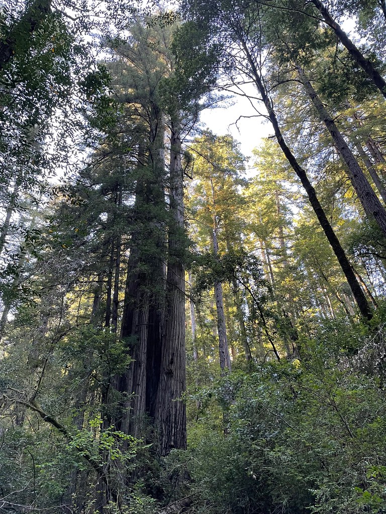 Redwood NatureHikingPhoto: bsterling, CC BY-SA 2.0 (via Flickr)2.5 mi
- Nook BarCamping3 mi
- Redwood BarCamping3.7 mi
- East Fork Winchuck RiverCanoeing4.8 mi
 Winchuck RiverCanoeingPhoto: United States Forest Service, Public domain (via Wikimedia Commons)5.6 mi
Source: Roamze catalog (indexable pages within 10 miles, PostGIS distance)
- Pearsoll PeakSummit · ~36 min drivePhoto: Forest Service, Public domain (via Wikimedia Commons)
 Preston PeakSummit · ~57 min drivePhoto: U.S. Forest Service- Pacific Northwest Region, Public domain (via Wikimedia Commons)
 Bear MountainSummit · ~56 min drivePhoto: Miguel Vieira from Walnut Creek, CA, USA, CC BY 2.0 (via Wikimedia Commons)
- Vulcan PeakSummit · ~17 min drive
- Mislatnah PeakSummit · ~26 min drive
- Snow Camp MountainSummit · ~29 min drive
- Canyon PeakSummit · ~31 min drive
- Cold Spring MountainSummit · ~34 min drive
- Quosatana ButteSummit · ~37 min drive
- South Bend MountainSummit · ~38 min drive
Also worth it near here
 Alfred A. LoebCamping · ~3 min drivePhoto: Rick Obst — CC BY 2.0 (via Flickr)
- Riverview Nature TrailHiking · ~3 min drivePhoto: Rick Obst, CC BY 2.0 (via Flickr)
- Winchuck RiverCanoeing · ~10 min drivePhoto: United States Forest Service, Public domain (via Wikimedia Commons)
- Clifford Kamph Memorial ParkBeach · ~16 min drive
Best time to visit Mount Emily
Best months: April–June and October. Best months have typical highs of 55–85 °F, lows of 30 °F or warmer (32 °F where the station doesn't record snow), at most one snowy day and no more than 12 wet days.
Jan
49° / 32°
17 wet · 1 snow
Feb
55° / 33°
15 wet · 1 snow
Mar
60° / 34°
16 wet · 1 snow
Apr
67° / 37°
12 wet
May
76° / 42°
8 wet
Jun
83° / 46°
4 wet
Jul
94° / 52°
2 wet
Aug
94° / 49°
1 wet
Sep
87° / 44°
3 wet
Oct
72° / 39°
8 wet
Nov
55° / 36°
15 wet
Dec
47° / 33°
18 wet · 1 snow
Typical high / low (°F) and days with rain or snow, 1991–2020. Measured at Cave Junction 1 Wnw, OR, 26.5 mi away at 1,377 ft. The station sits about 1,600 ft lower than this place, so expect it a little cooler here. Source: NOAA NCEI U.S. Climate Normals 1991–2020.
Closures we've recorded since August 2026
Stage 2 Public Use Fire Restrictions (Forest-wide)
Rogue River-Siskiyou National Forests · Order dated September 4, 2026; seen Sep 3, 2026 → lifted Oct 28, 2026 · Forest Service
Stage 3 Public Use Fire Restrictions (Forest-wide)
Rogue River-Siskiyou National Forests · Order dated July 17, 2026; seen Aug 23, 2026 → lifted Sep 3, 2026 · Forest Service
