Bolt Mountain Trail
- 2.4 mi
- round trip
- 1,647 ft
- climb
- 2,235 ft
- high point
- Out and back
- route
- May–Jun, Sep–Oct
- best months
Bolt Mountain Trail is a 2.35-mile moderate hike on Bureau of Land Management land in the Medford Grants Pass Field Office in southern Oregon. The trail is an out-and-back that climbs from about 1,175 feet to 2,235 feet, with a total elevation gain of 1,647 feet over the round trip. The steepest stretch comes at about 0.49 miles in, where the grade reaches 24%. The most comfortable months for a visit are typically late spring and early fall. Typical averages from the nearby Grants Pass weather station show May highs around 74°F and September highs around 84°F, while July and August average about 91°F. That station sits well below the trail, so temperatures on the mountain run cooler. The hike takes about 2.5 hours. Stringer Gap Trail is 1.8 miles away, and Ponderosa Pine and Slate Creek are both within about 5 miles. The Rogue River, about 6.5 miles off, offers river fishing.
Local outfitters
- Huntfluent Guide Service7 mi away
- Applegate Trail Rides12 mi away
Not on Roamze yet. Their page has how to reach them.
Conditions and forecast on Bolt Mountain
Daily highs and lows, wind and the chance of precipitation at the summit and route start for the next 7 days, from the Open-Meteo model.
- Stringer Gap TrailHiking1.8 mi
- Ponderosa PineHiking4.7 mi
- Slate CreekCanoeing4.8 mi
- ShortcutHiking4.8 mi
- BowlHiking4.8 mi
- Rogue RiverRiver fishing6.5 mi
- South Fork Deer CreekCanoeing8.8 mi
- Deer CreekCanoeing9.5 mi
Source: Roamze catalog (indexable pages within 10 miles, PostGIS distance)
 Nebraska Canal TrailHiking · ~10 min drivePhoto: waterarchives, CC BY-SA 2.0 (via Flickr)
- Outback LoopHiking · ~9 min drive
- Shan Creek TrailHiking · ~17 min drive
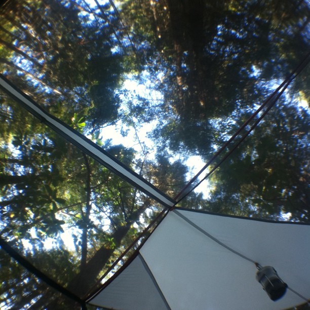 Mountain Top TrailHiking · ~19 min drivePhoto: scubamarketing, CC BY-SA 2.0 (via Flickr)
- WALTERS CREEK INTERPRETIVEHiking · ~12 min drive
- Kerby PeakHiking · ~14 min drive
- Stringer Gap TrailHiking · ~3 min drive
- Waters Creek Interpretive TrailHiking · ~12 min drive
- Ponderosa PineHiking · ~8 min drive
- ShortcutHiking · ~8 min drive
Best time to visit Bolt Mountain Trail
Best months: May–June and September–October. Best months have typical highs of 55–85 °F, lows of 30 °F or warmer (32 °F where the station doesn't record snow), at most one snowy day and no more than 12 wet days.
Jan
48° / 35°
17 wet
Feb
54° / 36°
15 wet
Mar
60° / 37°
15 wet
Apr
65° / 40°
13 wet
May
74° / 46°
9 wet
Jun
81° / 51°
5 wet
Jul
91° / 56°
2 wet
Aug
91° / 55°
2 wet
Sep
84° / 48°
4 wet
Oct
70° / 41°
8 wet
Nov
54° / 39°
15 wet
Dec
46° / 35°
17 wet
Typical high / low (°F) and days with rain or snow, 1991–2020. Measured at Grants Pass, OR, 6.6 mi away at 932 ft. The station sits about 1,300 ft lower than this place, so expect it a little cooler here. Source: NOAA NCEI U.S. Climate Normals 1991–2020.
Route details
- Distance
- 2.4 mi round trip
- Climbing
- About 1,647 ft
- Summit
- 2,235 ft
- Difficulty
- Moderate
- Time
- About 1.5 hours
Questions about this route
How long is the Bolt Mountain Trail on Bolt Mountain?
About 2.4 mi round trip.
How much elevation gain is on the Bolt Mountain Trail?
About 1,647 ft of climbing round trip.
How hard is the Bolt Mountain Trail?
It is rated moderate.
How long does the Bolt Mountain Trail take?
About 1.5 hours round trip.
