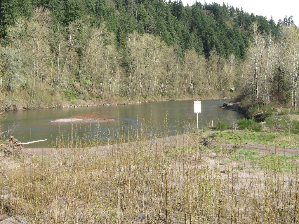
Oxbow Regional Park Campground
Campground
Campground · 5.5 mi from the trail
Springwater Corridor is a mountain biking route in Oregon, about 1.3 miles from the town of Hillsview. The route is flat, with no elevation gain at all, so it is a straightforward ride for anyone looking to cover ground without climbing. Summer is the most comfortable time to ride. Typical averages from a nearby weather station show July and August highs around 82°F with only about four wet days a month, while winter months bring highs in the mid-40s and rain on most days. Several other outdoor spots sit close by. The Kelly Creek Greenway Trail is about 1.8 miles away, and the Cazadero Trail, another mountain biking route, is about 2.2 miles off. Hikers can head to the Gresham Butte Saddle Trail, roughly 2.8 miles away, and paddlers will find Beaver Creek about 3.8 miles from the corridor.
Oxbow Regional Park Campground
Campground
Carlos Birriera
Restaurant
 If it rainsIan Poellet, CC BY-SA 3.0 · Wikimedia Commons
Places © OpenStreetMap contributors, Places © Overture Maps Foundation · Photos: Ian Poellet, CC BY-SA 3.0 (commons)
More in Mount Hood VillagesNot on Roamze yet. Their page has how to reach them.
Source: Roamze catalog (indexable pages within 10 miles, PostGIS distance)
Best months: June–September. Best months have typical highs of 55–85 °F, lows of 30 °F or warmer (32 °F where the station doesn't record snow), at most one snowy day and no more than 12 wet days.
Jan
47° / 37°
18 wet
Feb
51° / 38°
16 wet
Mar
57° / 40°
18 wet
Apr
62° / 43°
17 wet
May
69° / 49°
14 wet
Jun
74° / 53°
9 wet
Jul
82° / 57°
4 wet
Aug
82° / 57°
4 wet
Sep
76° / 52°
8 wet
Oct
64° / 46°
15 wet
Nov
53° / 42°
18 wet
Dec
46° / 37°
19 wet
Typical high / low (°F) and days with rain or snow, 1991–2020. Measured at Portland Troutdale Ap, OR, 6.3 mi away at 29 ft. This station doesn't record snowfall. Source: NOAA NCEI U.S. Climate Normals 1991–2020.
Map and trail data © OpenStreetMap contributors