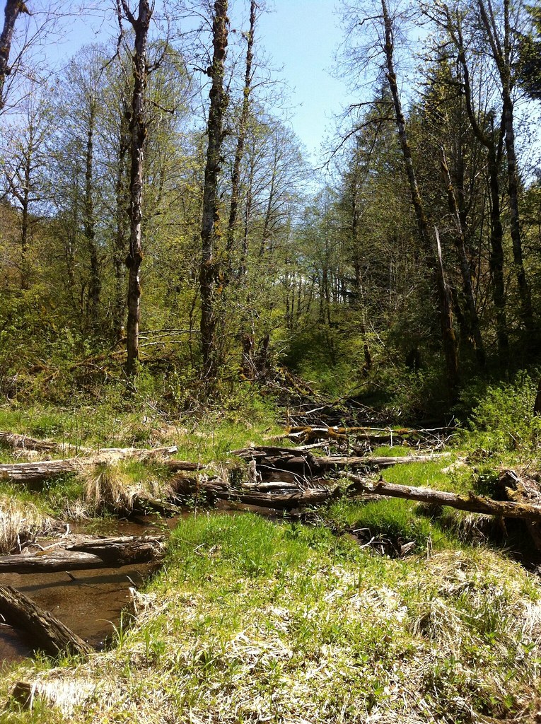
Barton Park Camping
Campground
Campground · 3.7 mi from the trail
Springwater Corridor is a mountain biking route in Oregon, sitting right at the edge of Boring, about 0.1 mile from town. It is a flat ride, with no elevation gain along the way, so it works well for a short outing or as a warm-up before heading farther afield. Summer is the most comfortable time to ride. Typical averages from a nearby weather station in Estacada show July and August highs in the low 80s with only four or five wet days a month, while winter brings highs in the upper 40s and rain on most days. Cazadero Trail is just 0.2 mile away for another ride. Within about five miles you'll find the Kelly Creek Greenway Trail for hiking, the Butler Buttes Trail, and the Hardscrabble Wall climbing area.
Barton Park Camping
Campground
 If it rainsIan Poellet, CC BY-SA 3.0 · Wikimedia Commons
Places © OpenStreetMap contributors · Photos: Ian Poellet, CC BY-SA 3.0 (commons)
More in Mount Hood VillagesNot on Roamze yet. Their page has how to reach them.
Best months: June–September. Best months have typical highs of 55–85 °F, lows of 30 °F or warmer (32 °F where the station doesn't record snow), at most one snowy day and no more than 12 wet days.
Jan
49° / 35°
20 wet
Feb
53° / 36°
18 wet
Mar
57° / 38°
20 wet
Apr
62° / 41°
18 wet
May
69° / 46°
15 wet
Jun
73° / 51°
11 wet
Jul
82° / 54°
5 wet
Aug
83° / 54°
4 wet
Sep
77° / 50°
9 wet
Oct
65° / 45°
15 wet
Nov
54° / 39°
19 wet
Dec
48° / 35°
21 wet
Typical high / low (°F) and days with rain or snow, 1991–2020. Measured at Estacada 2 Se, OR, 11.6 mi away at 514 ft. Source: NOAA NCEI U.S. Climate Normals 1991–2020.
RIDE
Springwater Corridor
Next door
0.13-mile out-and-back trail in Oregon with 8 ft elevation gain.
RIDE
Jim Slagle Loop Trail
~9 min drive
0.53-mile out-and-back singletrack with 284 ft gain in Oregon.
RIDE
Palmer
~20 min drive
0.62-mile hard singletrack in Washington with 122 ft of elevation gain.
RIDE
Heavy Nettle
~20 min drive
0.21-mile out-and-back singletrack in Oregon with 19 ft elevation gain
RIDE
Cazadero Trail
Next door
RIDE
Red Soil Roller
~21 min drive
0.44-mile easy singletrack out-and-back in Oregon with 90 ft gain.
RIDE
Red Tape
~20 min drive
0.6 mi · Hard
RIDE
Cazadero Trail
Next door
1.83-mile out-and-back gravel road trail in Oregon with 528 ft elevation gain.
RIDE
Shady Lane
~21 min drive
0.31-mile easy singletrack out-and-back with 59 ft gain in Oregon.
RIDE
Springwater Corridor
~1 min drive
0.77-mile out-and-back trail in Oregon with 37 ft of elevation gain.
Map and trail data © OpenStreetMap contributors