Camp Howard
Campground
Campground · 4.9 mi from the trail
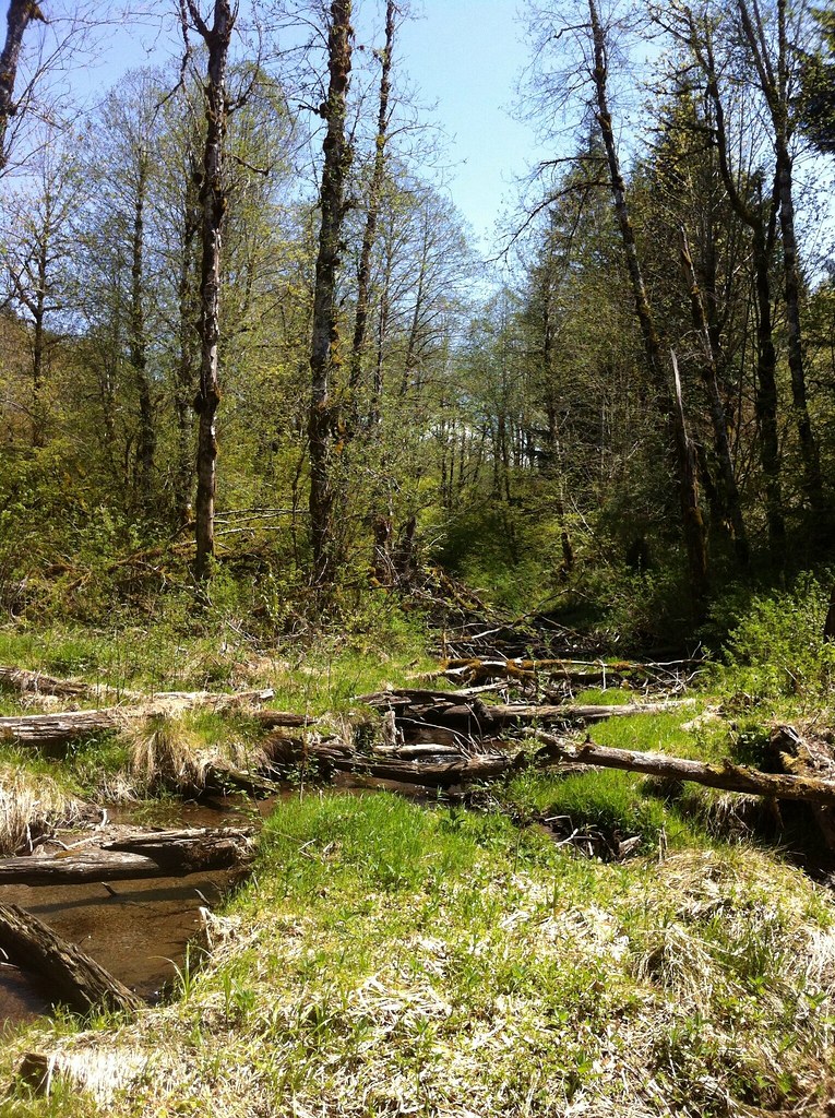
Jim Slagle Loop Trail is a short, easy mountain biking route in Sandy River Park, a city-managed park in Oregon. The trail is an out-and-back that covers about a mile of riding, with a total elevation gain of 229 feet from the low point at 568 feet to the high at 714 feet. The steepest stretch comes at about 0.38 miles in, with a 13% grade. Summer is the most comfortable time to ride. Typical averages from a nearby weather station show July and August highs in the upper 70s with only five or six wet days a month, while winter months bring highs in the low to mid 40s and rain on most days. The Sandy River Trail and Tickle Creek Trail are both within a mile, and Deep Creek offers canoeing about 4 miles away. Climbers can find Hardscrabble Wall roughly 9 miles off.
Camp Howard
Campground
Lighthouse Deli
Fast food
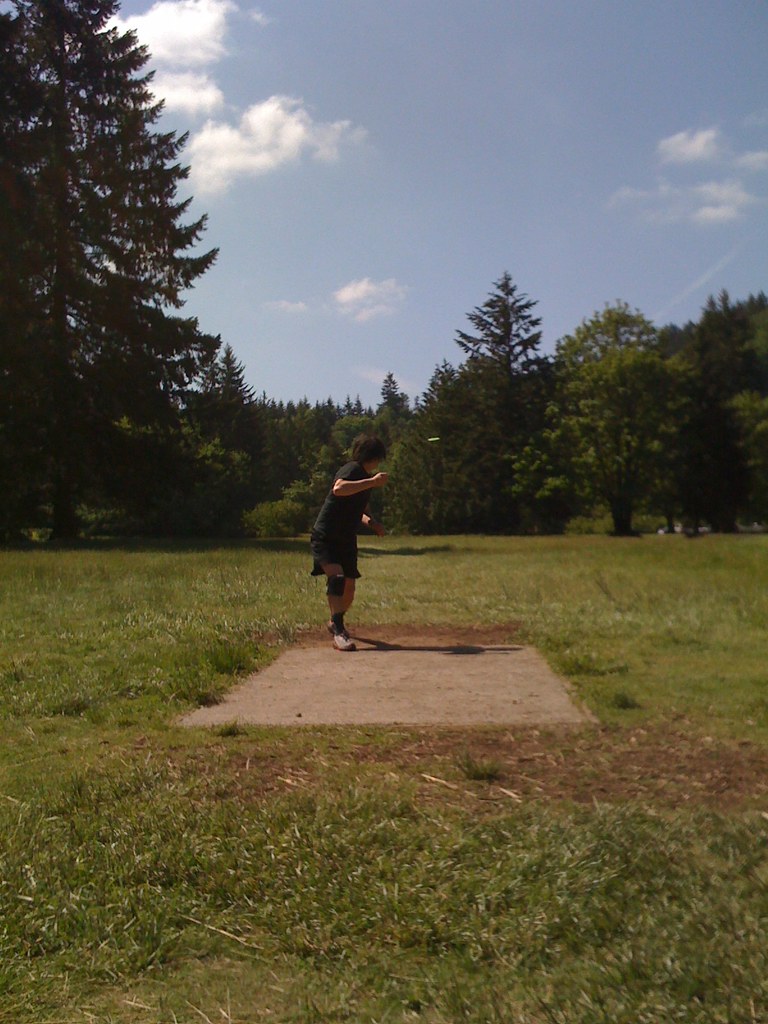
 If it rainsIan Poellet, CC BY-SA 3.0 · Wikimedia Commons
Places © OpenStreetMap contributors · Photos: Ian Poellet, CC BY-SA 3.0 (commons)
More in Mount Hood VillagesNot on Roamze yet. Their page has how to reach them.
Best months: June–September. Best months have typical highs of 55–85 °F, lows of 30 °F or warmer (32 °F where the station doesn't record snow), at most one snowy day and no more than 12 wet days.
Jan
44° / 35°
22 wet
Feb
47° / 36°
19 wet
Mar
52° / 37°
21 wet
Apr
57° / 40°
20 wet
May
64° / 46°
16 wet
Jun
69° / 50°
12 wet
Jul
77° / 54°
6 wet
Aug
78° / 54°
5 wet
Sep
72° / 51°
9 wet
Oct
60° / 45°
16 wet
Nov
49° / 40°
21 wet
Dec
43° / 35°
23 wet
Typical high / low (°F) and days with rain or snow, 1991–2020. Measured at Headworks Portland Wtr B, OR, 6.3 mi away at 748 ft. This station doesn't record snowfall. Source: NOAA NCEI U.S. Climate Normals 1991–2020.
 Photo: Šarūnas Burdulis from USA, CC BY-SA 2.0 (via Wikimedia Commons)
Multnomah Creek Way
~22 min drive
2.95-mile trail in Oregon's Waespe Point trail system with 1,050 ft of elevation gain.
RIDE
Palmer Mill Road
~18 min drive
1.83-mile easy out-and-back trail in Oregon with 1,396 ft elevation gain
 Photo: BFS Man from Webster, TX, USA, CC BY 2.0 (via Wikimedia Commons)
Vista Point
~23 min drive
0.69-mile trail at Cape Horn Trailhead with 700 ft elevation gain
 Photo: Ian Poellet, CC BY-SA 3.0 (via Wikimedia Commons)
Boulder Ridge Trail #783A
~23 min drive
1.44-mile trail in Oregon with 3,525 ft elevation gain
Photo: Šarūnas Burdulis from USA, CC BY-SA 2.0 (via Wikimedia Commons)Sherrard Point
~21 min drive
0.24-mile trail in Oregon's High valley Trailhead system, 107 ft elevation gain.
 Photo: Bureau of Land Management Oregon and Washington from Portland, America, Public domain (via Wikimedia Commons)
Ladee 800
~22 min drive
1.25-mile trail at Bedford Point with 395 ft elevation gain
RIDE
Cazadero Trail
~9 min drive
1.83-mile out-and-back gravel road trail in Oregon with 528 ft elevation gain.
RIDE
Cazadero Trail
~9 min drive
RIDE
Springwater Corridor
~9 min drive
0.13-mile out-and-back trail in Oregon with 8 ft elevation gain.
RIDE
Springwater Corridor
~9 min drive
Map and trail data © OpenStreetMap contributors