Devil's Half Acre Campground
Campground
Campground · 0.7 mi from the trail
Alert in the area
The Forest Service lists 5 alerts for Mt. Hood National Forest.
Tamanawas Falls Trail closed due to instability hazards
Agency alert covering Mt. Hood National Forest · USFS · Mt. Hood National Forest
Current fire closures on Mt. Hood National Forest
Agency alert covering Hood River Ranger District · USFS · Hood River Ranger District
Eagle Creek Fire Area Closures
Agency alert covering Mt. Hood National Forest · Order 06-22-01-26-04 · USFS · Mt. Hood National Forest
FR 4613 road damage- use caution
Agency alert covering Mt. Hood National Forest · USFS · Mt. Hood National Forest
Crane Creek bridge closed on the Barlow Road
Agency alert covering Mt. Hood National Forest · USFS · Mt. Hood National Forest
As of · Source: USFS · Mt. Hood National Forest. Agencies don't list every closure — check before you go.
Pct - Oregon Section G is a 53.6-mile point-to-point hike in Oregon's Mt. Hood National Forest, within the Hood River Ranger District. The route rises from a low point of 201 feet to a high of 6,085 feet, with a total elevation gain of 10,537 feet. The Forest Service manages the land, and the trail is rated easy. The hike is a long, steady climb. Horses are allowed, and bikes are not. The trip is estimated to take about 23 hours, so plan for a multi-day journey with overnight stops along the way. Near the start, Barlow Butte Trail #670 and Barlow Creek are both within a mile. Climbers can head to Section 3 and Trillium Lake Crag (Mosquito Butte), about 2.6 miles away. For camping, Trillium and Alpine Campground sit about 2.8 miles off.
Devil's Half Acre Campground
Campground
Places © OpenStreetMap contributors, Places © Overture Maps Foundation
More in Mount Hood VillagesNot on Roamze yet. Their page has how to reach them.
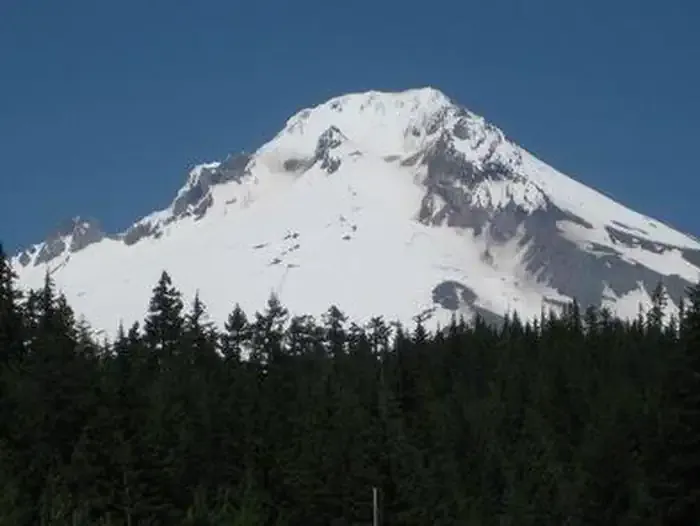 TrilliumCampingPhoto: Recreation.gov (RIDB) / public domain2.8 mi
 White RiverCanoeingPhoto: Cacophony, CC BY-SA 3.0 (via Wikimedia Commons)4.7 mi
 Salmon RiverCanoeingPhoto: EncMstr, CC BY-SA 3.0 (via Wikimedia Commons)6.2 mi
Source: Roamze catalog (indexable pages within 10 miles, PostGIS distance)
 Yellow Jacket Ski TrailHiking · ~4 min drivePhoto: U.S. Forest Service- Pacific Northwest Region, Public domain (via Wikimedia Commons)
 TRILLIUM LAKE WINTER LOOPHiking · ~4 min drivePhoto: Forest Service Pacific Northwest Region, Public Domain Mark (via Flickr)
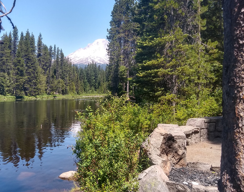 MUD CREEK LOOP NORDICHiking · ~5 min drivePhoto: mjfmjfmjf, CC BY 2.0 (via Flickr)Trillium Lake LoopHiking · ~5 min drivePhoto: mjfmjfmjf, CC BY 2.0 (via Flickr)
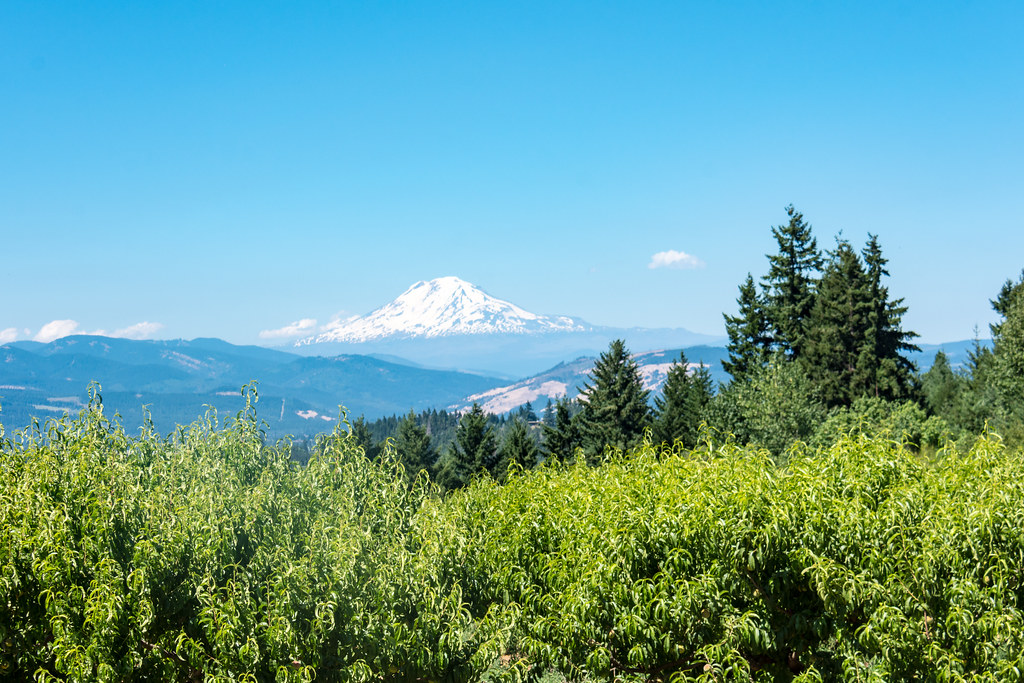 POCKET CREEK TIE NORDICHiking · ~5 min drivePhoto: m01229, CC BY-SA 2.0 (via Flickr)
 Blue BoxHiking · ~7 min drivePhoto: bgreenlee, CC BY 2.0 (via Flickr)
 Barlow Trail #601AHiking · ~5 min drivePhoto: OregonDOT, CC BY 2.0 (via Flickr)
 Optimator TrailHiking · ~5 min drivePhoto: Scott Cameron, CC BY 3.0 (via Wikimedia Commons)
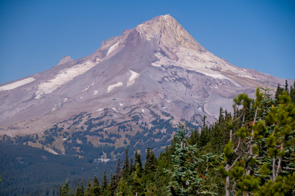 Gunsight ButteHiking · ~7 min drivePhoto: nomadsamiam, CC BY 2.0 (via Flickr)
Map and trail data © OpenStreetMap contributors

