Emigrant Lake Path
- 1.6 mi
- round trip
- 353 ft
- climb
- 2,280 ft
- high point
- Out and back
- route
- May–Jun, Sep–Oct
- best months
Emigrant Lake Path is a 3.22-mile out-and-back trail in Oregon with 353 feet of elevation gain and loss. The route reaches a maximum elevation of 2,280 feet.
Local outfitters
- Momentum River Expeditions7 mi away
- Ashland Family YMCA7 mi away
Not on Roamze yet. Their page has how to reach them.
- Ren WallRock climbing1.8 mi
- Aqua WallRock climbing1.8 mi
- Emigrant CreekCanoeing2.2 mi
- EastviewHiking2.6 mi
- Upper EastviewHiking2.8 mi
- Walker CreekCanoeing6.1 mi
- Mt AshlandCamping6.5 mi
 Hyatt Lake Recreation AreaCampingPhoto: Recreation.gov (RIDB) / public domain8.1 mi
Source: Roamze catalog (indexable pages within 10 miles, PostGIS distance)
 Marty'sHiking · ~7 min drivePhoto: kallahar, CC BY 3.0 (via Wikimedia Commons)
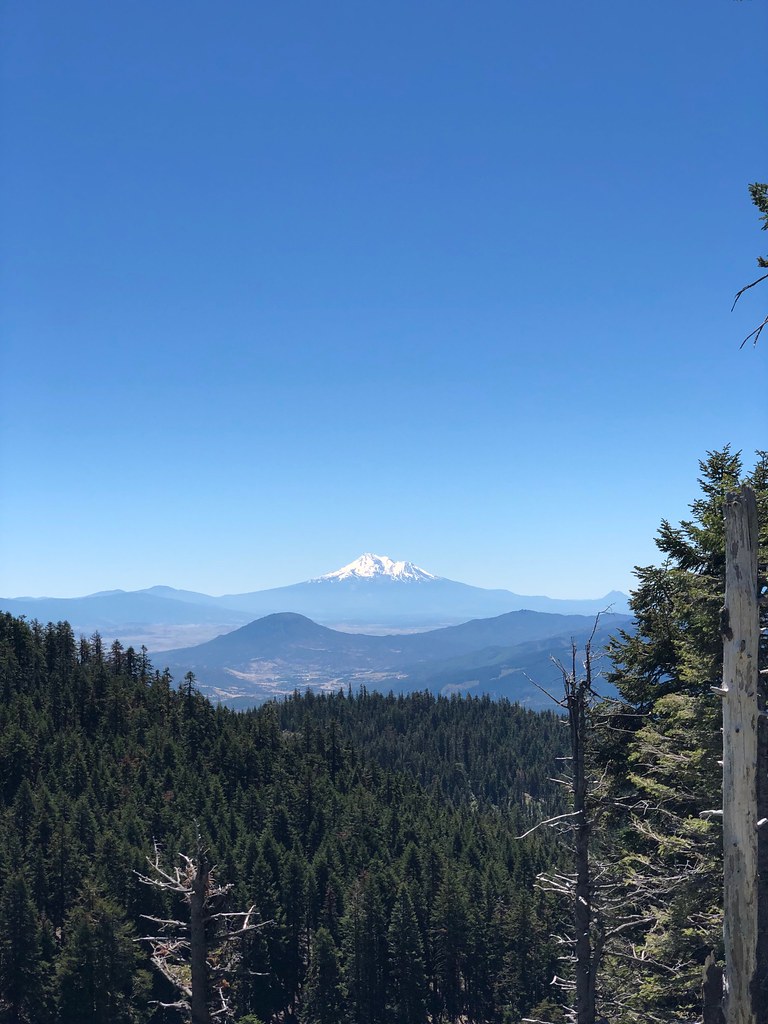 CREST LOOP NORDICHiking · ~10 min drivePhoto: zappowbang, CC BY-SA 2.0 (via Flickr)
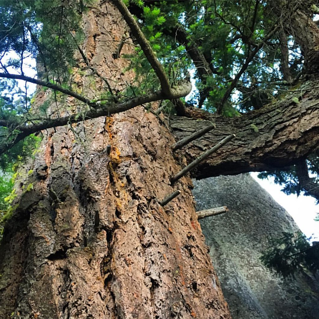 Pacific Crest National Scenic TrailHiking · ~10 min drivePhoto: gregor_y, CC BY-SA 2.0 (via Flickr)
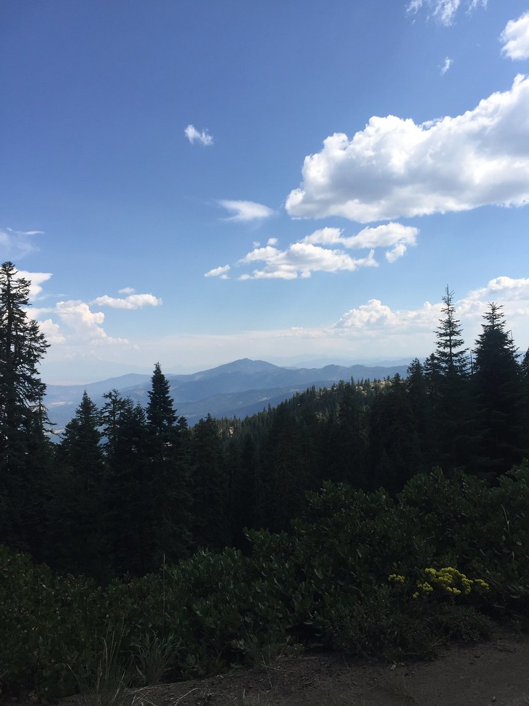 GROUSE CREEK NORDICHiking · ~11 min drivePhoto: zappowbang, CC BY-SA 2.0 (via Flickr)
- Marty's TieHiking · ~7 min drivePhoto: kallahar, CC BY 3.0 (via Wikimedia Commons)
- SummitHiking · ~10 min drivePhoto: zappowbang, CC BY-SA 2.0 (via Flickr)
- Bull GapHiking · ~6 min drive
 GyreHiking · ~8 min drivePhoto: U.S. Forest Service- Pacific Northwest Region, Public domain (via Wikimedia Commons)
 WonderHiking · ~10 min drivePhoto: kallahar, CC BY 3.0 (via Wikimedia Commons)
- CatwalkHiking · ~7 min drive
Also worth it near here
Best time to visit Emigrant Lake Path
Best months: May–June and September–October. Best months have typical highs of 55–85 °F, lows of 30 °F or warmer (32 °F where the station doesn't record snow), at most one snowy day and no more than 12 wet days.
Jan
49° / 30°
14 wet
Feb
54° / 30°
12 wet
Mar
58° / 32°
14 wet
Apr
63° / 35°
13 wet
May
71° / 41°
10 wet
Jun
79° / 46°
5 wet
Jul
88° / 51°
2 wet
Aug
87° / 49°
2 wet
Sep
81° / 43°
4 wet
Oct
68° / 36°
8 wet
Nov
54° / 33°
14 wet
Dec
47° / 29°
15 wet
Typical high / low (°F) and days with rain or snow, 1991–2020. Measured at Ashland, OR, 7.3 mi away at 1,729 ft. The station sits about 600 ft lower than this place, so expect it a little cooler here. This station doesn't record snowfall. Source: NOAA NCEI U.S. Climate Normals 1991–2020.


Map and trail data © OpenStreetMap contributors
