Emigrant Creek
- 13.4 mi
- distance
- 4,488 ft
- high point
- May–Oct
- best months
Emigrant Creek is a 13-mile paddling stretch near Ashland, Oregon, about 2.6 miles from Buckhorn Springs. It flows year-round, with an average flow of about 74 cubic feet per second and a gradient of about 186 feet per mile, according to USGS models. Summer is the most comfortable time to paddle. Typical averages from the Howard Prairie Dam weather station, about 12 miles away, show July and August highs near 79°F with only two or three wet days a month, while winter brings highs in the mid-30s and regular snow days. Several other outdoor spots sit close by. Emigrant Lake Path is about 2 miles away, and Aqua Wall and Ren Wall are climbing areas about 3 miles off. For an overnight stay, Hyatt Lake Recreation Area is roughly 6.5 miles away.
Local outfitters
- Noah's River Adventures9 mi away
- Momentum River Expeditions9 mi away
Not on Roamze yet. Their page has how to reach them.
- Emigrant Lake PathHiking2.2 mi
- Aqua WallRock climbing3 mi
- Ren WallRock climbing3.1 mi
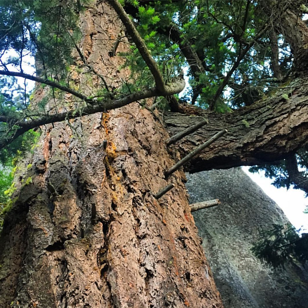 Pacific Crest National Scenic TrailHikingPhoto: gregor_y, CC BY-SA 2.0 (via Flickr)4.1 mi
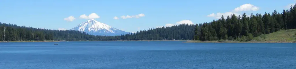 Hyatt Lake Recreation AreaCampingPhoto: Recreation.gov (RIDB) / public domain6.5 mi
- Keene CreekCanoeing6.8 mi
- Walker CreekCanoeing7.2 mi
- Mt AshlandCamping7.7 mi
Source: Roamze catalog (indexable pages within 10 miles, PostGIS distance)
 Bear CreekCanoeing · ~23 min drivePhoto: ZabMilenko at English Wikipedia, Public domain (via Wikimedia Commons)
- Cascade Boat Ramp & DockBoat launch · ~12 min drive
- Fourmile Lake CampgroundFloat trip · ~50 min drive
- Jackson Campground On The Applegate RiverStand up paddleboarding · ~45 min drive
 Klamath RiverCanoeing · ~26 min drivePhoto: Kid Cowboy, CC BY-SA 2.0 (via Wikimedia Commons)
- Mountain View Boat Ramp & DockBoat launch · ~12 min drive
- Juanita Lake Group CampsiteFloat trip · ~54 min drive
- HART-TISH PARK at APPLEGATE LAKEStand up paddleboarding · ~48 min drive
 Little Butte CreekCanoeing · ~46 min drivePhoto: An employee of the USDA Forest Service, Public domain (via Wikimedia Commons)
- Wildcat Boat RampBoat launch · ~13 min drive
Also worth it near here
- Bounds ReservoirLake fishing · ~6 min drive
- Green Springs Mountain LoopHiking · ~7 min drivePhoto: gregor_y, CC BY-SA 2.0 (via Flickr)
 Upper Missing LinkMountain biking · ~9 min drivePhoto: james shaw, CC BY-SA 3.0 (via Wikimedia Commons)
 Bull Gap-NordicCross-country skiing · ~11 min drivePhoto: james shaw, CC BY-SA 3.0 (via Wikimedia Commons)
Best time to visit Emigrant Creek
Best months: May–October. Best months have typical highs of 55–85 °F, lows of 30 °F or warmer (32 °F where the station doesn't record snow), at most one snowy day and no more than 12 wet days.
Jan
36° / 23°
15 wet · 9 snow
Feb
40° / 23°
14 wet · 8 snow
Mar
45° / 26°
16 wet · 8 snow
Apr
50° / 29°
13 wet · 4 snow
May
60° / 36°
11 wet · 1 snow
Jun
68° / 40°
5 wet
Jul
79° / 47°
3 wet
Aug
79° / 46°
2 wet
Sep
72° / 40°
4 wet
Oct
58° / 33°
8 wet · 1 snow
Nov
42° / 28°
13 wet · 5 snow
Dec
35° / 23°
15 wet · 9 snow
Typical high / low (°F) and days with rain or snow, 1991–2020. Measured at Howard Prairie Dam, OR, 12.4 mi away at 4,567 ft. Source: NOAA NCEI U.S. Climate Normals 1991–2020.
