Bull Gap
- 10.2 mi
- round trip
- 2,743 ft
- climb
- 6,575 ft
- high point
- Out and back
- route
Caution today
Agency alerts are in effect for this area; weather is marginal · USFS, OpenWeather · checked 6 h ago
Is Bull Gap open right now?
Closure in the area
There's a closure order in Siskiyou Mountains Ranger District. It doesn't name Bull Gap, so check the source for the area it covers.
Ashland Municipal Watershed Camping and Fire Prohibition
Agency closure covering Siskiyou Mountains Ranger District · Order 06-10-20-23-52 · USFS · Siskiyou Mountains Ranger District
As of · Source: USFS · Siskiyou Mountains Ranger District. Agencies don't list every closure — check before you go.
Bull Gap is a hard hike in the Siskiyou Mountains Ranger District of the Rogue River-Siskiyou National Forests in southern Oregon. The trail is an out-and-back of about 10 miles, with a one-way elevation gain of 1,609 feet. The route climbs from a low point of about 5,359 feet to a high point of about 6,575 feet, and the steepest section comes around the 3.3-mile mark with a grade of about 34 percent. The trail is open from June through October, and the trip is estimated to take about five hours. The Forest Service manages the land, and the route is natural-surface with no accessibility features. Both bikes and horses are allowed. Several other hikes sit close by. Upper Missing Link is just 0.1 mile away, and Corp Camp and Upper Eastview are each within a mile. For an overnight stay, Mt Ashland campground is about 3.4 miles off.
Local outfitters
- Momentum River Expeditions6 mi away
- Ashland Family YMCA6 mi away
Not on Roamze yet. Their page has how to reach them.
Keep exploring — more trails worth the drive
 Photo: kallahar, CC BY 3.0 (via Wikimedia Commons)
Marty's
~4 min drive
1.52-mile out-and-back trail in Oregon with 375 ft elevation gain.
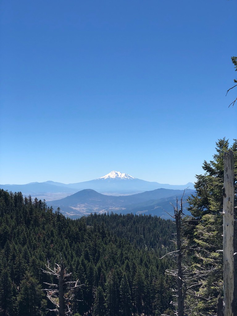 Photo: zappowbang, CC BY-SA 2.0 (via Flickr)
Summit
~5 min drive
1.68-mile out-and-back trail in Oregon with 1,185 ft gain
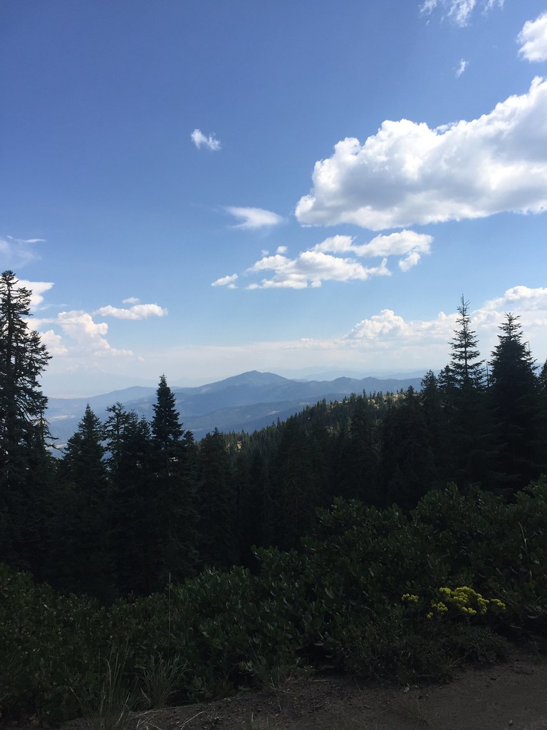 Photo: zappowbang, CC BY-SA 2.0 (via Flickr)
GROUSE CREEK NORDIC
~6 min drive
8.66-mile out-and-back trail in Oregon with 2,866 ft elevation gain/loss
Photo: kallahar, CC BY 3.0 (via Wikimedia Commons)Marty's Tie
~4 min drive
0.38-mile out-and-back trail in Oregon with 27 ft gain and 400 ft loss.
Photo: zappowbang, CC BY-SA 2.0 (via Flickr)CREST LOOP NORDIC
~6 min drive
4.32-mile out-and-back trail in Oregon with 1,166 ft elevation gain
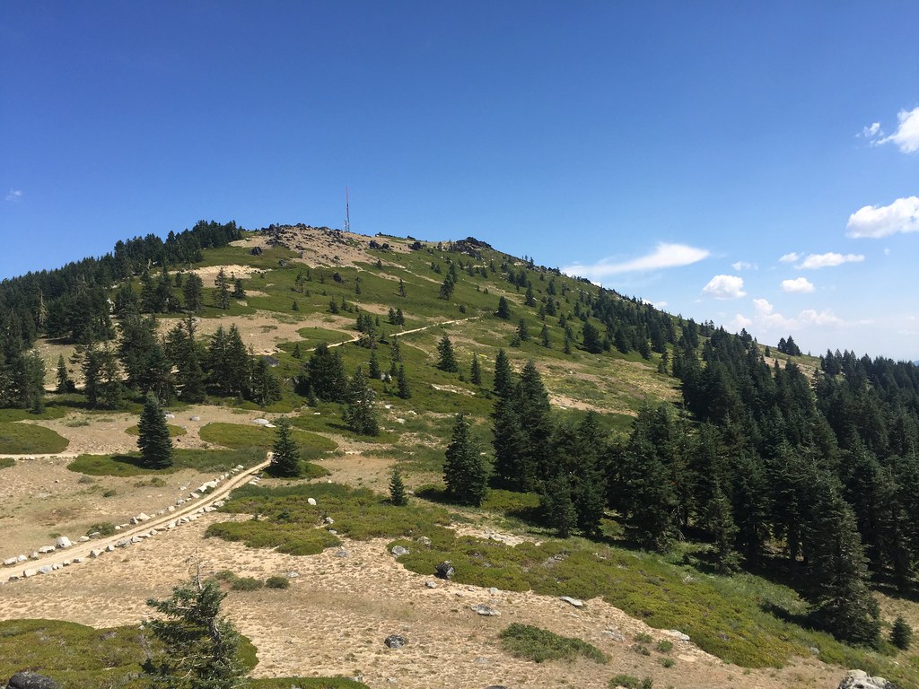 Photo: zappowbang, CC BY-SA 2.0 (via Flickr)
Split Rock
~8 min drive
6.22-mile out-and-back trail in Oregon with 880 ft elevation gain.
 Photo: U.S. Forest Service- Pacific Northwest Region, Public domain (via Wikimedia Commons)
Gyre
~5 min drive
1.74-mile out-and-back trail in Oregon with 415 ft elevation gain.
 Photo: zappowbang, CC BY-SA 2.0 (via Flickr)
SUMMIT NORDIC
~6 min drive
2.76-mile out-and-back trail in Oregon with 1,173 ft elevation gain/loss
HIKE
Catwalk
~4 min drive
2.34-mile out-and-back trail in Oregon with 1,589 ft gain.
Photo: kallahar, CC BY 3.0 (via Wikimedia Commons)Lewis Loops: Gimble
~6 min drive
0.45-mile out-and-back trail in Oregon with 382 ft gain.
Also worth it near here


