Marcy Dam Backcountry Campsites
Campground
Campground · < 0.1 mi from the trail
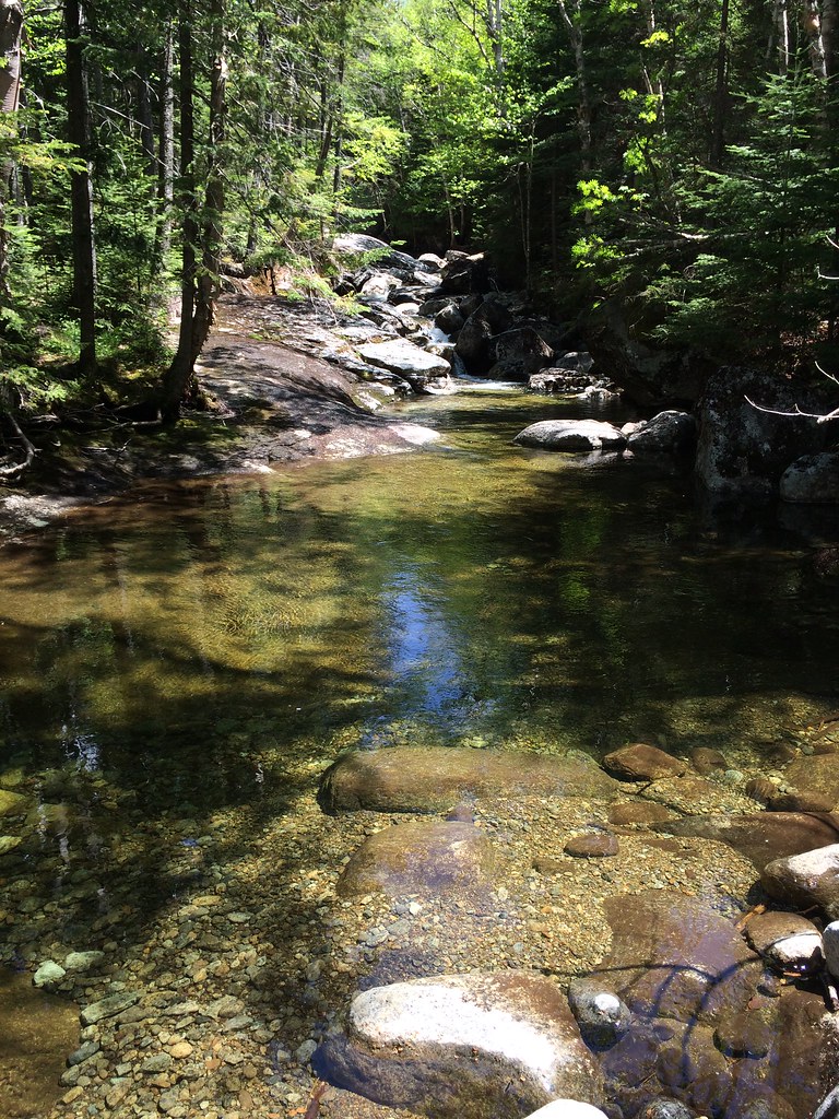
 Photo: drsmith7383, CC BY 2.0 (via Flickr)
The Van Hoevenberg Trail is a 7.1-mile point-to-point hike in New York's High Peaks Wilderness, managed by the State Department of Conservation. It rises from about 2,377 feet to a high point of 5,335 feet, with a total elevation gain of 2,279 feet. The route is rated moderate, and the climb is a significant one, with the trail also losing about 1,254 feet along the way. The trail starts at a lower elevation of about 2,377 feet and ends at the high point of 5,335 feet. It is a single route rather than a loop, and the climb is spread across the full length of the hike. Bikes and horses are not allowed. The trail sits within the High Peaks Wilderness, and the surrounding area is packed with other destinations. The Marcy Dam Truck Trail and Avalanche Pass Trail are both about 0.1 mile away, and the Phelps Mountain Trail is about 0.9 mile off. Climbers can head to Wright Peak, roughly 1.5 miles away.
Marcy Dam Backcountry Campsites
Campground
Loui's Place
Bar and grill restaurant
Schroon Lake view
Viewpoint
Places © OpenStreetMap contributors, Places © Overture Maps Foundation
More in Schroon LakeNot on Roamze yet. Their page has how to reach them.
Daily highs and lows, wind and the chance of precipitation at the summit and route start for the next 7 days, from the Open-Meteo model.
 Phelps Mountain TrailHikingPhoto: seabamirum, CC BY 2.0 (via Flickr)0.9 mi
 Mt ColdenRock climbingPhoto: jbylund, CC BY-SA 2.0 (via Flickr)2.1 mi
Source: Roamze catalog (indexable pages within 10 miles, PostGIS distance)
Marcy Dam Truck TrailHiking · Next doorPhoto: drsmith7383, CC BY 2.0 (via Flickr)Phelps Mountain TrailHiking · ~2 min drivePhoto: seabamirum, CC BY 2.0 (via Flickr)Lake Arnold TrailHiking · ~3 min drivePhoto: seabamirum, CC BY 2.0 (via Flickr) L. Morgan Porter TrailHiking · ~3 min drivePhoto: jbylund, CC BY-SA 2.0 (via Flickr)Tabletop Mountain TrailHiking · ~3 min drivePhoto: seabamirum, CC BY 2.0 (via Flickr)Avalanche Pass TrailHiking · ~3 min drivePhoto: jbylund, CC BY-SA 2.0 (via Flickr)
 Heart Lake LoopHiking · ~4 min drivePhoto: delaere, CC BY 2.0 (via Flickr)Mount Jo TrailsHiking · ~3 min drivePhoto: delaere, CC BY 2.0 (via Flickr)
 Wright TrailHiking · ~3 min drivePhoto: drsmith7383, CC BY 2.0 (via Flickr)
 Mr. Van Ski TrailHiking · ~4 min drivePhoto: runJMrun, CC BY 2.0 (via Flickr)
About 7.1 mi.
About 2,279 ft of climbing round trip.
It is rated moderate.
About 3.5 hours round trip.
2: Van Hoevenberg Trail and Mount Marcy Trail.
Map and trail data © OpenStreetMap contributors

