Marcy Dam Backcountry Campsites
Campground
Campground · 1.6 mi from the trail
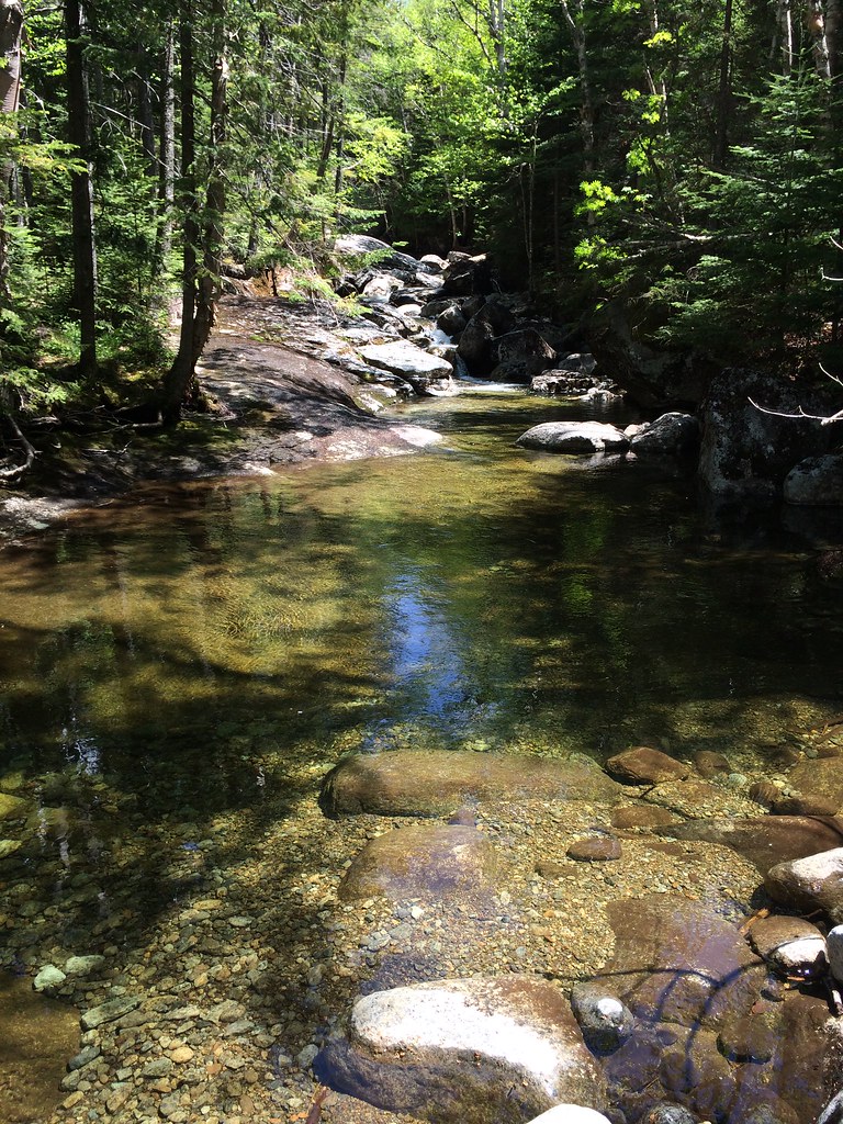 Photo: seabamirum, CC BY 2.0 (via Flickr)
Tabletop Mountain Trail is a 0.7-mile point-to-point hike in New York's High Peaks Wilderness, managed by the State Department of Conservation. It rises from about 3,630 feet to 4,422 feet, a climb of 790 feet, and the steepest stretch comes at about 0.35 miles, where the grade reaches 42 percent. The trail is short, and the trip takes about half an hour. It is a straightforward climb rather than a long route, and the high point sits at 4,422 feet. Bikes and horses are not allowed. The Indian Falls-Lake Arnold Crossover Trail starts just 0.1 mile away, and the Lake Arnold Trail and Phelps Mountain Trail are both within a mile. Climbers can head to Mt Colden, about 1.8 miles off.
Marcy Dam Backcountry Campsites
Campground
Schroon Lake view
Viewpoint
Places © OpenStreetMap contributors
More in Schroon LakeNot on Roamze yet. Their page has how to reach them.
Photo: seabamirum, CC BY 2.0 (via Flickr)Lake Arnold Trail
~1 min drive
2.92-mile point-to-point trail in New York with 580 ft gain.
Photo: seabamirum, CC BY 2.0 (via Flickr)Phelps Mountain Trail
~1 min drive
1.02-mile point-to-point hike in New York with 1,243 ft of elevation gain.
 Photo: jbylund, CC BY-SA 2.0 (via Flickr)
L. Morgan Porter Trail
~2 min drive
1.17-mile point-to-point trail in New York with 1,065 ft elevation gain.
 Photo: drsmith7383, CC BY 2.0 (via Flickr)
Van Hoevenberg Trail
~3 min drive
Scenic 7.66-mile point-to-point High Peaks trail with moderate elevation gain.
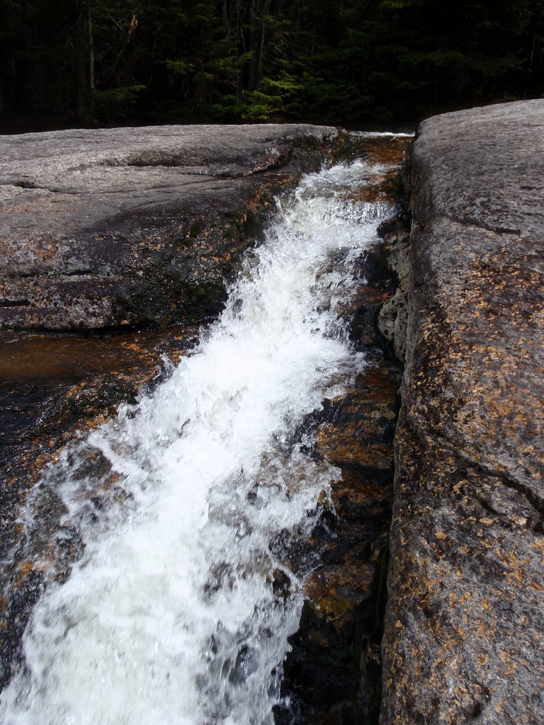 Photo: drsmith7383, CC BY 2.0 (via Flickr)
State Range Trail
~4 min drive
2.78-mile point-to-point hike in New York with 2,402 ft of elevation gain.
Photo: drsmith7383, CC BY 2.0 (via Flickr)Marcy Dam Truck Trail
~3 min drive
2.54-mile point-to-point trail in New York with 550 ft elevation loss
Photo: jbylund, CC BY-SA 2.0 (via Flickr)Avalanche Pass Trail
~3 min drive
3.57-mile point-to-point trail in New York with 1,395 ft gain
 Photo: runJMrun, CC BY 2.0 (via Flickr)
Mount Colden Trail
~5 min drive
1.36-mile point-to-point trail in New York with 1,972 ft elevation gain
Photo: drsmith7383, CC BY 2.0 (via Flickr)Shorey Short Cut Trail
~3 min drive
0.88-mile point-to-point trail in New York with 1000 ft elevation gain.
 Photo: A. Drauglis, CC BY-SA 2.0 (via Flickr)
Gray Peak Trail
~4 min drive
Gray Peak Trail is a 0.36-mile point-to-point trail in New York with 446 ft of elevation gain.
About 0.7 mi.
About 790 ft of climbing round trip.
It is rated hard.
About 0.5 hours round trip.
Daily highs and lows, wind and the chance of precipitation at the summit and route start for the next 7 days, from the Open-Meteo model.
Map and trail data © OpenStreetMap contributors

