Lake Colden Campground
Campground
Campground · < 0.1 mi from the trail
 Photo: runJMrun, CC BY 2.0 (via Flickr)
Mount Marcy Trail is a 4.1-mile point-to-point hike in New York's High Peaks Wilderness, managed by the State Department of Conservation. The trail rises from a low point of about 2,760 feet to the summit of Mount Marcy, which reaches 5,335 feet, with a total elevation gain of 2,508 feet. The climb is front-loaded, so the most of the ascent comes early in the route. The trail is moderate in difficulty, and it is not open to horses or bikes. A trip on foot takes about 2.5 hours, and the high point makes it a natural destination for a day of hiking in the High Peaks. Several other trails sit within a short distance. Herbert Brook Trail is about 0.2 miles away and Mount Colden Trail is about 0.4 miles away. Lake Colden Trail and the Algonquin Trail are both about half a mile off, and the Wallface climbing area is about 2.9 miles away.
Lake Colden Campground
Campground
Schroon Lake view
Viewpoint
Places © OpenStreetMap contributors
More in Schroon LakeNot on Roamze yet. Their page has how to reach them.
 Photo: runJMrun, CC BY 2.0 (via Flickr)
Herbert Brook Trail
Next door
Herbert Brook Trail is a 1.67-mile point-to-point trail in New York with 5,220 ft of elevation gain.
Photo: runJMrun, CC BY 2.0 (via Flickr)Mount Colden Trail
Next door
1.36-mile point-to-point trail in New York with 1,972 ft elevation gain
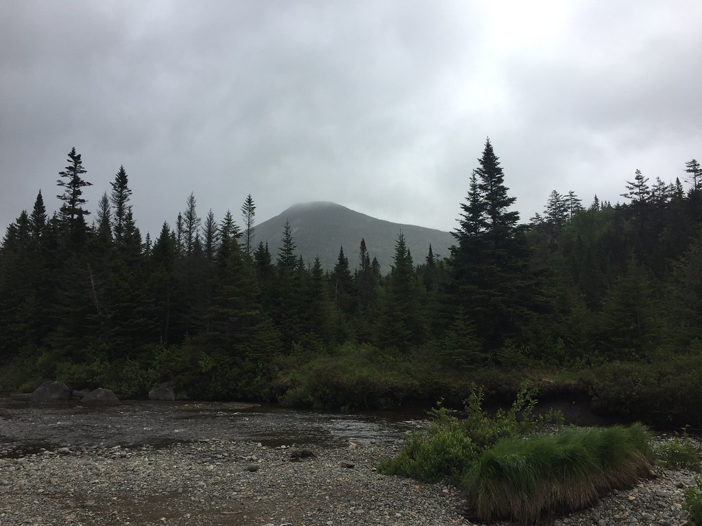 Photo: runJMrun, CC BY 2.0 (via Flickr)
Livingston Point Spur Trail
~2 min drive
0.49-mile out-and-back trail in New York with 109 ft of elevation gain.
 Photo: runJMrun, CC BY 2.0 (via Flickr)
Algonquin Trail
Next door
4.60-mile point-to-point trail in New York with 2,455 ft elevation gain.
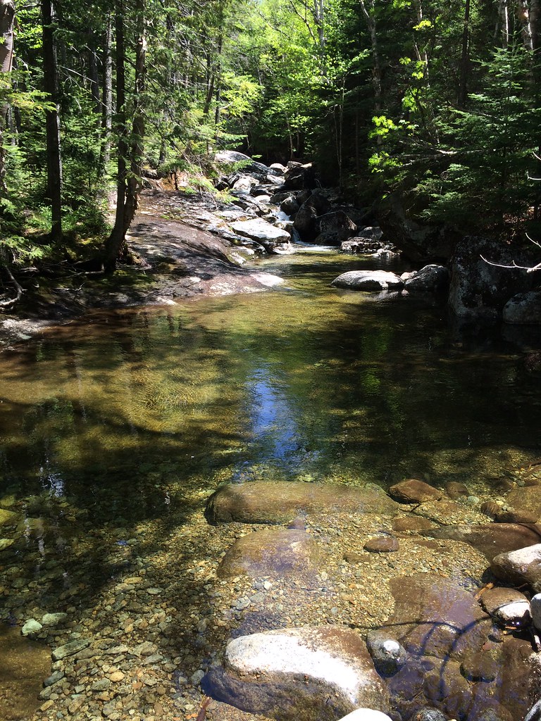 Photo: seabamirum, CC BY 2.0 (via Flickr)
Tabletop Mountain Trail
~5 min drive
0.70-mile point-to-point trail in New York with 784 ft elevation gain.
 Photo: jbylund, CC BY-SA 2.0 (via Flickr)
L. Morgan Porter Trail
~4 min drive
1.17-mile point-to-point trail in New York with 1,065 ft elevation gain.
Photo: runJMrun, CC BY 2.0 (via Flickr)Lake Colden Trail
Next door
0.94-mile point-to-point trail in New York with 273 ft gain.
Photo: seabamirum, CC BY 2.0 (via Flickr)Phelps Mountain Trail
~6 min drive
1.02-mile point-to-point hike in New York with 1,243 ft of elevation gain.
 Photo: A. Drauglis, CC BY-SA 2.0 (via Flickr)
Skylight Trail
~5 min drive
0.47-mile point-to-point trail in New York with 521 ft elevation loss
Photo: runJMrun, CC BY 2.0 (via Flickr)East River Trail
~1 min drive
Scenic 8.3-mile waterfront point-to-point along Manhattan's East River.
About 4.1 mi.
About 2,508 ft of climbing round trip.
It is rated moderate.
About 1.5 hours round trip.
2: Van Hoevenberg Trail and Mount Marcy Trail.
Daily highs and lows, wind and the chance of precipitation at the summit and route start for the next 7 days, from the Open-Meteo model.
Map and trail data © OpenStreetMap contributors

