Phelps Mountain Trail
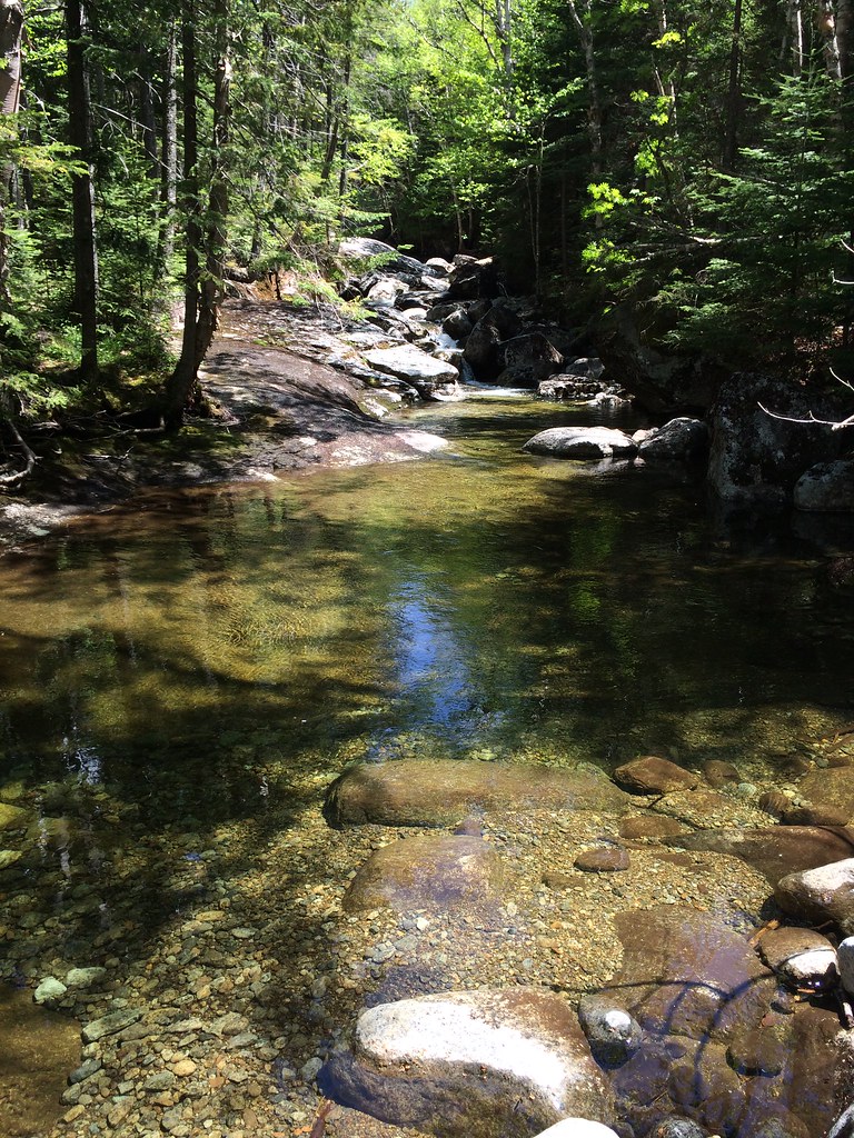 Photo: seabamirum, CC BY 2.0 (via Flickr)
- 1.0 mi
- one way
- 1,306 ft
- climb
- 4,160 ft
- high point
- Point to point
- route
Phelps Mountain Trail is a 1-mile point-to-point hike in New York's High Peaks Wilderness, managed by the State Department of Conservation. It rises from about 2,900 feet to 4,160 feet, a climb of 1,306 feet, and is rated hard. The route is steady, with the steepest stretch at 0.7 miles in, where the grade reaches 43%. The trail starts at a lower point of about 2,836 feet and ends at the high point of 4,160 feet. Bikes and horses are not allowed. The Van Hoevenberg Ski Trail lies about 0.3 miles away, and the Tabletop Mountain Trail and the Indian Falls-Lake Arnold Crossover Trail are each within a mile. Mt Colden, a climbing area, is about 2 miles off.
Keep exploring — more trails worth the drive
Photo: seabamirum, CC BY 2.0 (via Flickr)Tabletop Mountain Trail
~1 min drive
0.70-mile point-to-point trail in New York with 784 ft elevation gain.
 Photo: drsmith7383, CC BY 2.0 (via Flickr)
Van Hoevenberg Trail
~2 min drive
Scenic 7.66-mile point-to-point High Peaks trail with moderate elevation gain.
Photo: drsmith7383, CC BY 2.0 (via Flickr)Marcy Dam Truck Trail
~2 min drive
2.54-mile point-to-point trail in New York with 550 ft elevation loss
 Photo: delaere, CC BY 2.0 (via Flickr)
Mount Jo Trails
~5 min drive
Short point-to-point Adirondack summit hike with scenic views.
Photo: seabamirum, CC BY 2.0 (via Flickr)Lake Arnold Trail
~2 min drive
2.92-mile point-to-point trail in New York with 580 ft gain.
 Photo: jbylund, CC BY-SA 2.0 (via Flickr)
L. Morgan Porter Trail
~3 min drive
1.17-mile point-to-point trail in New York with 1,065 ft elevation gain.
 Photo: runJMrun, CC BY 2.0 (via Flickr)
Mount Colden Trail
~5 min drive
1.36-mile point-to-point trail in New York with 1,972 ft elevation gain
Photo: jbylund, CC BY-SA 2.0 (via Flickr)Avalanche Pass Trail
~3 min drive
3.57-mile point-to-point trail in New York with 1,395 ft gain
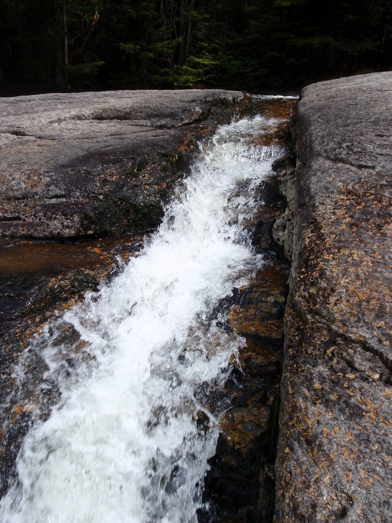 Photo: drsmith7383, CC BY 2.0 (via Flickr)
Shorey Short Cut Trail
~4 min drive
0.88-mile point-to-point trail in New York with 1000 ft elevation gain.
Photo: drsmith7383, CC BY 2.0 (via Flickr)State Range Trail
~5 min drive
2.78-mile point-to-point hike in New York with 2,402 ft of elevation gain.

Route details
- Distance
- 1.0 mi
- Climbing
- About 1,306 ft
- Summit
- 4,158 ft
- Difficulty
- Hard
- Time
- About 1 hour
Questions about this route
How long is the Phelps Mountain Trail on Phelps Mountain?
About 1.0 mi.
How much elevation gain is on the Phelps Mountain Trail?
About 1,306 ft of climbing round trip.
How hard is the Phelps Mountain Trail?
It is rated hard.
How long does the Phelps Mountain Trail take?
About 1 hour round trip.
Conditions and forecast on Phelps Mountain
Daily highs and lows, wind and the chance of precipitation at the summit and route start for the next 7 days, from the Open-Meteo model.
Map and trail data © OpenStreetMap contributors
