Marcy Dam Backcountry Campsites
Campground
Campground · 1.6 mi from the trail
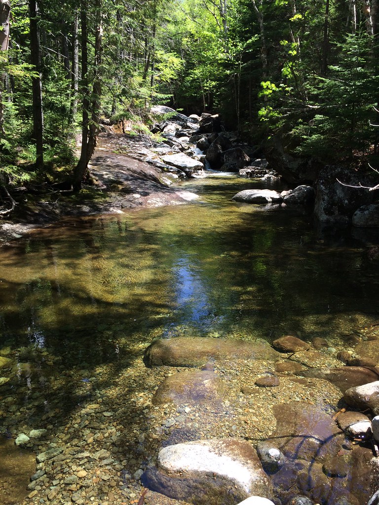 Photo: seabamirum, CC BY 2.0 (via Flickr)
Lake Arnold Trail is a moderate hike in New York's High Peaks Wilderness, managed by the State Department of Conservation. The trail is about 2.9 miles long, and the one-way climb from the starting point at 3,437 feet to the high point at 3,824 feet totals about 1,267 feet. The route also descends past the low point at 2,618 feet, so the total elevation change over the full trip is roughly 1,267 feet up and 1,465 feet down. Bikes and horses are not allowed on this trail, according to OpenStreetMap tags. That makes it a straightforward choice for hikers who plan to go on foot. Several other trails lie close by. The L. Morgan Porter Trail is about half a mile away, and the Indian Falls-Lake Arnold Crossover Trail and the Tabletop Mountain Trail are each about 0.6 miles off. Mt Colden, a climbing area, is about 1.2 miles from the trail.
Marcy Dam Backcountry Campsites
Campground
Schroon Lake view
Viewpoint
Places © OpenStreetMap contributors
More in Schroon LakeNot on Roamze yet. Their page has how to reach them.
 Photo: jbylund, CC BY-SA 2.0 (via Flickr)
L. Morgan Porter Trail
Next door
1.17-mile point-to-point trail in New York with 1,065 ft elevation gain.
Photo: seabamirum, CC BY 2.0 (via Flickr)Tabletop Mountain Trail
~1 min drive
0.70-mile point-to-point trail in New York with 784 ft elevation gain.
Photo: jbylund, CC BY-SA 2.0 (via Flickr)Avalanche Pass Trail
~2 min drive
3.57-mile point-to-point trail in New York with 1,395 ft gain
 Photo: drsmith7383, CC BY 2.0 (via Flickr)
Marcy Dam Truck Trail
~3 min drive
2.54-mile point-to-point trail in New York with 550 ft elevation loss
Photo: seabamirum, CC BY 2.0 (via Flickr)Phelps Mountain Trail
~2 min drive
1.02-mile point-to-point hike in New York with 1,243 ft of elevation gain.
Photo: drsmith7383, CC BY 2.0 (via Flickr)Van Hoevenberg Trail
~3 min drive
Scenic 7.66-mile point-to-point High Peaks trail with moderate elevation gain.
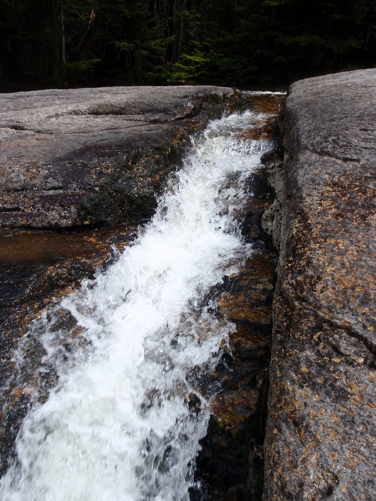 Photo: drsmith7383, CC BY 2.0 (via Flickr)
Shorey Short Cut Trail
~4 min drive
0.88-mile point-to-point trail in New York with 1000 ft elevation gain.
 Photo: runJMrun, CC BY 2.0 (via Flickr)
Mount Colden Trail
~4 min drive
1.36-mile point-to-point trail in New York with 1,972 ft elevation gain
 Photo: A. Drauglis, CC BY-SA 2.0 (via Flickr)
Gray Peak Trail
~3 min drive
Gray Peak Trail is a 0.36-mile point-to-point trail in New York with 446 ft of elevation gain.
Photo: A. Drauglis, CC BY-SA 2.0 (via Flickr)Skylight Trail
~4 min drive
0.47-mile point-to-point trail in New York with 521 ft elevation loss
Map and trail data © OpenStreetMap contributors

