
Mountain · 2 routes
Mount Marcy
5,338 ft · New York
Photo: Daniel Tripp, Public domain (via Wikimedia Commons)
- Summit
- 5,338 ft
- Routes
- 2 ways up
Routes up Mount Marcy
- Van Hoevenberg TrailModerateabout 2,279 ft of climbing7.1 miSee the route
- Mount Marcy TrailModerateabout 2,508 ft of climbing4.1 miSee the route
| Van Hoevenberg Trail | Mount Marcy Trail | |
|---|---|---|
| Climbing | About 2,279 ft | About 2,508 ft |
| Round trip | 7.1 mi | 4.1 mi |
| Difficulty | Moderate | Moderate |
| Terrain | Hike | Hike |
About Mount Marcy
Mount Marcy is a summit in New York, 5338 feet elevation. It is reached by the Van Hoevenberg Trail, a 7.06-mile trail with 2279 feet of elevation gain. Two public trails pass within 150 meters of the summit.
Forecast on Mount Marcy
Daily highs and lows, wind and the chance of precipitation at the summit and route start for the next 7 days, from the Open-Meteo model.
Questions about Mount Marcy
How tall is Mount Marcy?
5,338 ft (1,627 m).
How many routes go to the summit of Mount Marcy?
2: Van Hoevenberg Trail and Mount Marcy Trail.
What is the shortest route up Mount Marcy?
Mount Marcy Trail, about 4.1 mi.
Mountains nearby
 Gray Peak4,824 ft · New York1 route0.6 mi awayPhoto: Aepstein607 at English Wikipedia, CC BY-SA 3.0 (via Wikimedia Commons)
 Mount Skylight4,922 ft · New York1 route1.0 mi awayPhoto: Mld74 at English Wikipedia, Public domain (via Wikimedia Commons)
- Little Haystack4,703 ft · New York1 route1.2 mi away
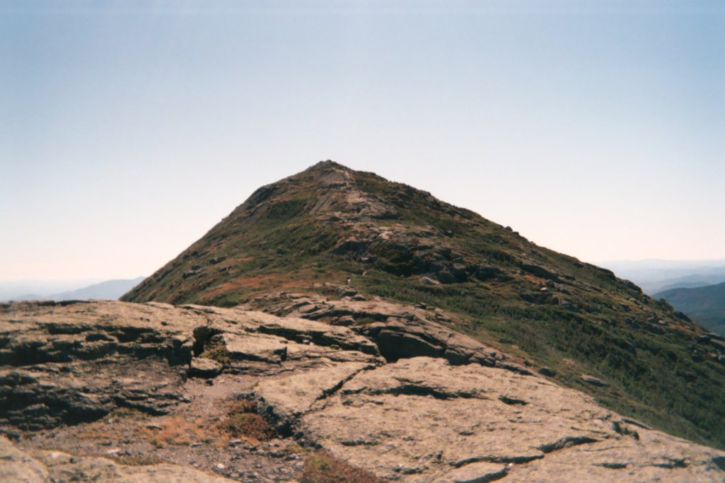 Mount Haystack4,942 ft · New York2 routes1.2 mi awayPhoto: (Daniel Tripp), Public domain (via Wikimedia Commons)
- Mount Redfield4,609 ft · New York1 route1.8 mi away
- Table Top Mountain4,423 ft · New York1 route1.9 mi away
Facts about this place
Nearby
 Elk Lake - Marcy TrailHikingPhoto: A. Drauglis, CC BY-SA 2.0 (via Flickr)0.6 mi
- Van Hoevenberg TrailCross-country skiing0.7 mi
- Gray Peak TrailHikingPhoto: A. Drauglis, CC BY-SA 2.0 (via Flickr)0.8 mi
- Panther GorgeRock climbing0.9 mi
 Mt ColdenRock climbingPhoto: jbylund, CC BY-SA 2.0 (via Flickr)2.1 mi
- AdirondacksRock climbing3.2 mi
- West Branch Ausable RiverCanoeing6.9 mi
- The BranchCanoeing9.7 mi
Source: Roamze catalog (indexable pages within 10 miles, PostGIS distance)
