Sno-bird
Campground
Campground · 2.5 mi from the trail
South Sawteeth Trail is a 2.3-mile moderate hike in New York, about 6.7 miles from the town of Saint Huberts. It is a point-to-point route, and the climb is back-loaded, with the steepest stretch at about 2.2 miles in. The trail rises from roughly 2,043 feet to 4,121 feet, a total gain of 2,089 feet. The route is not suited to bikes or horses, so plan on walking. The Carry Trail starts just 0.1 mile away, and the Haystack Brook Trail and Elevator Shaft Trail are both within about a mile and a half. Climbers can find the Adirondacks climbing area about 1.4 miles off.
Sno-bird
Campground
Schroon Lake view
Viewpoint
Places © OpenStreetMap contributors, Places © Overture Maps Foundation
More in Schroon LakeNot on Roamze yet. Their page has how to reach them.
Daily highs and lows, wind and the chance of precipitation at the summit and route start for the next 7 days, from the Open-Meteo model.
Source: Roamze catalog (indexable pages within 10 miles, PostGIS distance)
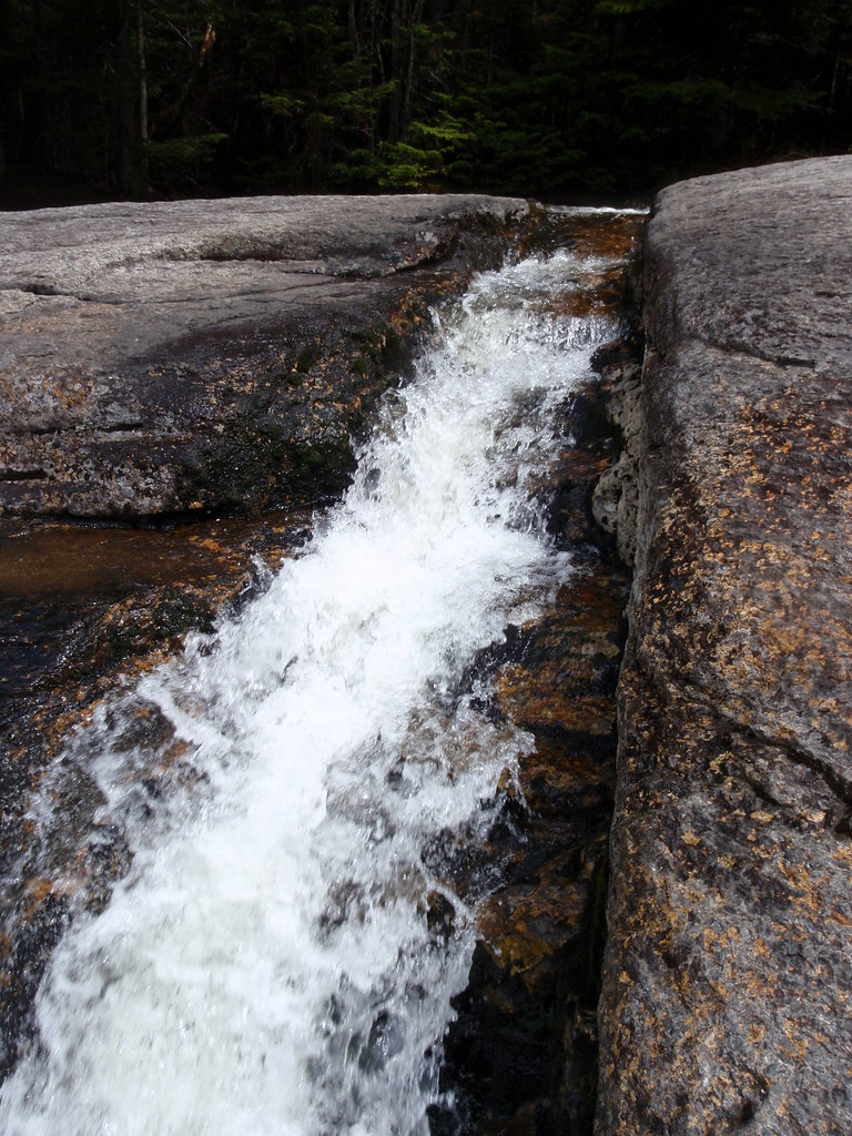 Haystack TrailHiking · ~4 min drivePhoto: drsmith7383, CC BY 2.0 (via Flickr)State Range TrailHiking · ~4 min drivePhoto: drsmith7383, CC BY 2.0 (via Flickr)
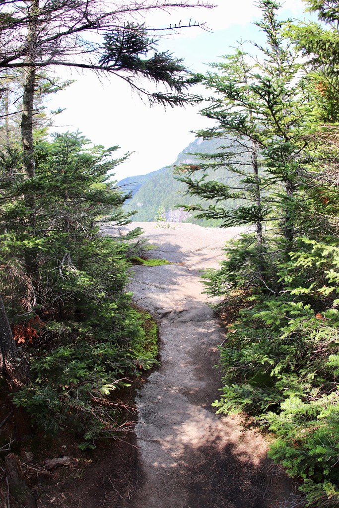 Indian Head Crossover TrailHiking · ~5 min drivePhoto: daveynin, CC BY 2.0 (via Flickr)
 Sawteeth TrailHiking · ~4 min drivePhoto: daveynin, CC BY 2.0 (via Flickr)Shorey Short Cut TrailHiking · ~6 min drivePhoto: drsmith7383, CC BY 2.0 (via Flickr)
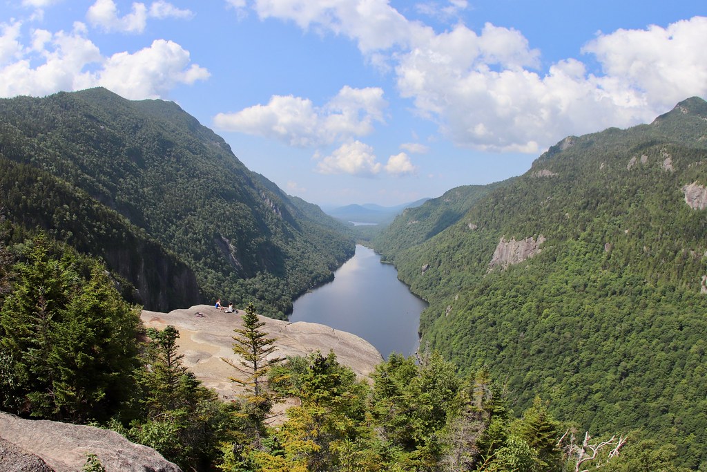 Colvin Range TrailHiking · ~4 min drivePhoto: daveynin, CC BY 2.0 (via Flickr)
 Gill Brook TrailHiking · ~6 min drivePhoto: daveynin, CC BY 2.0 (via Flickr)Elk Pass TrailHiking · ~4 min drivePhoto: daveynin, CC BY 2.0 (via Flickr)
 Skylight TrailHiking · ~6 min drivePhoto: A. Drauglis, CC BY-SA 2.0 (via Flickr)
About 2.3 mi.
About 2,089 ft of climbing round trip.
It is rated moderate.
About 2 hours round trip.
3: Sawteeth Trail, South Sawteeth Trail and Sawteeth Scenic Trail.
Map and trail data © OpenStreetMap contributors

