Kyle Canyon Picnic Area Day Use
Campground
The next 4 weekends are full on Recreation.gov
Closure in the area
There's a closure order in Humboldt-Toiyabe National Forest. It doesn't name LOVELL CANYON TRAIL, so check the source for the area it covers.
Elephant Fire Closure
Agency closure covering Humboldt-Toiyabe National Forest · Order 04-17-26-01-04 · USFS · Humboldt-Toiyabe National Forest
Area, Road, and Trail Closures (Spring Mountains National Recreation Area)
Agency alert covering Humboldt-Toiyabe National Forest · Order 04-17-25-04 · USFS · Humboldt-Toiyabe National Forest
Year-Round Fire Restrictions (Spring Mountains National Recreation Area)
Agency alert covering Humboldt-Toiyabe National Forest · Order 04-17-24-01 · USFS · Humboldt-Toiyabe National Forest
Vehicle Snow Chain Requirements during Inclement Weather (Spring Mountains National Recreation Area)
Agency alert covering Humboldt-Toiyabe National Forest · Order 04-17-23-01 · USFS · Humboldt-Toiyabe National Forest
Rainbow Canyon Flood Diversion Structure Closure (Spring Mountains National Recreation Area)
Agency alert covering Humboldt-Toiyabe National Forest · Order 04-17-15-01 · USFS · Humboldt-Toiyabe National Forest
As of · Source: USFS · Humboldt-Toiyabe National Forest. Agencies don't list every closure — check before you go.
Lovell Canyon Trail is an easy hike in Nevada's Spring Mountains National Recreation Area, part of the Humboldt-Toiyabe National Forest. The trail is about a mile long, with a round trip of about 1.2 miles and an elevation gain of about 90 feet. It starts at roughly 5,486 feet and reaches a high point of about 5,571 feet, so the climb is minimal, and the route works well for a short outing close to the trailhead. The trail is an out-and-back, and the climb is front-loaded, with the steepest section about 0.19 miles from the start. The grade there reaches about 6 percent, but the rest of the route is gentle. The trip is estimated to take about half an hour. Nearby, the North Peak Trail lies about 2.8 miles away and the Lovell Canyon Loop about 3.3 miles. Climbers can head to Red Rock Wash, about 4.1 miles off, and the Kyle Canyon Campground, about 9.2 miles away, offers a place to stay.
Kyle Canyon Picnic Area Day Use
Campground
Maria's Taco Shop
Fast food
Places © OpenStreetMap contributors
More in Sandy Valley Red Rock WashRock climbingPhoto: Ken Lund, CC BY-SA 2.0 (via Flickr)4.1 mi
 Icebox CanyonRock climbingPhoto: Jarek Tuszyński, CC BY-SA 4.0 (via Wikimedia Commons)4.3 mi
 WobbleRock climbingPhoto: Jarek Tuszyński, CC BY-SA 4.0 (via Wikimedia Commons)4.3 mi
Source: Roamze catalog (indexable pages within 10 miles, PostGIS distance)
 Lost Creek TrailHiking · ~8 min drivePhoto: lgoub, CC BY 2.0 (via Flickr)White Rock LoopHiking · ~8 min drivePhoto: lgoub, CC BY 2.0 (via Flickr)
 White Rock - Willow Spring TrailHiking · ~8 min drivePhoto: a200/a77Wells, CC BY 2.0 (via Flickr)Willlow Springs LoopHiking · ~8 min drivePhoto: lgoub, CC BY 2.0 (via Flickr)
 Grand Circle TrailHiking · ~8 min drivePhoto: joannapoe, CC BY-SA 2.0 (via Flickr)
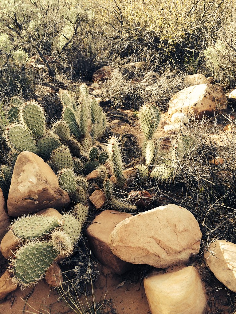 Dale'S TrailHiking · ~9 min drivePhoto: BLM Nevada, CC BY 2.0 (via Flickr)
 SmycHiking · ~8 min drivePhoto: cifraser1, CC BY 2.0 (via Flickr)
 Escarpment BaseHiking · ~9 min drivePhoto: Sean Williams 297, CC BY 2.0 (via Flickr)
 Pine Creek TrailHiking · ~8 min drivePhoto: christie_verbose, CC BY 2.0 (via Flickr)

