Red Rock Canyon Campground
Campground
Sites open the weekend of Nov 6 on Recreation.gov
 Photo: christie_verbose, CC BY 2.0 (via Flickr)
Pine Creek Trail is an easy hike on Bureau of Land Management land in Nevada's Red Rock/Sloan Field Office, about 3 miles long with a total elevation gain of 168 feet. The trail runs out and back between a low point of about 3,945 feet and a high of about 4,130 feet, making it a short, low-effort outing. Spring and fall are the most comfortable times to go. Typical averages from a nearby weather station show April highs around 70°F and October highs around 75°F, while July and August average in the mid-90s. The trail sits right next to a cluster of climbing and hiking spots. Magic Mountain and Straight Shooter Wall are both about 0.3 miles away, and Dale's Trail is about the same distance. Red Rock Canyon Campground, about 5.6 miles off, is the closest place to camp.
Red Rock Canyon Campground
Campground
Maria's Taco Shop
Fast food
Places © OpenStreetMap contributors
More in Sandy ValleyBest months: February–May and October–November. Best months have typical highs of 55–85 °F, lows of 30 °F or warmer (32 °F where the station doesn't record snow), at most one snowy day and no more than 12 wet days.
Jan
53° / 32°
4 wet
Feb
56° / 35°
5 wet
Mar
64° / 41°
4 wet
Apr
70° / 47°
2 wet
May
80° / 56°
1 wet
Jun
90° / 66°
1 wet
Jul
95° / 73°
2 wet
Aug
94° / 72°
2 wet
Sep
87° / 62°
2 wet
Oct
75° / 50°
2 wet
Nov
62° / 38°
2 wet
Dec
52° / 31°
3 wet
Typical high / low (°F) and days with rain or snow, 1991–2020. Measured at Red Rock Canyon - Spg Mt Rch S, NV, 4 mi away at 3,780 ft. This station doesn't record snowfall. Source: NOAA NCEI U.S. Climate Normals 1991–2020.
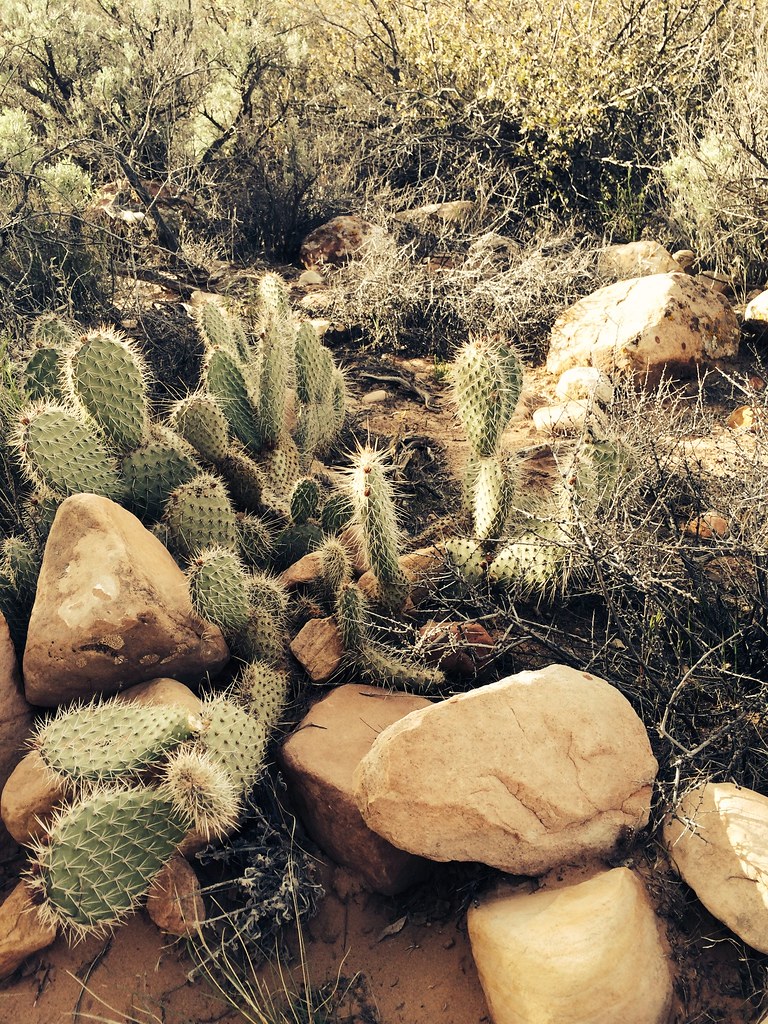 Photo: BLM Nevada, CC BY 2.0 (via Flickr)
Dale'S Trail
Next door
4.14-mile out-and-back hike in Nevada with 422 ft gain.
 Photo: joannapoe, CC BY-SA 2.0 (via Flickr)
Arnight Trail
~2 min drive
2.24-mile out-and-back trail in Nevada with 150 ft elevation gain.
 Photo: joannapoe, CC BY-SA 2.0 (via Flickr)
Grand Circle Trail
~4 min drive
11.51-mile out-and-back hike in Nevada with 817 ft elevation gain.
 Photo: joannapoe, CC BY-SA 2.0 (via Flickr)
Unnamed BLM Trail
~1 min drive
2.73-mile out-and-back trail in Nevada with 244 ft gain
 Photo: Sean Williams 297, CC BY 2.0 (via Flickr)
N Oak Creek Canyon
~3 min drive
2.60-mile out-and-back trail in Nevada with 57 ft elevation gain.
 Photo: lgoub, CC BY 2.0 (via Flickr)
White Rock Loop
~5 min drive
6.06-mile out-and-back trail in Nevada with 1,288 ft elevation gain.
Photo: Sean Williams 297, CC BY 2.0 (via Flickr)Escarpment Base
~2 min drive
4.81-mile out-and-back trail in Nevada with 515 ft elevation gain.
 Photo: cifraser1, CC BY 2.0 (via Flickr)
Smyc
~3 min drive
1.98-mile out-and-back trail in Nevada with 242 ft elevation gain.
Photo: Sean Williams 297, CC BY 2.0 (via Flickr)Knoll
~2 min drive
Knoll is a 3.57-mile out-and-back trail in Nevada with 138 ft of elevation gain.
 Photo: David Balmer, CC BY 3.0 (via Wikimedia Commons)
Ice Box Canyon
~3 min drive
2.19-mile out-and-back trail in Nevada with 377 ft elevation gain.


