Kyle Canyon Picnic Area Day Use
Campground
The next 8 weekends are full on Recreation.gov
Closure in the area
There's a closure order in Humboldt-Toiyabe National Forest. It doesn't name Griffith Shadow Trail, so check the source for the area it covers.
Elephant Fire Closure
Agency closure covering Humboldt-Toiyabe National Forest · Order 04-17-26-01-04 · USFS · Humboldt-Toiyabe National Forest
Area, Road, and Trail Closures (Spring Mountains National Recreation Area)
Agency alert covering Humboldt-Toiyabe National Forest · Order 04-17-25-04 · USFS · Humboldt-Toiyabe National Forest
Year-Round Fire Restrictions (Spring Mountains National Recreation Area)
Agency alert covering Humboldt-Toiyabe National Forest · Order 04-17-24-01 · USFS · Humboldt-Toiyabe National Forest
Vehicle Snow Chain Requirements during Inclement Weather (Spring Mountains National Recreation Area)
Agency alert covering Humboldt-Toiyabe National Forest · Order 04-17-23-01 · USFS · Humboldt-Toiyabe National Forest
Rainbow Canyon Flood Diversion Structure Closure (Spring Mountains National Recreation Area)
Agency alert covering Humboldt-Toiyabe National Forest · Order 04-17-15-01 · USFS · Humboldt-Toiyabe National Forest
As of · Source: USFS · Humboldt-Toiyabe National Forest. Agencies don't list every closure — check before you go.
Griffith Shadow Trail is an 8.6-mile out-and-back hike in the La Madre Mountain Wilderness, part of the Spring Mountains National Recreation Area within the Humboldt-Toiyabe National Forest in Nevada. The Forest Service manages the land, and the trail is rated hard, with a one-way elevation gain of 697 feet from a low point of about 6,427 feet to a high of about 7,148 feet. The trail is on natural surface, and horses are allowed. Bikes are not. Summer is the most comfortable time to go. Typical averages from a nearby weather station at Mt Charleston show July highs around 79°F with lows near 52°F, while winter highs sit in the mid-40s. Schaefer Springs Loop and Lovell Canyon Loop both start within about half a mile. Climbers can head to The Promised Land, about 4.4 miles away, and Kyle Canyon Campground is about 5.6 miles off.
Kyle Canyon Picnic Area Day Use
Campground
Maria's Taco Shop
Fast food
Places © OpenStreetMap contributors
More in Sandy ValleyBest months: May–October. Best months have typical highs of 55–85 °F, lows of 30 °F or warmer (32 °F where the station doesn't record snow), at most one snowy day and no more than 12 wet days.
Jan
44° / 22°
6 wet
Feb
44° / 22°
6 wet
Mar
49° / 26°
6 wet
Apr
55° / 30°
4 wet
May
63° / 37°
4 wet
Jun
74° / 46°
2 wet
Jul
79° / 52°
5 wet
Aug
78° / 52°
6 wet
Sep
72° / 44°
4 wet
Oct
62° / 35°
3 wet
Nov
51° / 27°
4 wet
Dec
44° / 21°
5 wet
Typical high / low (°F) and days with rain or snow, 1991–2020. Measured at Mt Charleston Fire Stn, NV, 5.9 mi away at 7,460 ft. This station doesn't record snowfall. Source: NOAA NCEI U.S. Climate Normals 1991–2020.
 Photo: a200/a77Wells, CC BY 2.0 (via Flickr)
White Rock - Willow Spring Trail
~9 min drive
5.80-mile out-and-back trail in Nevada with 545 ft elevation gain.
Photo: a200/a77Wells, CC BY 2.0 (via Flickr)La Madre Spring Trail
~9 min drive
1.30-mile lollipop trail in Nevada with 285 ft elevation gain.
 Photo: lgoub, CC BY 2.0 (via Flickr)
White Rock Loop
~10 min drive
6.06-mile out-and-back trail in Nevada with 1,288 ft elevation gain.
 Photo: stevelyon, CC BY-SA 2.0 (via Flickr)
Stanley B Springs Trail
~10 min drive
2.46-mile out-and-back hike in Nevada with 1,122 ft elevation gain
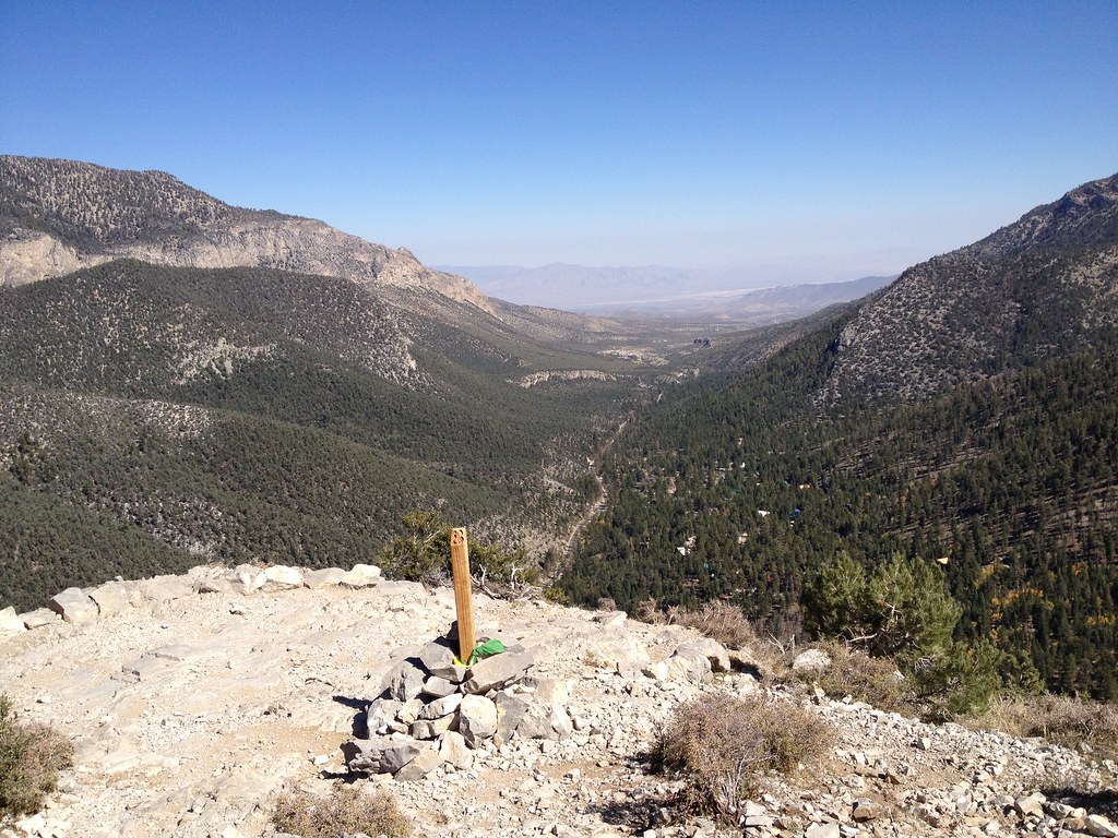 Photo: christie_verbose, CC BY 2.0 (via Flickr)
Cathedral Rock
~10 min drive
Easy loop trail featuring Cathedral Rock formations in Nevada.
 Photo: joannapoe, CC BY-SA 2.0 (via Flickr)
Grand Circle Trail
~11 min drive
11.51-mile out-and-back hike in Nevada with 817 ft elevation gain.
Photo: stevelyon, CC BY-SA 2.0 (via Flickr)Eagle's Nest
~10 min drive
3.60-mile out-and-back trail in Nevada with 182 ft gain.
 Photo: christie_verbose, CC BY 2.0 (via Flickr)
Little Falls (upper)
~10 min drive
0.7-mile out-and-back trail at Little Falls (upper) in Nevada with 388 ft of elevation gain
 Photo: Ken Lund, CC BY-SA 2.0 (via Flickr)
Trail Canyon
~11 min drive
3.91-mile out-and-back trail in Nevada with 1,527 ft elevation gain.
Photo: stevelyon, CC BY-SA 2.0 (via Flickr)Fletcher Canyon
~10 min drive
2.20-mile out-and-back trail in Fletcher Canyon, Nevada with 744 ft gain.


