Red Rock Canyon Campground
Campground
Sites open the weekend of Nov 13 on Recreation.gov
 Photo: lgoub, CC BY 2.0 (via Flickr)
White Rock Loop is a 12.1-mile out-and-back hike in Nevada's Red Rock/Sloan Field Office, managed by the Bureau of Land Management. The route starts at an elevation of about 4,566 feet and climbs steadily to a high point of 5,462 feet, with a total elevation gain of 2,427 feet for the round trip. The most demanding stretch comes around mile 2.2, where the grade reaches about 20 percent. The loop is a serious climb, rated hard, and takes about five hours to complete. The trail makes a full loop, with the climb and descent each about 12 miles. The route's steady, continuous rise sets it apart from shorter hikes in the area. Climbers will find several bouldering areas right at the trailhead, including Shit House Boulder and Big Brown Boulder (aka Brown Round), each about 0.1 mile away. Lost Creek Trail is 0.3 mile off, and Grand Circle Trail is 0.6 mile away. For an overnight base, Red Rock Canyon Campground is about 6.8 miles from the trail.
Red Rock Canyon Campground
Campground
Maria's Taco Shop
Fast food
Places © OpenStreetMap contributors
More in Sandy ValleyPhoto: lgoub, CC BY 2.0 (via Flickr)Lost Creek Trail
Next door
0.67-mile out-and-back hike in Nevada with 39 ft gain.
 Photo: joannapoe, CC BY-SA 2.0 (via Flickr)
Grand Circle Trail
~1 min drive
11.51-mile out-and-back hike in Nevada with 817 ft elevation gain.
 Photo: Tom Hilton, CC BY 2.0 (via Flickr)
Turtlehead Peak
~5 min drive
4.39-mile out-and-back hike to Turtlehead Peak in Nevada with 1,627 ft gain.
Photo: lgoub, CC BY 2.0 (via Flickr)Willlow Springs Loop
Next door
0.31-mile out-and-back trail in Nevada with 182 ft elevation gain.
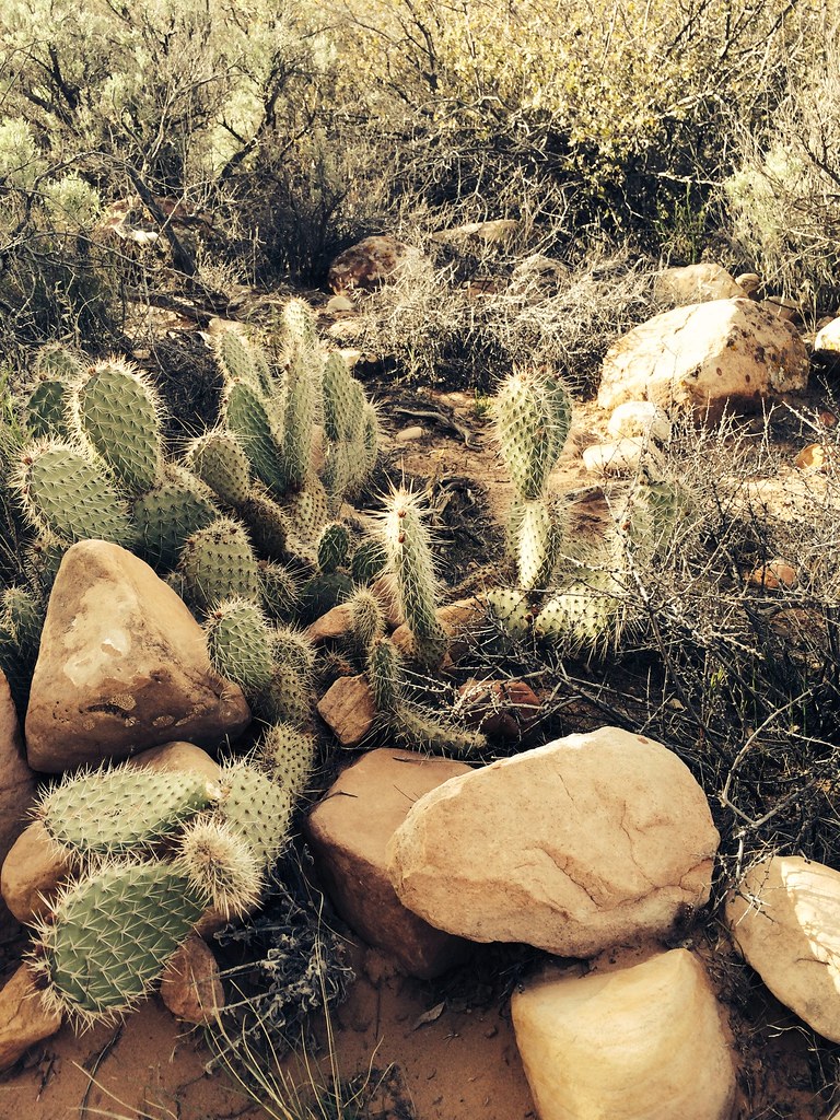 Photo: BLM Nevada, CC BY 2.0 (via Flickr)
Dale'S Trail
~5 min drive
4.14-mile out-and-back hike in Nevada with 422 ft gain.
 Photo: David Balmer, CC BY 3.0 (via Wikimedia Commons)
Ice Box Canyon
~2 min drive
2.19-mile out-and-back trail in Nevada with 377 ft elevation gain.
 Photo: joannapoe, CC BY-SA 2.0 (via Flickr)
Unnamed BLM Trail
~5 min drive
2.73-mile out-and-back trail in Nevada with 244 ft gain
 Photo: cifraser1, CC BY 2.0 (via Flickr)
Smyc
~2 min drive
1.98-mile out-and-back trail in Nevada with 242 ft elevation gain.
 Photo: joannapoe, CC BY-SA 2.0 (via Flickr)
Calico Hills Trail
~6 min drive
3.53-mile lollipop trail in Nevada with 712 ft elevation gain.
 Photo: a200/a77Wells, CC BY 2.0 (via Flickr)
La Madre Spring Trail
~2 min drive
1.30-mile lollipop trail in Nevada with 285 ft elevation gain.
Map and trail data © OpenStreetMap contributors

