Greys Creek
- 0.7 mi
- round trip
- 736 ft
- climb
- 8,666 ft
- high point
- Out and back
- route
Is GREYS CREEK open right now?
Closure in the area
There's a closure order in Humboldt-Toiyabe National Forest. It doesn't name GREYS CREEK, so check the source for the area it covers.
Elephant Fire Closure
Agency closure covering Humboldt-Toiyabe National Forest · Order 04-17-26-01-04 · USFS · Humboldt-Toiyabe National Forest
Road Closure for Construction Work (Mountain City-Ruby Mountains-Jarbidge Ranger District)
Agency alert covering Mountain City-Ruby Mountains-Jarbidge Ranger District · Order 04-17-26-06-04 · USFS · Mountain City-Ruby Mountains-Jarbidge Ranger District
Area, Road, and Trail Closures (Spring Mountains National Recreation Area)
Agency alert covering Humboldt-Toiyabe National Forest · Order 04-17-25-04 · USFS · Humboldt-Toiyabe National Forest
Year-Round Fire Restrictions (Spring Mountains National Recreation Area)
Agency alert covering Humboldt-Toiyabe National Forest · Order 04-17-24-01 · USFS · Humboldt-Toiyabe National Forest
Vehicle Snow Chain Requirements during Inclement Weather (Spring Mountains National Recreation Area)
Agency alert covering Humboldt-Toiyabe National Forest · Order 04-17-23-01 · USFS · Humboldt-Toiyabe National Forest
As of · Source: USFS · Humboldt-Toiyabe National Forest. Agencies don't list every closure — check before you go.
Greys Creek is a short, easy out-and-back hike in Nevada's East Humboldts Wilderness, within the Mountain City-Ruby Mountains-Jarbidge Ranger District of the Humboldt-Toiyabe National Forest. The trail is managed by the Forest Service and starts at about 7,930 feet, rising to a high point of 8,666 feet with a total elevation gain of 736 feet. The climb is front-loaded, with the steepest stretch at about 0.28 miles from the start, where the grade reaches 30 percent. The round trip is about 1.4 miles. The hike is a quick outing, estimated to take about an hour. It works well as a short addition to a day spent exploring the surrounding wilderness. Nearby, the Secret-Starr and Trout Creek hikes are both within about 2 miles. Angel Lake, a fishing spot, and Angel Lake Campground sit roughly 2.3 and 2.4 miles away.
- Secret-StarrHiking1.7 mi
- Trout CreekHiking2.1 mi
- North Fork HerderHiking2.2 mi
- Angel LakeLake fishing2.3 mi
 Angel Lake CampgroundCampingPhoto: Matt Lavin — CC BY-SA 2.0 (via Flickr)2.4 mi
- Angel Creek CampgroundCamping3.9 mi
- Starr CreekCanoeing7.7 mi
- Ruby Mountains Ranger District OfficeLake fishing9.1 mi
Source: Roamze catalog (indexable pages within 10 miles, PostGIS distance)
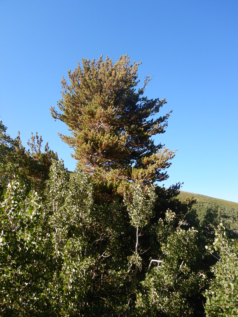 Angel Lake Spring BoxHiking · ~4 min drivePhoto: Matt Lavin, CC BY-SA 2.0 (via Flickr)
- Greys CreekHiking · ~2 min drive
- Secret-StarrHiking · ~3 min drive
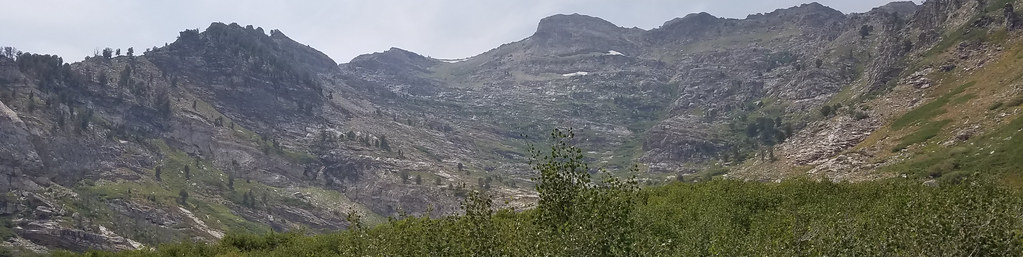 Angel Lake SpringHiking · ~4 min drivePhoto: reverendlukewarm, CC BY-SA 2.0 (via Flickr)
- Trout CreekHiking · ~4 min drive
- North Fork HerderHiking · ~4 min drive
- Smith LakeHiking · ~4 min drivePhoto: reverendlukewarm, CC BY-SA 2.0 (via Flickr)
- Ackler CreekHiking · ~7 min drive
- East Humboldt HighlineHiking · ~4 min drive
- Smith Lake TrailHiking · ~4 min drivePhoto: reverendlukewarm, CC BY-SA 2.0 (via Flickr)
Also worth it near here
 Greys PeakSummit · ~3 min drivePhoto: G. Thomas at English Wikipedia, Public domain (via Wikimedia Commons)
- Angel Lake CampgroundCamping · ~4 min drivePhoto: Matt Lavin — CC BY-SA 2.0 (via Flickr)
- Hole in the MountainNatural arch · ~11 min drive
- Starr CreekCanoeing · ~13 min drive
- Steele LakeLake fishing · ~15 min drive
