Helon Taylor Trail
- 2.8 mi
- one way
- 3,353 ft
- climb
- 4,901 ft
- high point
- Point to point
- route
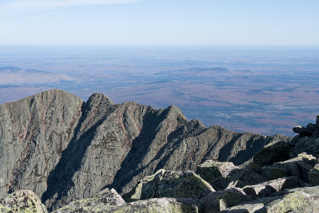
The Helon Taylor Trail is a hard hike in Baxter State Park in Maine, managed by State Park and Recreation. It is a point-to-point route of about 2.8 miles, with a total elevation gain of 3,353 feet. The trail starts at roughly 1,588 feet and climbs to a high point of about 4,901 feet, with the steepest stretch at about 2.5 miles in, where the grade reaches 54 percent. The trail is not for bikes or horses. Plan on about 2.5 hours for the trip. Several other routes sit just 0.1 mile away, including the Chimney Pond Trail, the Roaring Brook Nature Trail and the Sandy Stream Pond Trail. Climbers can find the North Basin area about 2.3 miles off.
- Chimney Pond TrailCross-country skiing0.1 mi
- Roaring Brook Nature TrailHiking0.1 mi
- Sandy Stream Pond TrailHiking0.1 mi
- Russell Pond TrailHiking0.1 mi
 North BasinRock climbingPhoto: Famartin, CC BY-SA 4.0 (via Wikimedia Commons)2.3 mi
- Chimney Pond ("South") Basin - Summer Rock RoutesRock climbing2.5 mi
- j. The Maine Highlands (inc. BSP / Katahdin )Rock climbing2.7 mi
- West Branch Penobscot RiverRiver fishing7.8 mi
Source: Roamze catalog (indexable pages within 10 miles, PostGIS distance)
 North Basin Cut-OffHiking · ~4 min drivePhoto: Pat Spinney, CC BY 2.0 (via Flickr)
 North Basin TrailHiking · ~4 min drivePhoto: davidwilson1949, CC BY 2.0 (via Flickr)
- North Peaks TrailHiking · ~6 min drivePhoto: Pat Spinney, CC BY 2.0 (via Flickr)
- International Appalachian Trail New-BrunswickHiking · ~8 min drive
 Baxter Peak Cutoff TrailHiking · ~7 min drivePhoto: barry.pousman, CC BY 2.0 (via Flickr)
- Chimney Pond TrailHiking · ~4 min drivePhoto: Pat Spinney, CC BY 2.0 (via Flickr)
- Abol Slide TrailHiking · ~7 min drivePhoto: barry.pousman, CC BY 2.0 (via Flickr)
 Kettle Pond TrailHiking · ~10 min drivePhoto: daveynin, CC BY 2.0 (via Flickr)
 Dudley TrailHiking · ~4 min drivePhoto: davidwilson1949, CC BY 2.0 (via Flickr)
- South Turner Mountain TrailHiking · ~1 min drive
Route details
- Distance
- 2.8 mi
- Climbing
- About 3,353 ft
- Summit
- 4,901 ft
- Difficulty
- Hard
- Time
- About 2.5 hours
Permits and fees
Day hikers not camping in the park the prior night need a $10 Katahdin Trailhead Pass (parking reservation) to be assured of hiking from a Katahdin trailhead. Season: June - October (not required in May); reservations open April 1. Official source: https://baxterstatepark.org/general-info/
Other routes up Pamola
Questions about this route
How long is the Helon Taylor Trail on Pamola?
About 2.8 mi.
How much elevation gain is on the Helon Taylor Trail?
About 3,353 ft of climbing round trip.
How hard is the Helon Taylor Trail?
It is rated hard.
How long does the Helon Taylor Trail take?
About 2.5 hours round trip.
Do you need a permit for the Helon Taylor Trail?
Day hikers not camping in the park the prior night need a $10 Katahdin Trailhead Pass (parking reservation) to be assured of hiking from a Katahdin trailhead. Season: June - October (not required in May); reservations open April 1. Official source: https://baxterstatepark.org/general-info/
How many routes go up Pamola?
3: Knife Edge Trail, Dudley Trail and Helon Taylor Trail.
Conditions and forecast on Pamola
Daily highs and lows, wind and the chance of precipitation at the summit and route start for the next 7 days, from the Open-Meteo model.
Map and trail data © OpenStreetMap contributors
