Mountain · 3 routes
Pamola
4,901 ft · Maine
- Summit
- 4,901 ft
- Routes
- 3 ways up
Routes up Pamola
- Knife Edge TrailEasyabout 466 ft of climbing0.9 miSee the route
- Dudley TrailModerateabout 1,978 ft of climbing1.6 miSee the route
- Helon Taylor TrailHardabout 3,353 ft of climbing2.8 miSee the route
| Knife Edge Trail | Dudley Trail | Helon Taylor Trail | |
|---|---|---|---|
| Climbing | About 466 ft | About 1,978 ft | About 3,353 ft |
| Round trip | 0.9 mi | 1.6 mi | 2.8 mi |
| Difficulty | Easy | Moderate | Hard |
| Terrain | Hike | Hike | Hike |
About Pamola
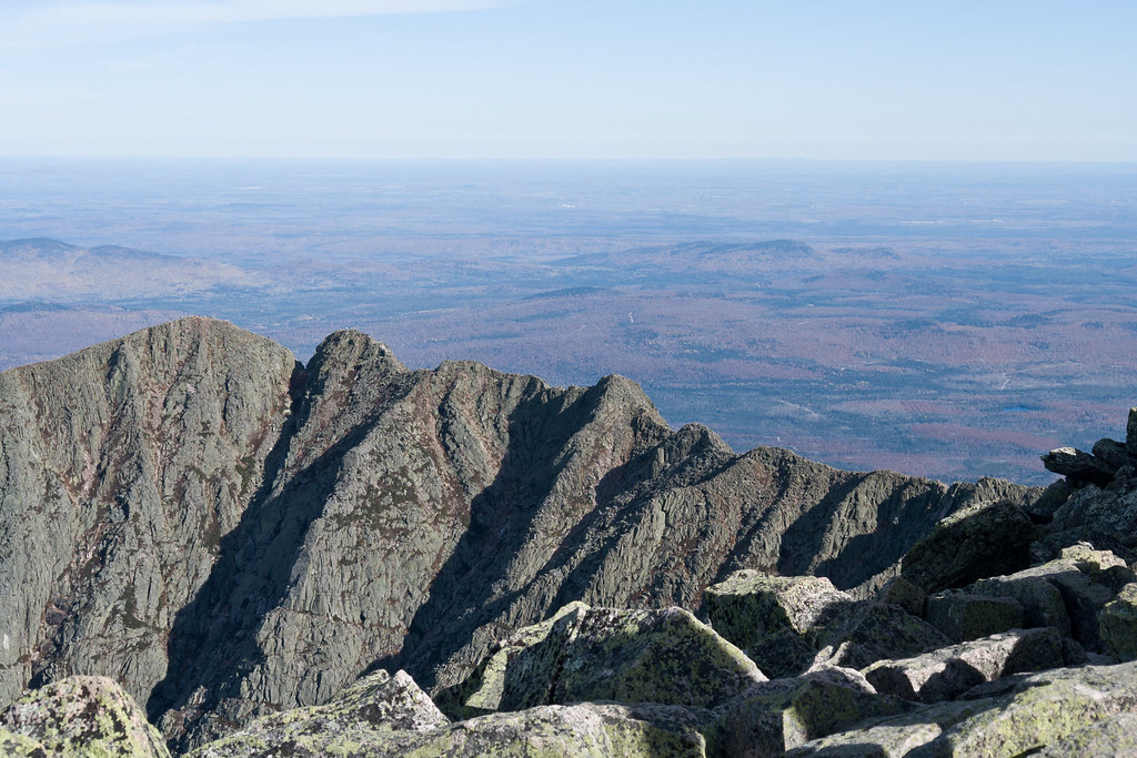
Pamola is a summit in Maine, 4901 feet elevation. It is reached by the Helon Taylor Trail, a public trail passing within 150 meters of the summit.
Before you go
Permits and fees
Day hikers not camping in the park the prior night need a $10 Katahdin Trailhead Pass (parking reservation) to be assured of hiking from a Katahdin trailhead. Season: June - October (not required in May); reservations open April 1. Official source: https://baxterstatepark.org/general-info/
Forecast on Pamola
Daily highs and lows, wind and the chance of precipitation at the summit and route start for the next 7 days, from the Open-Meteo model.
Questions about Pamola
How tall is Pamola?
4,901 ft (1,494 m).
How many routes go to the summit of Pamola?
3: Knife Edge Trail, Dudley Trail and Helon Taylor Trail.
What is the shortest route up Pamola?
Knife Edge Trail, about 0.9 mi.
Do you need a permit to climb Pamola?
Day hikers not camping in the park the prior night need a $10 Katahdin Trailhead Pass (parking reservation) to be assured of hiking from a Katahdin trailhead. Season: June - October (not required in May); reservations open April 1. Official source: https://baxterstatepark.org/general-info/
Mountains nearby
Facts about this place
Nearby
- The Chimney CouloirSki touring0.1 mi
- Chimney Pond ("South") Basin - Summer Rock RoutesRock climbing0.6 mi
 Dudley TrailHikingPhoto: davidwilson1949, CC BY 2.0 (via Flickr)0.7 mi
 Chimney Pond TrailHikingPhoto: Pat Spinney, CC BY 2.0 (via Flickr)0.7 mi
- Knife Edge TrailHiking0.8 mi
 North BasinRock climbingPhoto: Famartin, CC BY-SA 4.0 (via Wikimedia Commons)1.5 mi
- KatahdinRock climbing2.5 mi
- West Branch Penobscot RiverRiver fishing5.7 mi
Source: Roamze catalog (indexable pages within 10 miles, PostGIS distance)
