North Basin Trail
 Photo: davidwilson1949, CC BY 2.0 (via Flickr)
- 0.8 mi
- one way
- 159 ft
- climb
- 3,072 ft
- high point
- Point to point
- route
North Basin Trail is a 0.79-mile hike in Baxter State Park in Maine, managed by State Park and Recreation. It is a point-to-point route with a moderate rating, and the climb totals 159 feet of gain over the course of the trip. The trail starts at about 3,024 feet and reaches a high point of 3,072 feet before descending to 2,844 feet, with the steepest stretch at about 0.59 miles in. The trail is short enough to fit into a half day. It is not a loop, so plan on a one-way trip. Bikes and horses are not allowed. The North Basin Cut-Off lies about 0.2 miles away, and the North Basin climbing area is about 0.3 miles off. The Dudley Trail is about 0.5 miles away, and the Chimney Pond Trail, a cross-country ski route, is about 0.3 miles away.
Keep exploring — more trails worth the drive
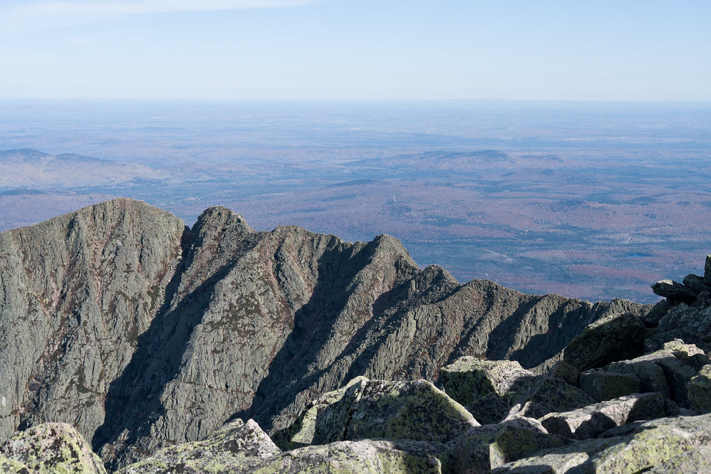 Photo: Pat Spinney, CC BY 2.0 (via Flickr)
North Basin Cut-Off
Next door
North Basin Cut-Off is a 0.61-mile point-to-point trail in Maine with 26 feet of elevation gain.
Photo: Pat Spinney, CC BY 2.0 (via Flickr)Chimney Pond Trail
Next door
3.08-mile point-to-point trail in Maine with 1,480 ft gain
Photo: Pat Spinney, CC BY 2.0 (via Flickr)North Peaks Trail
~2 min drive
5.16-mile point-to-point trail in Maine with 243 ft gain and 3,332 ft loss
 Photo: barry.pousman, CC BY 2.0 (via Flickr)
Baxter Peak Cutoff Trail
~4 min drive
0.92-mile point-to-point trail in Maine with 291 ft elevation gain.
 Photo: davidwilson1949, CC BY 2.0 (via Flickr)
Dudley Trail
Next door
Dudley Trail is a 1.56-mile point-to-point trail in Maine with 2,358 ft of elevation gain.
Photo: barry.pousman, CC BY 2.0 (via Flickr)Abol Slide Trail
~4 min drive
2.87-mile point-to-point trail in Maine with 192 ft gain and 3,388 ft loss.
 Photo: daveynin, CC BY 2.0 (via Flickr)
Rum Pond Trail
~10 min drive
1.88-mile point-to-point trail in Maine with 434 ft gain
 Photo: barry.pousman, CC BY 2.0 (via Flickr)
Owl Trail
~7 min drive
Owl Trail is a 1.97-mile point-to-point trail in Maine with 2,169 ft of elevation gain.
Photo: barry.pousman, CC BY 2.0 (via Flickr)Hunt Trail
~9 min drive
9.42-mile out-and-back trail in Maine with 4,319 ft gain and 5,209 ft max elevation.
Photo: daveynin, CC BY 2.0 (via Flickr)Kettle Pond Trail
~10 min drive
Kettle Pond Trail is a 1.79-mile point-to-point trail in Maine with 324 ft of elevation gain.

Map and trail data © OpenStreetMap contributors
