Chimney Pond Trail
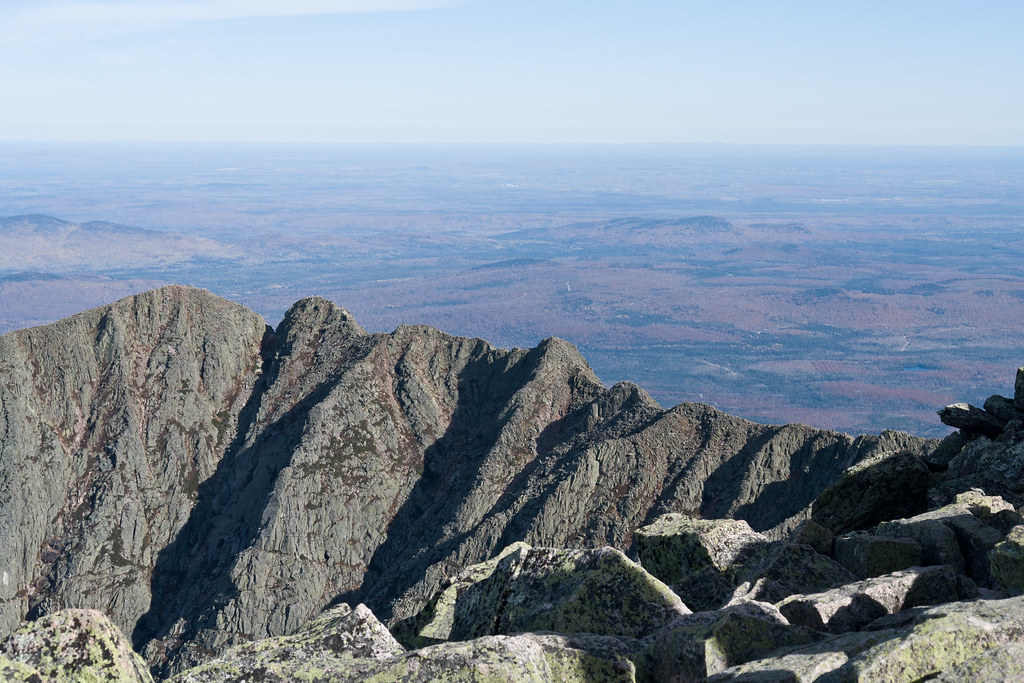 Photo: Pat Spinney, CC BY 2.0 (via Flickr)
- 3.1 mi
- one way
- 1,275 ft
- climb
- 2,925 ft
- high point
- Point to point
- route
Chimney Pond Trail is a 3.1-mile moderate hike in Baxter State Park in Maine, managed by State Park and Recreation. The trail rises from about 1,487 feet to a high point of 2,925 feet, with a total elevation gain of 1,275 feet. It is a point-to-point route, and the climb is steeper in the upper reaches. The trail is close to several other destinations. Dudley Trail and the Chimney Pond ("South") Basin - Summer Rock Routes climbing area both sit about 0.1 mile away. North Basin Trail is about half a mile off, and The Chimney Couloir, a ski touring route, is about 0.7 mile away.
Keep exploring — more trails worth the drive
 Photo: davidwilson1949, CC BY 2.0 (via Flickr)
North Basin Trail
Next door
0.79-mile point-to-point trail in Maine with 260 ft gain.
Photo: Pat Spinney, CC BY 2.0 (via Flickr)North Basin Cut-Off
~1 min drive
North Basin Cut-Off is a 0.61-mile point-to-point trail in Maine with 26 feet of elevation gain.
Photo: Pat Spinney, CC BY 2.0 (via Flickr)North Peaks Trail
~2 min drive
5.16-mile point-to-point trail in Maine with 243 ft gain and 3,332 ft loss
 Photo: barry.pousman, CC BY 2.0 (via Flickr)
Owl Trail
~6 min drive
Owl Trail is a 1.97-mile point-to-point trail in Maine with 2,169 ft of elevation gain.
 Photo: barry.pousman, CC BY 2.0 (via Flickr)
Baxter Peak Cutoff Trail
~3 min drive
0.92-mile point-to-point trail in Maine with 291 ft elevation gain.
Photo: barry.pousman, CC BY 2.0 (via Flickr)Abol Slide Trail
~3 min drive
2.87-mile point-to-point trail in Maine with 192 ft gain and 3,388 ft loss.
HIKE
Cathedral Trail
~1 min drive
Short point-to-point Maine trail with scenic views and easy access.
 Photo: daveynin, CC BY 2.0 (via Flickr)
Rum Pond Trail
~9 min drive
1.88-mile point-to-point trail in Maine with 434 ft gain
Photo: barry.pousman, CC BY 2.0 (via Flickr)Hunt Trail
~8 min drive
9.42-mile out-and-back trail in Maine with 4,319 ft gain and 5,209 ft max elevation.
HIKE
Saddle Trail
~2 min drive
1.96-mile point-to-point trail in Maine with 1,986 ft elevation gain

Map and trail data © OpenStreetMap contributors
