Kettle Pond Trail
 Photo: daveynin, CC BY 2.0 (via Flickr)
- 1.8 mi
- one way
- 113 ft
- climb
- 649 ft
- high point
- Point to point
- route
Kettle Pond Trail is an easy hike in Baxter State Park in Maine, a point-to-point route of about 1.8 miles with a low point of 597 feet and a high of 649 feet. The trail rises about 113 feet, and the steepest stretch comes near the start at about 12%, which makes it a gentle climb over a short distance. Summer is the most comfortable time to go. Typical averages from the Millinocket weather station, about 16 miles away, show July and August highs around 78°F with lows in the mid-50s. That station sits roughly 290 feet below the trail, so temperatures on the route run a bit cooler. Bikes and horses are not allowed on this trail. Rum Pond Trail starts just 0.1 mile away, and Cranberry Pond Trail is half a mile off. In winter, Roaring Brook Road and Park Tote Road, both about 1.1 miles away, offer cross-country skiing.
Keep exploring — more trails worth the drive
Photo: daveynin, CC BY 2.0 (via Flickr)Rum Pond Trail
Next door
1.88-mile point-to-point trail in Maine with 434 ft gain
 Photo: barry.pousman, CC BY 2.0 (via Flickr)
Abol Slide Trail
~7 min drive
2.87-mile point-to-point trail in Maine with 192 ft gain and 3,388 ft loss.
 Photo: davidwilson1949, CC BY 2.0 (via Flickr)
Dudley Trail
~9 min drive
Dudley Trail is a 1.56-mile point-to-point trail in Maine with 2,358 ft of elevation gain.
Photo: daveynin, CC BY 2.0 (via Flickr)Cranberry Pond Trail
Next door
Easy point-to-point trail through Maine wetlands near Cranberry Pond.
 Photo: barry.pousman, CC BY 2.0 (via Flickr)
Hunt Trail
~9 min drive
9.42-mile out-and-back trail in Maine with 4,319 ft gain and 5,209 ft max elevation.
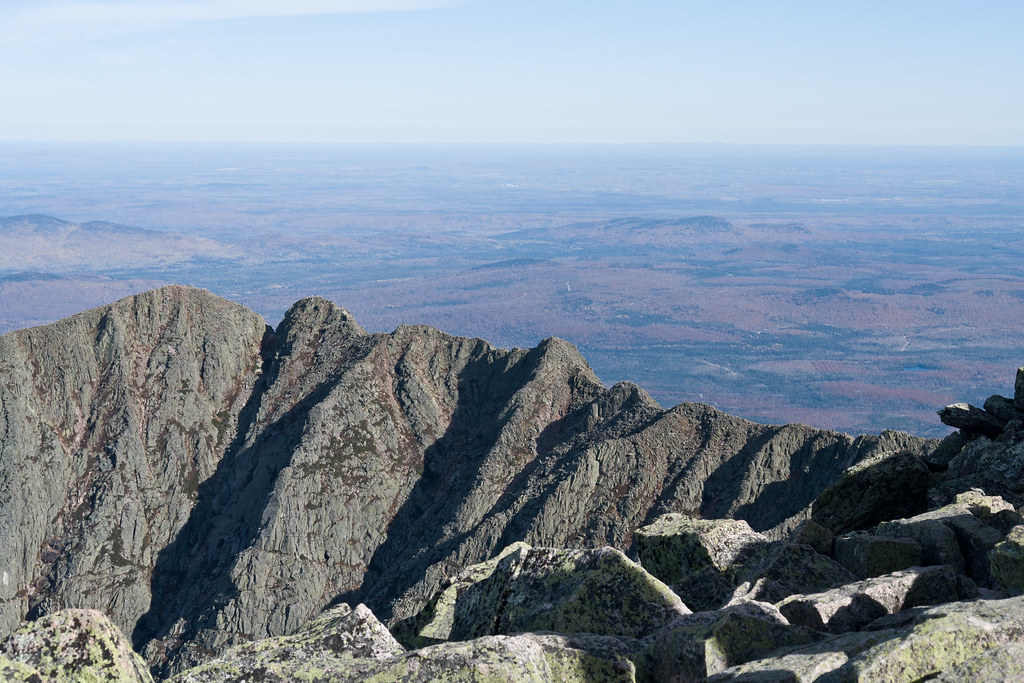 Photo: Pat Spinney, CC BY 2.0 (via Flickr)
Chimney Pond Trail
~9 min drive
3.08-mile point-to-point trail in Maine with 1,480 ft gain
 Photo: daveynin, CC BY 2.0 (via Flickr)
Logan Pond Trail
~3 min drive
1.7-mile out-and-back trail in Maine with 189 ft elevation gain.
Photo: Pat Spinney, CC BY 2.0 (via Flickr)North Peaks Trail
~10 min drive
5.16-mile point-to-point trail in Maine with 243 ft gain and 3,332 ft loss
Photo: barry.pousman, CC BY 2.0 (via Flickr)Owl Trail
~9 min drive
Owl Trail is a 1.97-mile point-to-point trail in Maine with 2,169 ft of elevation gain.
Photo: barry.pousman, CC BY 2.0 (via Flickr)Baxter Peak Cutoff Trail
~7 min drive
0.92-mile point-to-point trail in Maine with 291 ft elevation gain.
Map and trail data © OpenStreetMap contributors
