Dudley Trail
 Photo: davidwilson1949, CC BY 2.0 (via Flickr)
- 1.6 mi
- one way
- 1,978 ft
- climb
- 4,901 ft
- high point
- Point to point
- route
Dudley Trail is a moderate hike in Baxter State Park in Maine, a 1.6-mile route that rises from about 2,900 feet to nearly 5,000 feet, with a total elevation gain of 1,978 feet. The climb is steepest around the 1.3-mile mark, where the grade reaches about 56 percent. The trail runs from a low point of 2,892 feet to a high of 4,901 feet, and the route is point to point rather than a loop. The trail sits within Baxter State Park, managed by State Park and Recreation. Bicycles and horses are not allowed. The trip takes about 1.5 hours. The Chimney Pond Trail and the Chimney Pond (South) Basin - Summer Rock Routes climbing area both lie about 0.1 mile away, and the North Basin Trail is half a mile off. The West Branch Penobscot River, about 6 miles away, offers river fishing.
Keep exploring — more trails worth the drive
 Photo: davidwilson1949, CC BY 2.0 (via Flickr)
North Basin Trail
Next door
0.79-mile point-to-point trail in Maine with 260 ft gain.
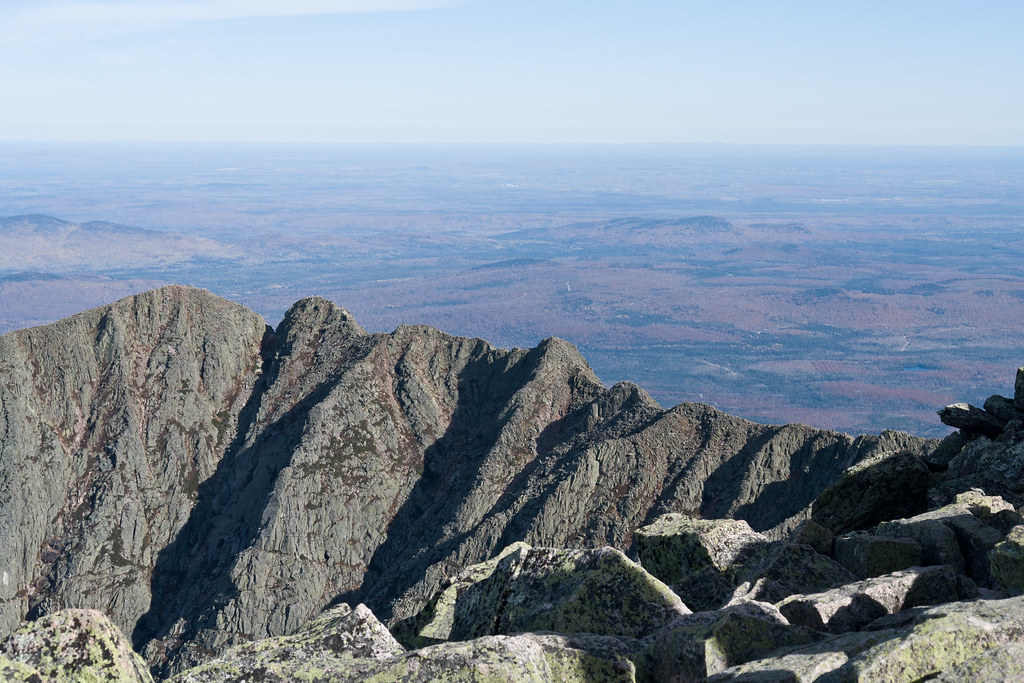 Photo: Pat Spinney, CC BY 2.0 (via Flickr)
North Basin Cut-Off
~1 min drive
North Basin Cut-Off is a 0.61-mile point-to-point trail in Maine with 26 feet of elevation gain.
Photo: Pat Spinney, CC BY 2.0 (via Flickr)North Peaks Trail
~2 min drive
5.16-mile point-to-point trail in Maine with 243 ft gain and 3,332 ft loss
 Photo: barry.pousman, CC BY 2.0 (via Flickr)
Owl Trail
~6 min drive
Owl Trail is a 1.97-mile point-to-point trail in Maine with 2,169 ft of elevation gain.
 Photo: barry.pousman, CC BY 2.0 (via Flickr)
Baxter Peak Cutoff Trail
~3 min drive
0.92-mile point-to-point trail in Maine with 291 ft elevation gain.
Photo: barry.pousman, CC BY 2.0 (via Flickr)Abol Slide Trail
~3 min drive
2.87-mile point-to-point trail in Maine with 192 ft gain and 3,388 ft loss.
HIKE
Cathedral Trail
~1 min drive
Short point-to-point Maine trail with scenic views and easy access.
 Photo: daveynin, CC BY 2.0 (via Flickr)
Rum Pond Trail
~9 min drive
1.88-mile point-to-point trail in Maine with 434 ft gain
Photo: barry.pousman, CC BY 2.0 (via Flickr)Hunt Trail
~8 min drive
9.42-mile out-and-back trail in Maine with 4,319 ft gain and 5,209 ft max elevation.
HIKE
Saddle Trail
~2 min drive
1.96-mile point-to-point trail in Maine with 1,986 ft elevation gain

Route details
- Distance
- 1.6 mi
- Climbing
- About 1,978 ft
- Summit
- 4,901 ft
- Difficulty
- Moderate
- Time
- About 1.5 hours
Other routes up Pamola
Questions about this route
How long is the Dudley Trail on Pamola?
About 1.6 mi.
How much elevation gain is on the Dudley Trail?
About 1,978 ft of climbing round trip.
How hard is the Dudley Trail?
It is rated moderate.
How long does the Dudley Trail take?
About 1.5 hours round trip.
How many routes go up Pamola?
3: Knife Edge Trail, Dudley Trail and Helon Taylor Trail.
Conditions and forecast on Pamola
Daily highs and lows, wind and the chance of precipitation at the summit and route start for the next 7 days, from the Open-Meteo model.
Map and trail data © OpenStreetMap contributors
