Cathedral Trail
- 1.1 mi
- one way
- 1,745 ft
- climb
- 5,145 ft
- high point
- Point to point
- route
Cathedral Trail is a moderate hike in Baxter State Park in Maine, a state park managed by State Park and Recreation. The route is about a mile long, with a one-way elevation gain of 1,745 feet, and it rises from a starting point of about 4,688 feet to a high point of about 5,145 feet. The climb is back-loaded, so the steepest part comes later in the hike. The trail is a point-to-point route, and it is not open to bikes or horses. The trip takes about an hour, and the surrounding area offers several other destinations within a short distance. Knife Edge Trail and Saddle Trail both lie about 0.3 miles away, and Chimney Pond Trail is about 0.8 miles off. Climbers can find the Chimney Pond ("South") Basin - Summer Rock Routes climbing area roughly 0.7 miles from the trail.
Local outfitters
- Northeast Whitewater49 mi away
Not on Roamze yet. Their page has how to reach them.
Keep exploring — more trails worth the drive
 Photo: davidwilson1949, CC BY 2.0 (via Flickr)
Dudley Trail
~1 min drive
Dudley Trail is a 1.56-mile point-to-point trail in Maine with 2,358 ft of elevation gain.
 Photo: barry.pousman, CC BY 2.0 (via Flickr)
Abol Slide Trail
~2 min drive
2.87-mile point-to-point trail in Maine with 192 ft gain and 3,388 ft loss.
Photo: barry.pousman, CC BY 2.0 (via Flickr)Baxter Peak Cutoff Trail
~2 min drive
0.92-mile point-to-point trail in Maine with 291 ft elevation gain.
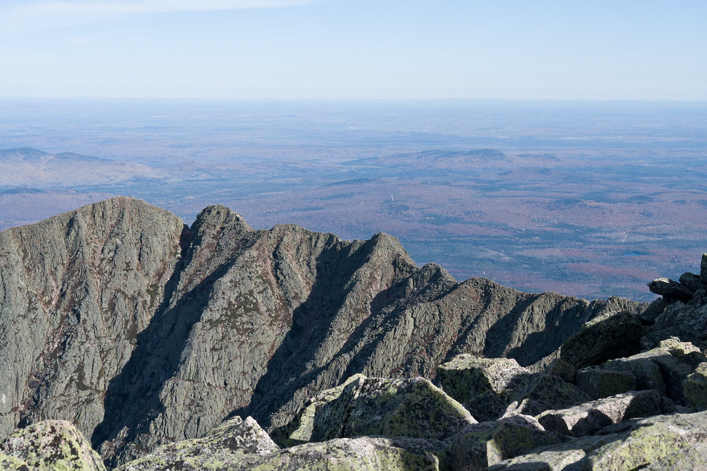 Photo: Pat Spinney, CC BY 2.0 (via Flickr)
Chimney Pond Trail
~1 min drive
3.08-mile point-to-point trail in Maine with 1,480 ft gain
Photo: Pat Spinney, CC BY 2.0 (via Flickr)North Peaks Trail
~2 min drive
5.16-mile point-to-point trail in Maine with 243 ft gain and 3,332 ft loss
Photo: Pat Spinney, CC BY 2.0 (via Flickr)North Basin Cut-Off
~2 min drive
North Basin Cut-Off is a 0.61-mile point-to-point trail in Maine with 26 feet of elevation gain.
 Photo: davidwilson1949, CC BY 2.0 (via Flickr)
North Basin Trail
~2 min drive
0.79-mile point-to-point trail in Maine with 260 ft gain.
 Photo: barry.pousman, CC BY 2.0 (via Flickr)
Hunt Trail
~7 min drive
9.42-mile out-and-back trail in Maine with 4,319 ft gain and 5,209 ft max elevation.
 Photo: daveynin, CC BY 2.0 (via Flickr)
Rum Pond Trail
~8 min drive
1.88-mile point-to-point trail in Maine with 434 ft gain
Photo: barry.pousman, CC BY 2.0 (via Flickr)Owl Trail
~5 min drive
Owl Trail is a 1.97-mile point-to-point trail in Maine with 2,169 ft of elevation gain.
Also worth it near here
Map and trail data © OpenStreetMap contributors
